0 Apache Way Unit 665081 Collbran, CO 81624
Estimated Value: $521,502 - $1,540,000
3
Beds
2
Baths
1,876
Sq Ft
$430/Sq Ft
Est. Value
About This Home
This home is located at 0 Apache Way Unit 665081, Collbran, CO 81624 and is currently estimated at $806,626, approximately $429 per square foot. 0 Apache Way Unit 665081 is a home located in Mesa County with nearby schools including Plateau Valley Elementary School, Plateau Valley Middle School, and Plateau Valley High School.
Ownership History
Date
Name
Owned For
Owner Type
Purchase Details
Closed on
Apr 28, 2017
Sold by
Hill Hill R and Hill Debra A
Bought by
Danks Dave and Danks Samantha
Current Estimated Value
Home Financials for this Owner
Home Financials are based on the most recent Mortgage that was taken out on this home.
Original Mortgage
$287,693
Outstanding Balance
$241,194
Interest Rate
4.4%
Mortgage Type
FHA
Estimated Equity
$565,432
Purchase Details
Closed on
Jun 23, 2005
Sold by
My Way Development Corp
Bought by
Hill R Scott and Hill Debra A
Create a Home Valuation Report for This Property
The Home Valuation Report is an in-depth analysis detailing your home's value as well as a comparison with similar homes in the area
Purchase History
| Date | Buyer | Sale Price | Title Company |
|---|---|---|---|
| Danks Dave | $293,000 | Heritage Title Co | |
| Hill R Scott | $66,000 | -- | |
| My Way Development Corp | $49,000 | -- |
Source: Public Records
Mortgage History
| Date | Status | Borrower | Loan Amount |
|---|---|---|---|
| Open | Danks Dave | $287,693 |
Source: Public Records
Tax History
| Year | Tax Paid | Tax Assessment Tax Assessment Total Assessment is a certain percentage of the fair market value that is determined by local assessors to be the total taxable value of land and additions on the property. | Land | Improvement |
|---|---|---|---|---|
| 2024 | $1,048 | $19,130 | $1,690 | $17,440 |
| 2023 | $1,048 | $19,130 | $1,690 | $17,440 |
| 2022 | $954 | $22,080 | $700 | $21,380 |
| 2021 | $1,066 | $22,720 | $720 | $22,000 |
| 2020 | $950 | $21,050 | $620 | $20,430 |
| 2019 | $842 | $21,050 | $620 | $20,430 |
| 2018 | $916 | $18,790 | $3,600 | $15,190 |
| 2017 | $888 | $18,790 | $3,600 | $15,190 |
| 2016 | $914 | $19,270 | $3,980 | $15,290 |
| 2015 | $878 | $19,270 | $3,980 | $15,290 |
| 2014 | $842 | $18,380 | $3,980 | $14,400 |
Source: Public Records
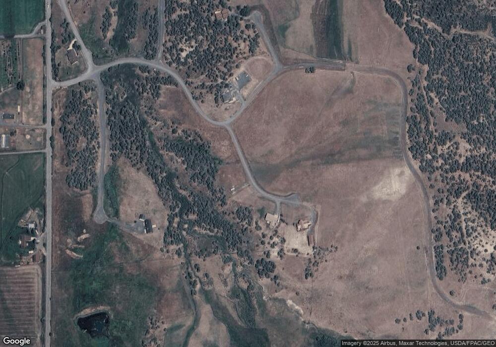
Map
Nearby Homes
- 14495 Scott Loop
- 14495 Scott Loop Unit 23
- 58798 Delores Dr Unit 2
- 58798 Delores Dr
- 900 Thistle Ct
- 603 Clancy Ave
- 555 Glenarm Ave Unit 1
- 555 Glenarm Ave
- 58590 Pe 3 10 Rd
- TBD H Oe Rd
- 57191 Me Rd
- TBD 56 1 4 Rd
- 18842 58 6 10 Rd
- 18842 Kimball Creek Rd
- TBD Harrison Creek Gulch Rd
- TBD Tbd
- 19106 Kimball Creek Rd
- 56001 Kk Rd
- 0 Apache Way Unit 769025
- 0 Apache Way Unit 624009
- 0 Apache Way Unit 633891
- 0 Apache Way Unit 645466
- 14325 Apache Ln
- 14301 Apache Ln
- 14351 Apache Ln
- 14401 Apache Way
- 14375 Apache Way
- 14375 & 14401 Apache Way
- 14480 N Scott Loop
- 0 Scott Loop Unit 699247
- 0 Scott Loop Unit 613715
- 0 Scott Loop Unit 685121
- 14475 Scott Loop
- 14501 Geronimo Way
- 14279 59 1/2 Rd
- 14118 59 1/2 Rd
- 0 Broken Arrow Ln Unit 643533
- 14475 N Ouray Ct
Your Personal Tour Guide
Ask me questions while you tour the home.