Estimated Value: $703,843 - $792,000
4
Beds
4
Baths
2,020
Sq Ft
$372/Sq Ft
Est. Value
About This Home
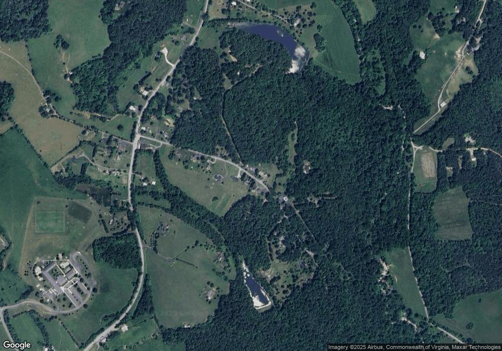
This home is located at 0 Bland Wade Ln Unit 491286, Afton, VA 22920 and is currently estimated at $750,961, approximately $371 per square foot. 0 Bland Wade Ln Unit 491286 is a home located in Nelson County with nearby schools including Nelson County High School and North Branch School.
Ownership History
Date
Name
Owned For
Owner Type
Purchase Details
Closed on
Mar 9, 2015
Sold by
Fuhrman Robert E and Fuhrman Barbara T
Bought by
Engebretson Kenneth A and Engebretson Jeri L
Current Estimated Value
Home Financials for this Owner
Home Financials are based on the most recent Mortgage that was taken out on this home.
Original Mortgage
$384,000
Outstanding Balance
$297,292
Interest Rate
3.75%
Mortgage Type
Adjustable Rate Mortgage/ARM
Estimated Equity
$453,669
Purchase Details
Closed on
Jul 23, 2009
Sold by
Skinner Garry N
Bought by
Fuhrman Robert E and Fuhrman Barbara T
Create a Home Valuation Report for This Property
The Home Valuation Report is an in-depth analysis detailing your home's value as well as a comparison with similar homes in the area
Home Values in the Area
Average Home Value in this Area
Purchase History
| Date | Buyer | Sale Price | Title Company |
|---|---|---|---|
| Engebretson Kenneth A | $74,000 | Chicago Title Insurance Co | |
| Fuhrman Robert E | $112,500 | Chicago Title Ins Corp |
Source: Public Records
Mortgage History
| Date | Status | Borrower | Loan Amount |
|---|---|---|---|
| Open | Engebretson Kenneth A | $384,000 |
Source: Public Records
Tax History Compared to Growth
Tax History
| Year | Tax Paid | Tax Assessment Tax Assessment Total Assessment is a certain percentage of the fair market value that is determined by local assessors to be the total taxable value of land and additions on the property. | Land | Improvement |
|---|---|---|---|---|
| 2025 | $3,515 | $540,700 | $104,400 | $436,300 |
| 2024 | $3,515 | $540,700 | $104,400 | $436,300 |
| 2023 | $3,515 | $540,700 | $104,400 | $436,300 |
| 2022 | $3,515 | $540,700 | $104,400 | $436,300 |
| 2021 | $2,917 | $405,200 | $89,400 | $315,800 |
| 2020 | $2,917 | $405,200 | $89,400 | $315,800 |
| 2019 | $2,917 | $405,200 | $89,400 | $315,800 |
| 2018 | $0 | $405,200 | $89,400 | $315,800 |
| 2017 | $3,280 | $455,600 | $89,400 | $366,200 |
| 2016 | $3,280 | $455,600 | $89,400 | $366,200 |
| 2015 | $644 | $89,400 | $89,400 | $0 |
| 2014 | $644 | $89,400 | $89,400 | $0 |
Source: Public Records
Map
Nearby Homes
- 23 Lookaway Hills Dr
- Lot 7B Rockfish Valley Hwy Unit 7B
- Lot 1 Rockfish Valley Hwy Unit 1
- Lot 3 Rockfish Valley Hwy Unit 3
- Lot 1 Rockfish Valley Hwy
- Lot 3 Rockfish Valley Hwy
- Lot 7B Rockfish Valley Hwy
- 234 Creek Rd
- 25 Falling Springs Dr
- 8540 Taylor Creek Rd
- 61 Hillside Ln
- 2635 Ennis Mountain Rd
- TBD Batesville Rd
- TBD Batesville Rd Unit 2
- 299 Sunrise Dr
- TBD Cherry Grove Ln
- 722 Greenfield Mountain Farm
- 722 Greenfield Mountain Farm Unit 19, 20, 21 AND 22
- 5321 River Rd
- 0 Bland Wade Ln Unit 467678
- 258 Bland Wade Ln
- 202 Bland Wade Ln
- 211 Bland Wade Ln
- 138 Bland Wade Ln
- 288 Bland Wade Ln
- 288 Bland Wade Ln
- 277 Bland Wade Ln
- 316 Bland Wade Ln
- 299 Bland Wade Ln
- 106 Bland Wade Ln
- 346 Bland Wade Ln
- 367 Bland Wade Ln
- 67 Bland Wade Ln
- 7790 Rockfish Valley Hwy
- 8052 Rockfish Valley Hwy
- 8062 Rockfish Valley Hwy
- 75 Lookaway Hills Dr
- 7852 Rockfish Valley Hwy
- 415 Bland Wade Ln
