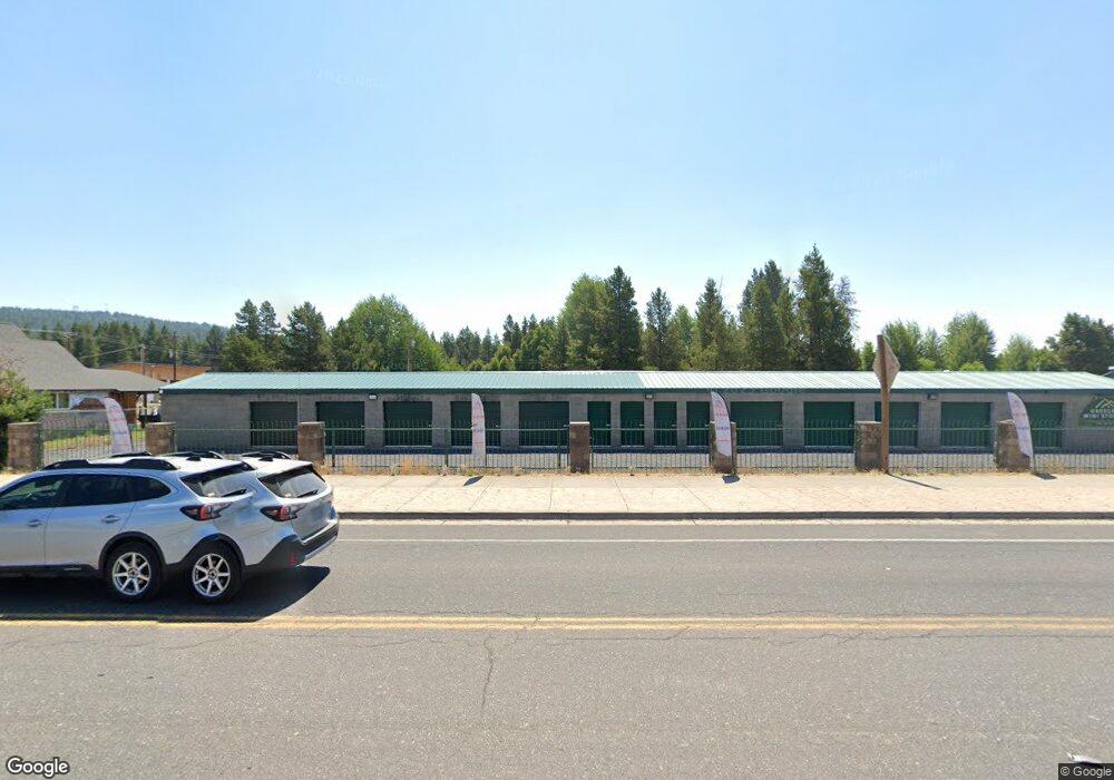
0 Block: 36 Lot: 1 (5th St ) Unit 220157098 Crescent, OR 97733
Estimated Value: $164,000
--
Bed
--
Bath
--
Sq Ft
6,534
Sq Ft Lot
About This Home
This home is located at 0 Block: 36 Lot: 1 (5th St ) Unit 220157098, Crescent, OR 97733 and is currently estimated at $164,000. 0 Block: 36 Lot: 1 (5th St ) Unit 220157098 is a home located in Klamath County with nearby schools including Gilchrist Elementary School and Gilchrist Junior/Senior High School.
Ownership History
Date
Name
Owned For
Owner Type
Purchase Details
Closed on
Aug 24, 2024
Sold by
Swanson Glenn Frederick Daniel
Bought by
Greenfield Jacob
Current Estimated Value
Purchase Details
Closed on
Jul 19, 2019
Sold by
Land Equities Inc
Bought by
Swanson Glenn Frederick Daniel
Purchase Details
Closed on
Apr 20, 2018
Sold by
Klamath County
Bought by
Land Equities Inc
Purchase Details
Closed on
Sep 26, 2017
Sold by
Debbie Berkham and Nahreem Motaraa Kasheena
Bought by
Klamath County
Create a Home Valuation Report for This Property
The Home Valuation Report is an in-depth analysis detailing your home's value as well as a comparison with similar homes in the area
Home Values in the Area
Average Home Value in this Area
Purchase History
| Date | Buyer | Sale Price | Title Company |
|---|---|---|---|
| Greenfield Jacob | $18,000 | Amerititle | |
| Swanson Glenn Frederick Daniel | $9,995 | None Available | |
| Land Equities Inc | $1,000 | None Available | |
| Klamath County | -- | None Available |
Source: Public Records
Tax History Compared to Growth
Tax History
| Year | Tax Paid | Tax Assessment Tax Assessment Total Assessment is a certain percentage of the fair market value that is determined by local assessors to be the total taxable value of land and additions on the property. | Land | Improvement |
|---|---|---|---|---|
| 2024 | $271 | $21,090 | $21,090 | -- |
| 2023 | $261 | $21,090 | $21,090 | $0 |
| 2022 | $255 | $19,890 | $0 | $0 |
| 2021 | $248 | $19,320 | $0 | $0 |
| 2020 | $241 | $18,760 | $0 | $0 |
| 2019 | $235 | $18,220 | $0 | $0 |
| 2018 | $229 | $17,690 | $0 | $0 |
| 2017 | $46 | $2,320 | $0 | $0 |
| 2016 | $46 | $2,260 | $0 | $0 |
| 2015 | $45 | $2,200 | $0 | $0 |
| 2014 | $44 | $2,140 | $0 | $0 |
| 2013 | -- | $2,080 | $0 | $0 |
Source: Public Records
Map
Nearby Homes
- 102 Jones St
- 436 Bonner Ln
- 0 Hwy 97 N Unit 450805065
- 0 Hwy 97 N Unit 271247334
- 0 Hwy 97 N Unit 220204920
- 137008 Main St
- 137127 Main St
- 135962 Highway 97 N
- 0 Bitterbrush Ln
- 1052 S Airport Dr
- 138118 Hillcrest St
- 138223 Hillcrest St
- 138632 Rhododendron St
- 0 Kamloop Ln Unit LOT 14 220205081
- 0 Kamloop Ln Unit LOT 14 397159429
- 400 Houser Ln
- 132860 Hwy 97
- 132860 Highway 97 N
- 140629 Kokanee Ln
- 000 Hwy 97 Hwy
