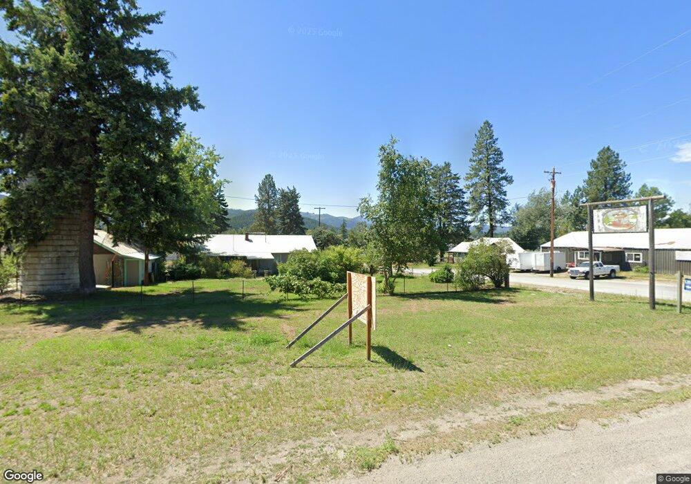
0 Burcham Unit 20-7083 Blanchard, ID 83804
Estimated Value: $306,000 - $453,000
--
Bed
--
Bath
--
Sq Ft
20
Acres
About This Home
This home is located at 0 Burcham Unit 20-7083, Blanchard, ID 83804 and is currently estimated at $379,500. 0 Burcham Unit 20-7083 is a home located in Bonner County.
Ownership History
Date
Name
Owned For
Owner Type
Purchase Details
Closed on
Aug 26, 2020
Sold by
Brien Sonya O
Bought by
Mogannam James and Mogannam Pamela
Current Estimated Value
Purchase Details
Closed on
May 2, 2018
Sold by
Derdge Angela R
Bought by
National Assocated Properties Llc
Purchase Details
Closed on
Apr 1, 2005
Sold by
National Associated Properties Inc
Bought by
Ward Patrick J and Ward Coleen M
Create a Home Valuation Report for This Property
The Home Valuation Report is an in-depth analysis detailing your home's value as well as a comparison with similar homes in the area
Home Values in the Area
Average Home Value in this Area
Purchase History
| Date | Buyer | Sale Price | Title Company |
|---|---|---|---|
| Mogannam James | -- | Kootenai County Title | |
| National Assocated Properties Llc | -- | Kootenai County Title Co | |
| Ward Patrick J | -- | None Available |
Source: Public Records
Tax History Compared to Growth
Tax History
| Year | Tax Paid | Tax Assessment Tax Assessment Total Assessment is a certain percentage of the fair market value that is determined by local assessors to be the total taxable value of land and additions on the property. | Land | Improvement |
|---|---|---|---|---|
| 2025 | $538 | $269,150 | $269,150 | $0 |
| 2024 | $538 | $179,428 | $179,428 | $0 |
| 2023 | $508 | $163,120 | $163,120 | $0 |
| 2022 | $625 | $148,287 | $148,287 | $0 |
| 2021 | $499 | $80,154 | $80,154 | $0 |
| 2020 | $344 | $51,653 | $51,653 | $0 |
| 2019 | $359 | $51,653 | $51,653 | $0 |
| 2018 | $421 | $43,040 | $43,040 | $0 |
| 2017 | $421 | $47,826 | $0 | $0 |
| 2016 | $417 | $47,826 | $0 | $0 |
| 2015 | -- | $43,472 | $0 | $0 |
| 2014 | -- | $37,797 | $0 | $0 |
Source: Public Records
Map
Nearby Homes
- NNA Usfs 2550 (40 Acres)
- NKA Rogstad Powerline Rd
- NNA Links Dr
- 681 Hummingbird Ln
- NNA Stone Rd Lot 3 (20 1 Acres)
- NKA
- 38 Cannon Ln
- 55 Cannon Ln
- LT 3 BLK 1 Cannon Ln
- LT 2 BLK 2 Cannon Ln
- NNA Stone Rd Lot 5 (20 0 Acres)
- NKA
- NKA
- NNA Stone Rd Lot 2 (20 0 Acres)
- 162 S Cedar View
- L2 B1 Wallace Ln
- 53 Wallace Ln
- 52 Wallace Ln
- LT 3 BLK 1 Wallace Ln
- LT 4 BLK 1 Wallace Ln
- NKA Burcham
- 259 Wayne's Rd
- 416 Miner Dr
- 416 Miner Dr
- 416 Miner Dr
- NKA Waynes ( 20 Acres )
- 121 Ruger Dr
- 1333 Rogstad Powerline Rd
- 1465 Rogstad Powerline Rd
- 1339 Rogstad Powerline Rd
- 240 Simeral Rd
- 0 Wayne's Rd
- NNA Wayne's Rd
- 20 acres Wayne's Rd
- 1110 Ridge Top Rd
- 1447 Rogstad Powerline Rd
- NNA Waynes Rd
- 1672 Rogstad Powerline Rd
- 0 Nna Rogstad Power Line Rd Unit 16-3200
- 0 Nna Rogstad Power Line Rd Unit 16-10835
