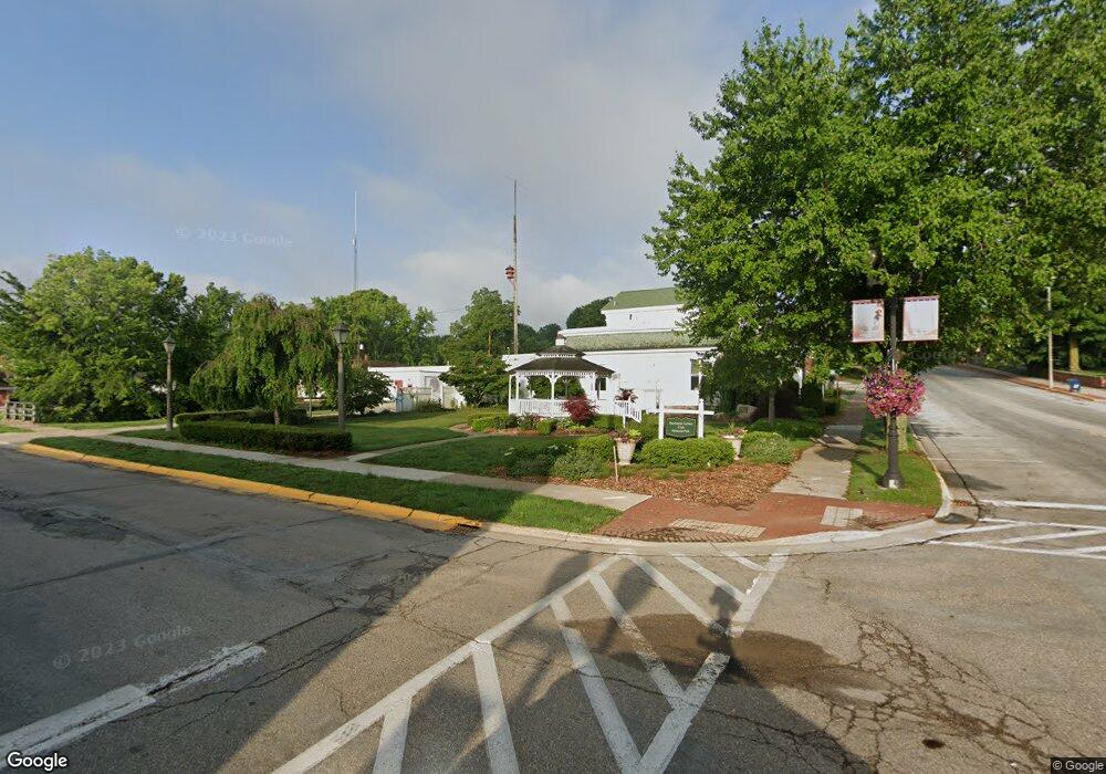
0 Carroll Unit 69021021438 Buchanan, MI 49107
Estimated Value: $284,000 - $353,759
--
Bed
--
Bath
2,784
Sq Ft
$118/Sq Ft
Est. Value
About This Home
This home is located at 0 Carroll Unit 69021021438, Buchanan, MI 49107 and is currently estimated at $328,190, approximately $117 per square foot. 0 Carroll Unit 69021021438 is a home located in Berrien County with nearby schools including Ottawa Elementary School, Moccasin Elementary School, and Buchanan Middle School.
Ownership History
Date
Name
Owned For
Owner Type
Purchase Details
Closed on
Nov 10, 2021
Sold by
Conard Nancy
Bought by
Keeton Brian and Keeton Katelyn
Current Estimated Value
Purchase Details
Closed on
Nov 9, 2021
Sold by
Fifth Third Bank
Bought by
Keaton Brian M and Keeton Katelyn
Purchase Details
Closed on
Feb 24, 2020
Sold by
Fifth Third Bank
Bought by
Fifth Third Bank and Richard E Wiggins Gst Non Ex Marital Tr
Purchase Details
Closed on
Dec 19, 2019
Sold by
Wiggins Bette J and Estate Of Richard E Wiggins
Bought by
Fifth Third Bank and Richard E Wiggins Irrevocable Trust
Purchase Details
Closed on
Mar 17, 1995
Create a Home Valuation Report for This Property
The Home Valuation Report is an in-depth analysis detailing your home's value as well as a comparison with similar homes in the area
Home Values in the Area
Average Home Value in this Area
Purchase History
| Date | Buyer | Sale Price | Title Company |
|---|---|---|---|
| Keeton Brian | $12,000 | Accommodation | |
| Keaton Brian M | $12,000 | None Available | |
| Fifth Third Bank | -- | None Available | |
| Fifth Third Bank | -- | None Available | |
| -- | -- | -- |
Source: Public Records
Tax History Compared to Growth
Tax History
| Year | Tax Paid | Tax Assessment Tax Assessment Total Assessment is a certain percentage of the fair market value that is determined by local assessors to be the total taxable value of land and additions on the property. | Land | Improvement |
|---|---|---|---|---|
| 2025 | $742 | $192,100 | $0 | $0 |
| 2024 | $687 | $103,500 | $0 | $0 |
| 2023 | $660 | $13,800 | $0 | $0 |
| 2022 | $641 | $11,400 | $0 | $0 |
| 2021 | $443 | $11,400 | $11,400 | $0 |
| 2020 | $437 | $11,400 | $0 | $0 |
| 2019 | $429 | $11,400 | $11,400 | $0 |
| 2018 | $422 | $11,400 | $0 | $0 |
| 2017 | $414 | $11,400 | $0 | $0 |
| 2016 | $391 | $10,300 | $0 | $0 |
| 2015 | $390 | $10,300 | $0 | $0 |
| 2014 | $365 | $10,300 | $0 | $0 |
Source: Public Records
Map
Nearby Homes
- 802 Carrol St
- 504 Sylvan St
- 302 Sylvan St
- 4047 Wildon Ct
- 404 S Red Bud Trail
- 1005 E Front St
- 1025 E Front St
- 4844 Ontario
- 501 S Oak St
- 118 Schirmer Pkwy
- 201 S Oak St
- 113 W Chicago St
- 4832 Woodside Dr
- 103 W Smith St
- 313 N Red Bud Trail
- 106 Lake St
- 111 W 4th St
- 301 Woodland
- 3017 Niles Buchanan Rd
- 2930 Niles Buchanan Rd
- 0 Carroll Unit 21021438
- 806 Caroll St
- 519 Claremont St
- 804 Caroll St
- 517 Claremont St
- 922 Carroll St
- 515 Claremont St
- 513 Claremont St
- 16486 Foster Ln
- 509 Claremont St
- 16440 Moorland Park
- 16516 Foster Ln
- 16600 Wilson Ln
- 507 Claremont St
- 4638 Lockey Ln
- 4335 Lockey Ln
- 505 Claremont St
- 16532 Foster Ln
- 16414 Moorland Park
- 16587 Wilson Ln
