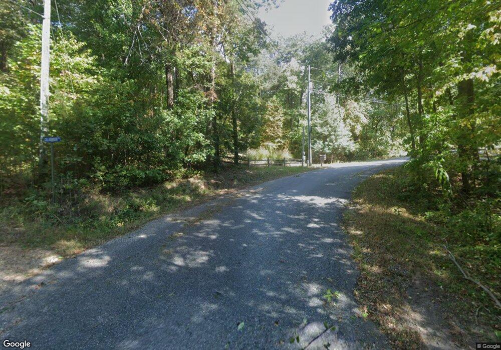
0 Collinsbrook Trail Unit 3131410 Cleveland, GA 30528
Estimated Value: $290,000 - $334,000
2
Beds
2
Baths
1,290
Sq Ft
$243/Sq Ft
Est. Value
About This Home
This home is located at 0 Collinsbrook Trail Unit 3131410, Cleveland, GA 30528 and is currently estimated at $313,117, approximately $242 per square foot. 0 Collinsbrook Trail Unit 3131410 is a home located in White County with nearby schools including Mount Yonah Elementary School, White County 9th Grade Academy, and White County Middle School.
Ownership History
Date
Name
Owned For
Owner Type
Purchase Details
Closed on
May 15, 2012
Sold by
Federal Deposit Insurance Corporation
Bought by
Warren Nancylee
Current Estimated Value
Home Financials for this Owner
Home Financials are based on the most recent Mortgage that was taken out on this home.
Original Mortgage
$70,408
Outstanding Balance
$48,609
Interest Rate
3.9%
Mortgage Type
New Conventional
Estimated Equity
$264,508
Purchase Details
Closed on
Dec 1, 2006
Sold by
Not Provided
Bought by
Fdic
Create a Home Valuation Report for This Property
The Home Valuation Report is an in-depth analysis detailing your home's value as well as a comparison with similar homes in the area
Home Values in the Area
Average Home Value in this Area
Purchase History
| Date | Buyer | Sale Price | Title Company |
|---|---|---|---|
| Warren Nancylee | $62,500 | -- | |
| Fdic | $152,500 | -- |
Source: Public Records
Mortgage History
| Date | Status | Borrower | Loan Amount |
|---|---|---|---|
| Open | Warren Nancylee | $70,408 |
Source: Public Records
Tax History Compared to Growth
Tax History
| Year | Tax Paid | Tax Assessment Tax Assessment Total Assessment is a certain percentage of the fair market value that is determined by local assessors to be the total taxable value of land and additions on the property. | Land | Improvement |
|---|---|---|---|---|
| 2025 | $1,724 | $85,788 | $9,108 | $76,680 |
| 2024 | $1,724 | $84,776 | $8,096 | $76,680 |
| 2023 | $1,240 | $74,680 | $8,096 | $66,584 |
| 2022 | $1,501 | $65,280 | $7,592 | $57,688 |
| 2021 | $1,343 | $52,104 | $5,936 | $46,168 |
| 2020 | $1,325 | $49,096 | $5,936 | $43,160 |
| 2019 | $1,330 | $49,096 | $5,936 | $43,160 |
| 2018 | $1,217 | $45,124 | $5,540 | $39,584 |
| 2017 | $1,124 | $42,192 | $5,540 | $36,652 |
| 2016 | $1,125 | $42,192 | $5,540 | $36,652 |
| 2015 | $1,073 | $105,480 | $5,540 | $36,652 |
| 2014 | $993 | $97,820 | $0 | $0 |
Source: Public Records
Map
Nearby Homes
- 25 Duncan Bridge Ct
- 0 Duncan Bridge Unit 10509840
- 0 Duncan Bridge Unit 7569175
- 86 White Pines Rd
- 807 Satterfield Rd
- 4381 Duncan Bridge Rd
- 0 Yonah View Dr
- 469 Vista View Place
- 96 Tanvor Trail
- 620 Slaton Ridge
- 9 Tanvor Trail
- 224 Magnolia Dr
- 12 Swallow Dr
- 1200 Roy Powers Rd
- 178 Rhododendron Ln
- 865 Laurel Ridge Rd
- 873 Laurel Ridge Rd
- 62 High Ridge
- 360 Sandra Ln
- LOT 17 Chalet Dr
- 0 Collinsbrook Trail Unit 8271586
- 0 Collinsbrook Trail
- 71 Duncan Bridge Trail
- 49 Duncan Bridge Trail
- 48 Collinsbrook Trail
- 88 Duncan Bridge Trail
- 99 Duncan Bridge Trail
- 84 Collinsbrook Trail Unit 8
- 65 Duncan Bridge Ct
- 83 Duncan Bridge Ct
- 0 Duncan Bridge Ct Unit L-4 7311277
- 0 Duncan Bridge Ct Unit 1 8041707
- 0 Duncan Bridge Ct Unit 1 8129047
- 0 Duncan Bridge Ct
- 0 Duncan Bridge Ct Unit 9028534
- 0 Duncan Bridge Ct Unit 8164660
- 0 Duncan Bridge Ct Unit 3063048
- 0 Duncan Bridge Ct Unit 3075868
- 0 Duncan Bridge Ct Unit 3138713
- 0 Duncan Bridge Ct Unit 3238602