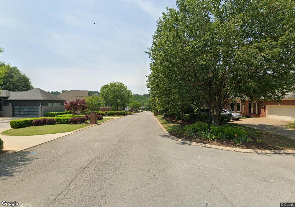
0 Council Fire Dr Unit 1247845 Ringgold, GA 30736
Beaumont NeighborhoodEstimated Value: $1,399,000 - $1,678,000
--
Bed
1
Bath
6,201
Sq Ft
$247/Sq Ft
Est. Value
About This Home
This home is located at 0 Council Fire Dr Unit 1247845, Ringgold, GA 30736 and is currently estimated at $1,532,193, approximately $247 per square foot. 0 Council Fire Dr Unit 1247845 is a home located in Catoosa County with nearby schools including Ringgold Primary School, Ringgold Elementary School, and Heritage Middle School.
Ownership History
Date
Name
Owned For
Owner Type
Purchase Details
Closed on
Jul 29, 2019
Sold by
Bhagat Bhupendra
Bought by
Dream Residence Llc
Current Estimated Value
Purchase Details
Closed on
Aug 10, 2018
Sold by
Scharder Roy Herman
Bought by
Bhagat Bhupendra and Bhagat Anita
Purchase Details
Closed on
Nov 9, 2017
Sold by
Schrader Dorothy
Bought by
Scharder Roy Herman Trustee
Purchase Details
Closed on
Nov 12, 1992
Sold by
Council Fire L P
Bought by
Schrader Dorothy
Purchase Details
Closed on
Aug 24, 1990
Bought by
Council Fire L P
Create a Home Valuation Report for This Property
The Home Valuation Report is an in-depth analysis detailing your home's value as well as a comparison with similar homes in the area
Home Values in the Area
Average Home Value in this Area
Purchase History
| Date | Buyer | Sale Price | Title Company |
|---|---|---|---|
| Dream Residence Llc | -- | -- | |
| Bhagat Bhupendra | $64,900 | -- | |
| Scharder Roy Herman Trustee | -- | -- | |
| Schrader Dorothy | $61,900 | -- | |
| Council Fire L P | -- | -- |
Source: Public Records
Tax History Compared to Growth
Tax History
| Year | Tax Paid | Tax Assessment Tax Assessment Total Assessment is a certain percentage of the fair market value that is determined by local assessors to be the total taxable value of land and additions on the property. | Land | Improvement |
|---|---|---|---|---|
| 2024 | $11,104 | $520,665 | $40,000 | $480,665 |
| 2023 | $11,562 | $516,436 | $41,634 | $474,802 |
| 2022 | $9,031 | $403,380 | $41,634 | $361,746 |
| 2021 | $8,440 | $403,380 | $41,634 | $361,746 |
| 2020 | $1,029 | $44,458 | $44,458 | $0 |
| 2019 | $607 | $44,458 | $44,458 | $0 |
| 2018 | $1,098 | $44,458 | $44,458 | $0 |
| 2017 | $1,001 | $40,506 | $40,506 | $0 |
| 2016 | $1,053 | $40,506 | $40,506 | $0 |
| 2015 | -- | $40,506 | $40,506 | $0 |
| 2014 | -- | $40,506 | $40,506 | $0 |
| 2013 | -- | $40,506 | $40,506 | $0 |
Source: Public Records
Map
Nearby Homes
- 383 Red Tail Dr
- 359 Red Tail Dr
- 0 Hwy 151 Unit 10530956
- 0 Hwy 151 Unit 1512839
- 0 Etowah Unit 129188
- 0 Etowah Unit 7323783
- 0 Battlefield Pkwy Unit 1521890
- 0 Keith Rd Unit 1511399
- 95 Night Shade Ln
- 478 Dedmon Rd
- 8690 Alabama Hwy
- 555 Dedmon Rd
- 56 Ginger Dr
- 45 Asheville Dr
- 0 Alabama Hwy Unit 10586300
- 0 Alabama Hwy Unit 1518818
- 477 Hulsey Dr
- 00 Houston Valley Rd
- 59 Willowbrook Dr
- 0 Greenwood Rd Unit RTC3013946
- 0 Etowah Unit 1511499
- 0 Etowah Unit 1505457
- 0 Overlook Dr Unit RTC2775568
- 0 Overlook Dr Unit 1505323
- 0 Cross Creek Dr Unit 1212709
- 0 Blue Heron Dr Unit 1145698
- 0 Shamrock Dr Unit 1024877
- 3 Joe Dr
- 142 Larkspur Dr
- 55 Songbird Dr
- 10 Denmoore Dr
- 5 Tara Dr
- 25 Boxer Ln
- 35 Cascade Ln
- 2078 Nellie Head Rd
- 290 Alabama Hwy
- 403 Mt Pisgah Rd
- 5 Camp Canaan Rd
- 8 Betty St
- 0 Old World Dr Unit 1350100
