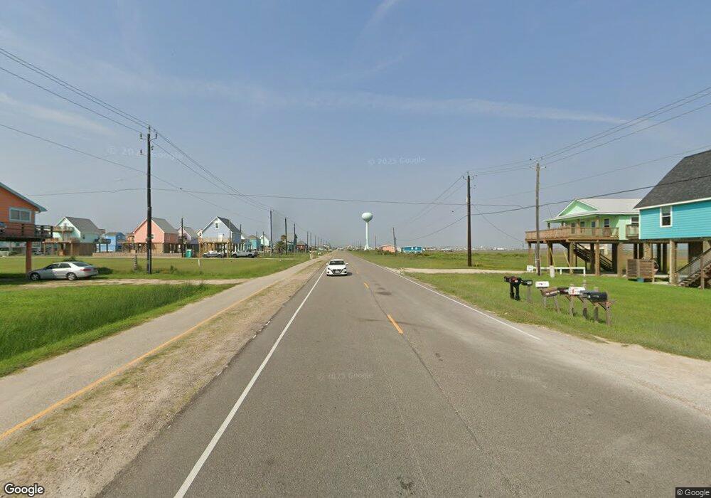
0 County Road 257 On Beach Unit 35085774 Surfside Beach, TX 77541
Estimated Value: $510,000 - $604,000
--
Bed
--
Bath
--
Sq Ft
2.5
Acres
About This Home
This home is located at 0 County Road 257 On Beach Unit 35085774, Surfside Beach, TX 77541 and is currently estimated at $557,000. 0 County Road 257 On Beach Unit 35085774 is a home located in Brazoria County with nearby schools including O'Hara Lanier Middle School, Freeport Intermediate School, and Brazosport High School.
Ownership History
Date
Name
Owned For
Owner Type
Purchase Details
Closed on
Nov 17, 2010
Sold by
Cudd Mary Peter
Bought by
Wiseman Rodney C
Current Estimated Value
Home Financials for this Owner
Home Financials are based on the most recent Mortgage that was taken out on this home.
Original Mortgage
$80,000
Outstanding Balance
$52,675
Interest Rate
4.23%
Mortgage Type
Purchase Money Mortgage
Estimated Equity
$504,325
Purchase Details
Closed on
Apr 30, 2007
Sold by
Smith George E and Lorrain Smith M
Bought by
Stautberg Aubrey T and Tolbert Ann Lee Stautberg
Create a Home Valuation Report for This Property
The Home Valuation Report is an in-depth analysis detailing your home's value as well as a comparison with similar homes in the area
Home Values in the Area
Average Home Value in this Area
Purchase History
| Date | Buyer | Sale Price | Title Company |
|---|---|---|---|
| Wiseman Rodney C | -- | Great American Title | |
| Stautberg Aubrey T | -- | None Available |
Source: Public Records
Mortgage History
| Date | Status | Borrower | Loan Amount |
|---|---|---|---|
| Open | Wiseman Rodney C | $80,000 |
Source: Public Records
Tax History Compared to Growth
Tax History
| Year | Tax Paid | Tax Assessment Tax Assessment Total Assessment is a certain percentage of the fair market value that is determined by local assessors to be the total taxable value of land and additions on the property. | Land | Improvement |
|---|---|---|---|---|
| 2025 | $5,314 | $535,600 | $535,600 | -- |
| 2023 | $5,314 | $236,350 | $236,350 | $0 |
| 2022 | $3,908 | $177,290 | $177,290 | $0 |
| 2021 | $3,640 | $156,600 | $156,600 | $0 |
| 2020 | $3,482 | $146,350 | $146,350 | $0 |
| 2019 | $3,778 | $153,240 | $153,240 | $0 |
| 2018 | $3,242 | $130,550 | $130,550 | $0 |
| 2017 | $4,332 | $174,040 | $174,040 | $0 |
| 2016 | $3,249 | $130,550 | $130,550 | $0 |
| 2014 | $2,475 | $96,100 | $96,100 | $0 |
Source: Public Records
Map
Nearby Homes
- 106 Yucca Ave
- 111 Yucca Ave
- 107 Yucca Ave
- 106 Coconut Rd
- 30 Yucca Ave
- 0 Beachcomber Ave
- 130 Beachcomber Ave
- 227 Detenbeck Ave
- 211 Ocean Dr
- 000 Bluewater Hwy
- 000 Ocean Dr
- 101 Pelican Place Unit 7
- 115 Southwind Dr
- 1627 Bluewater Hwy
- 103 Southwind Dr
- 1743 Blue Water Hwy
- 1635 Sandpebble Place
- 984 Blue Water Hwy
- 203 Sea Oats Dr
- 0 Bluewater Hwy Unit 23110
- 1410 Blue Water Hwy
- 126 Yucca Ave
- 118 Yucca Ave
- 1410 Bluewater Hwy
- 134 Yucca Ave
- 114 Yucca Ave
- 115 Coconut Rd
- 106 Yucca Ave
- L2 Bluewater Hwy
- 110 Coconut Rd
- 106-114 Yucca
- 138 Yucca Ave
- 127 Yucca Ave
- 131 Yucca Ave
- 123 Yucca Ave
- 111 Coconut Rd
- 115 Yucca Ave
- 1422 Blue Water Hwy
- 1422 Bluewater Hwy
- 1306 Blue Water Hwy
