0 Currahee Pt Cir E Unit LOT 9 7146027 Toccoa, GA 30577
Estimated Value: $369,000 - $684,000
1
Bed
1
Bath
1,024
Sq Ft
$529/Sq Ft
Est. Value
About This Home
This home is located at 0 Currahee Pt Cir E Unit LOT 9 7146027, Toccoa, GA 30577 and is currently estimated at $541,487, approximately $528 per square foot. 0 Currahee Pt Cir E Unit LOT 9 7146027 is a home located in Stephens County with nearby schools including Stephens County High School.
Ownership History
Date
Name
Owned For
Owner Type
Purchase Details
Closed on
Oct 15, 2013
Sold by
Harris Jeanette R
Bought by
Caudell Kimberly B
Current Estimated Value
Home Financials for this Owner
Home Financials are based on the most recent Mortgage that was taken out on this home.
Original Mortgage
$155,000
Interest Rate
4.52%
Mortgage Type
New Conventional
Purchase Details
Closed on
Jan 25, 2008
Sold by
Not Provided
Bought by
Harris Jeanette R
Purchase Details
Closed on
Jan 26, 2007
Sold by
Harris Jack A
Bought by
Harris Jack A
Purchase Details
Closed on
Aug 1, 1998
Bought by
<Buyer Info Not Present>
Create a Home Valuation Report for This Property
The Home Valuation Report is an in-depth analysis detailing your home's value as well as a comparison with similar homes in the area
Home Values in the Area
Average Home Value in this Area
Purchase History
| Date | Buyer | Sale Price | Title Company |
|---|---|---|---|
| Caudell Kimberly B | $155,000 | -- | |
| Harris Jeanette R | -- | -- | |
| Harris Jack A | -- | -- | |
| <Buyer Info Not Present> | $92,500 | -- |
Source: Public Records
Mortgage History
| Date | Status | Borrower | Loan Amount |
|---|---|---|---|
| Closed | Caudell Kimberly B | $155,000 |
Source: Public Records
Tax History Compared to Growth
Tax History
| Year | Tax Paid | Tax Assessment Tax Assessment Total Assessment is a certain percentage of the fair market value that is determined by local assessors to be the total taxable value of land and additions on the property. | Land | Improvement |
|---|---|---|---|---|
| 2025 | $4,322 | $157,441 | $70,987 | $86,454 |
| 2024 | $4,040 | $132,671 | $70,987 | $61,684 |
| 2023 | $3,525 | $118,412 | $70,987 | $47,425 |
| 2022 | $3,470 | $116,564 | $70,987 | $45,577 |
| 2021 | $3,575 | $114,331 | $70,987 | $43,344 |
| 2020 | $3,060 | $96,903 | $70,987 | $25,916 |
| 2019 | $2,393 | $75,476 | $71,063 | $4,413 |
| 2018 | $2,393 | $75,476 | $71,063 | $4,413 |
| 2017 | $2,431 | $75,476 | $71,063 | $4,413 |
| 2016 | $2,519 | $79,425 | $71,063 | $8,362 |
| 2015 | $2,638 | $79,425 | $71,063 | $8,362 |
| 2014 | $2,093 | $79,809 | $71,446 | $8,362 |
| 2013 | -- | $79,808 | $71,446 | $8,362 |
Source: Public Records
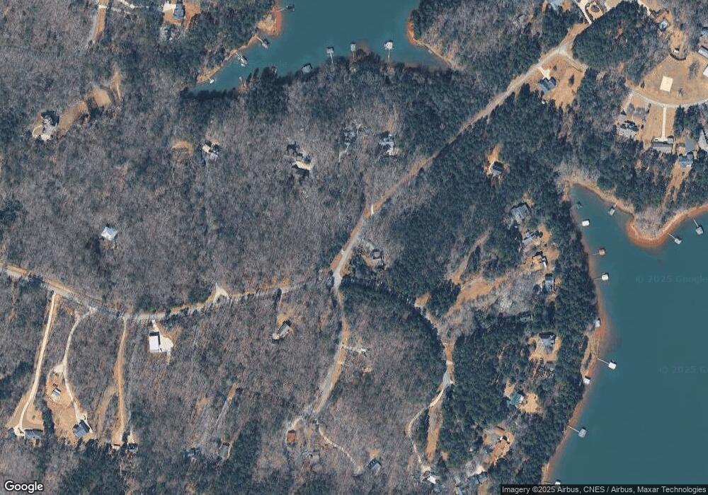
Map
Nearby Homes
- 49 Currahee Point
- 287 Spring Branch Cir
- 604 Mckinney Way
- 455 Chase Landing Rd
- Lot 34 Stillwater Place
- 3 Lost Forest Dr
- 0 Oliver Rd Unit 20284767
- 0 Oliver Rd Unit 1550308
- 02 Wood Valley Dr
- Lot 6 Lost Forest Dr
- 9B Lost Forest Dr
- 0 Lost Forest Dr
- 0 Wildwood Trail
- 223 Brookside Dr
- 004 Brookside Dr Unit 10A
- Lot 9 Block A Brookside Dr
- 1 Brookside Dr
- LOT 8B Wildwood Trail
- 0 Springview Dr Unit 22886896
- 0 Springview Dr Unit 21515079
- 371 Currahee Point
- 411 Currahee Point
- 369 Currahee Point
- 419 Currahee Point
- 142 Currahee Point
- 337 Currahee Point
- 364 Currahee Point
- 431 Currahee Point
- 317 Currahee Point
- 472 Currahee Point
- 453 Currahee Point
- 299 Currahee Point
- 604 Currahee Point
- 540 Currahee Point
- 572 Currahee Point
- 18B Circle E
- 269 Currahee Point
- 669 Currahee Point
- 651 Currahee Point
- 687 Currahee Point