
Seller's Agent in 2023
Raven Cramer
Key Realty
(419) 746-0777
45 in this area
214 Total Sales
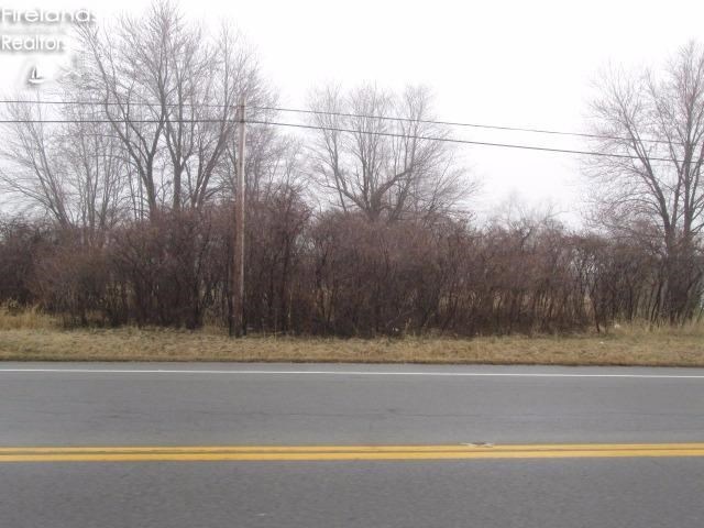
Over 7 acres of property near intersection of E. Harbor Road and Rt. 269. Second parcel number is 0141164115578009
Last Agent to Sell the Property
Mike Myers Realty, Inc. License #2007004020 Listed on: 04/07/2015
Co-Listed By
Default zSystem
zSystem Default
| Date | Event | Price | Change | Sq Ft Price |
|---|---|---|---|---|
| 05/09/2023 05/09/23 | Sold | $1,399,000 | +179.9% | -- |
| 05/09/2023 05/09/23 | Pending | -- | -- | -- |
| 04/20/2023 04/20/23 | For Sale | $499,900 | -64.3% | -- |
| 07/19/2021 07/19/21 | For Sale | $1,399,000 | +2443.6% | -- |
| 08/24/2015 08/24/15 | Sold | $55,000 | -11.3% | -- |
| 08/24/2015 08/24/15 | Pending | -- | -- | -- |
| 04/07/2015 04/07/15 | For Sale | $62,000 | -- | -- |
Seller's Agent in 2023
Raven Cramer
Key Realty
(419) 746-0777
45 in this area
214 Total Sales
Seller's Agent in 2023
Kula Lynch
Hoty Enterprises, Inc.
(419) 656-4047
1 in this area
20 Total Sales
D
Seller Co-Listing Agent in 2023
Default zSystem
zSystem Default
Buyer's Agent in 2023
John Hoty
Hoty Enterprises, Inc.
(419) 502-2915
2 in this area
61 Total Sales
S
Seller's Agent in 2015
Scott Myers
Mike Myers Realty, Inc.
(419) 706-2197
106 Total Sales
Buyer's Agent in 2015
Diana Johnson
Key Realty
(419) 707-1156
5 in this area
50 Total Sales
Source: Firelands Association of REALTORS®
MLS Number: 20151730