0 Eagles Nest Way Unit 1433297 Harpswell, ME 04079
Harpswell Neck Neighborhood
--
Bed
--
Bath
--
Sq Ft
4.21
Acres
About This Home
This home is located at 0 Eagles Nest Way Unit 1433297, Harpswell, ME 04079. 0 Eagles Nest Way Unit 1433297 is a home located in Cumberland County with nearby schools including Mt Ararat High School.
Create a Home Valuation Report for This Property
The Home Valuation Report is an in-depth analysis detailing your home's value as well as a comparison with similar homes in the area
Home Values in the Area
Average Home Value in this Area
Tax History Compared to Growth
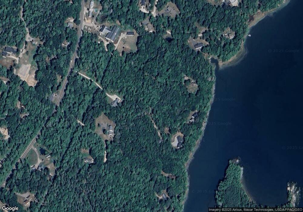
Map
Nearby Homes
- 270 Harpswell Neck Rd
- 242 Long Reach Ln
- Map 80 Lot 18-0 White Island
- 0 Gundalo Gap Rd Unit 1638108
- 37 & 38 S Dyers Cove Rd
- 853 Mere Point Rd
- 11 Orion Point Way
- 646 Gurnet Rd
- 46 Blackstone Club Rd
- 29 & 30 Nob Hill Ave
- 250 Mere Point Rd
- 6 Chebeague Ln
- 260 Coombs Rd
- 49 Gleed Dr
- Lot 129 Harpswell Neck Rd
- 6 Melden Dr
- 0 Melden Dr
- 136 Bethel Point Rd
- 83 Central Ave
- 10 Betina Ln
- 0 Eagles Nest Way Unit 1445687
- 0 Harpswell Neck (Eagle's Nest) Rd Unit 1405167
- 0001 Harpswell Neck Rd
- 000 Harpswell Neck Rd
- 15 Dragonfly Ln
- 276 Harpswell Neck Rd
- 0 Harpswell Neck Rd Unit 1615782
- 0 Harpswell Neck Rd Unit 817415
- 0 Harpswell Neck Rd Unit 784203
- 0 Harpswell Neck Rd Unit 1555130
- 0 Harpswell Neck Rd Unit 709989
- 0 Harpswell Neck Rd Unit 657675
- 0 Harpswell Neck Rd Unit 778986
- 0 Harpswell Neck Rd Unit 551627
- 0 Harpswell Neck Rd Unit 492577
- 0 Harpswell Neck Rd Unit 1000037
- 0 Harpswell Neck Rd Unit 1067750
- 0 Harpswell Neck Rd Unit 1111392
- 0 Harpswell Neck Rd Unit 1312211
- 0 Harpswell Neck Rd Unit 1410055