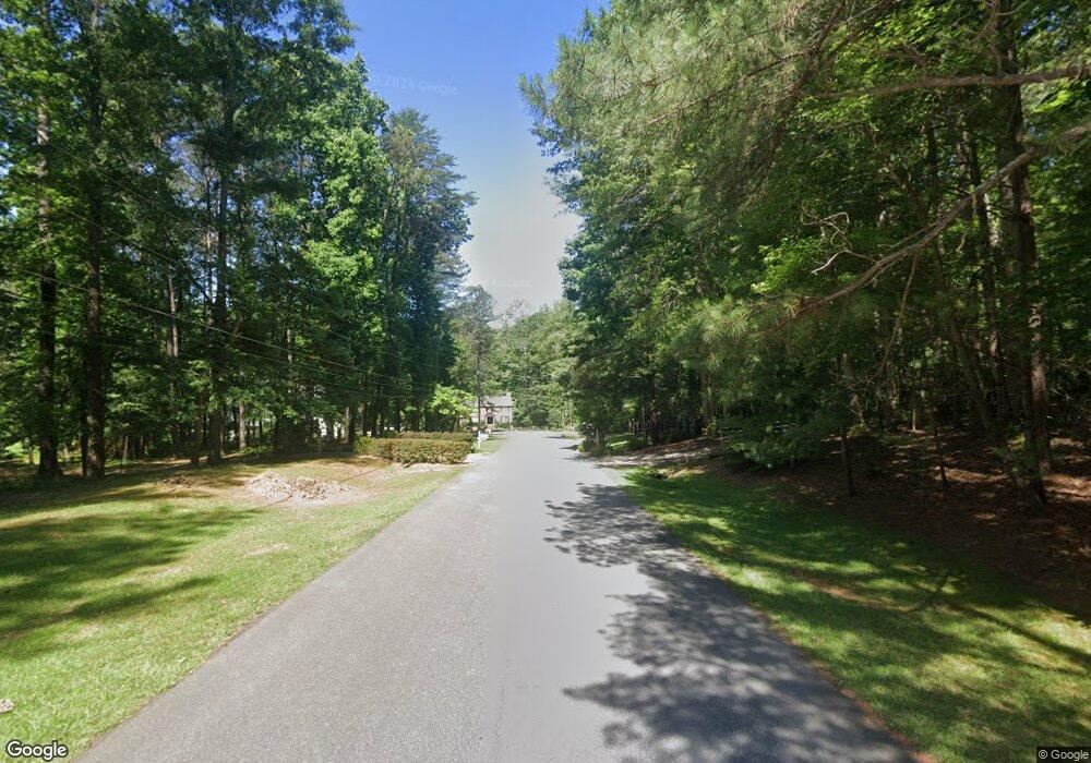
0 Eubanks Ct Unit LOT 15 7204811 Woodstock, GA 30188
Union Hill NeighborhoodEstimated Value: $784,000 - $1,330,000
4
Beds
4
Baths
5,462
Sq Ft
$191/Sq Ft
Est. Value
About This Home
This home is located at 0 Eubanks Ct Unit LOT 15 7204811, Woodstock, GA 30188 and is currently estimated at $1,041,747, approximately $190 per square foot. 0 Eubanks Ct Unit LOT 15 7204811 is a home located in Cherokee County with nearby schools including Arnold Mill Elementary School, Mill Creek Middle School, and River Ridge High School.
Ownership History
Date
Name
Owned For
Owner Type
Purchase Details
Closed on
Aug 7, 2017
Sold by
Buchanan Elaina C
Bought by
Maivel Thomas
Current Estimated Value
Home Financials for this Owner
Home Financials are based on the most recent Mortgage that was taken out on this home.
Original Mortgage
$130,687
Interest Rate
3.96%
Mortgage Type
New Conventional
Create a Home Valuation Report for This Property
The Home Valuation Report is an in-depth analysis detailing your home's value as well as a comparison with similar homes in the area
Home Values in the Area
Average Home Value in this Area
Purchase History
| Date | Buyer | Sale Price | Title Company |
|---|---|---|---|
| Maivel Thomas | $153,750 | -- |
Source: Public Records
Mortgage History
| Date | Status | Borrower | Loan Amount |
|---|---|---|---|
| Closed | Maivel Thomas | $130,687 |
Source: Public Records
Tax History Compared to Growth
Tax History
| Year | Tax Paid | Tax Assessment Tax Assessment Total Assessment is a certain percentage of the fair market value that is determined by local assessors to be the total taxable value of land and additions on the property. | Land | Improvement |
|---|---|---|---|---|
| 2024 | $10,691 | $413,600 | $38,160 | $375,440 |
| 2023 | $8,710 | $333,600 | $45,037 | $288,563 |
| 2022 | $8,710 | $333,600 | $45,037 | $288,563 |
| 2021 | $11,811 | $416,040 | $54,520 | $361,520 |
| 2020 | $1,549 | $54,520 | $54,520 | $0 |
| 2019 | $1,441 | $50,720 | $50,720 | $0 |
| 2018 | $1,450 | $50,720 | $50,720 | $0 |
| 2017 | $1,096 | $95,100 | $38,040 | $0 |
| 2016 | $1,107 | $95,100 | $38,040 | $0 |
| 2015 | $1,118 | $95,100 | $38,040 | $0 |
| 2014 | $1,121 | $95,100 | $38,040 | $0 |
Source: Public Records
Map
Nearby Homes
- 112 River Marsh Ln
- 102 River Marsh Ln
- 1038 River Plantation Dr
- 5090 Eubanks Rd
- 516 E Cherokee Ct
- 120 Farm Gate Dr
- 907 Andover Ct
- 120 Sweetbriar Farm Rd
- 217 Sweetbriar Club Dr
- 427 Silver Brook Dr
- 436 Silver Brook Dr
- 132 Little Brook Dr
- 401 Trotters Run Unit 2
- 112 Sunnybrook Ln
- 114 Thornwood Dr
- 2875 Trickum Rd
- 1350 Hendon Rd
- 0 Eubanks Ct Unit LOT 15 7260928
- 0 Eubanks Ct Unit 8154692
- 0 Eubanks Ct Unit 8843357
- 0 Eubanks Ct Unit 8179825
- 0 Eubanks Ct Unit 8289618
- 111 Eubanks Ct
- 138 River Marsh Ln
- 134 River Marsh Ln
- 107 Eubanks Ct
- 136 River Marsh Ln
- 1049 Knoxboro Ln
- 1045 Knoxboro Ln
- 1041 Knoxboro Ln
- 1061 Knoxboro Ln
- 1032 Knoxboro Ln
- 1112 Knoxboro Ln
- 1016 Knoxboro Ln
- 1012 Knoxboro Ln
- 1057 Knoxboro Ln
- 1004 Knoxboro Ln
