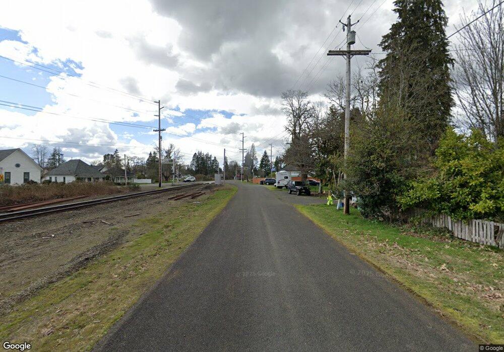
0 Foss Ave Unit 373493 Satsop, WA 98583
Satsop NeighborhoodEstimated Value: $382,000 - $487,623
3
Beds
--
Bath
1,716
Sq Ft
$243/Sq Ft
Est. Value
About This Home
This home is located at 0 Foss Ave Unit 373493, Satsop, WA 98583 and is currently estimated at $417,208, approximately $243 per square foot. 0 Foss Ave Unit 373493 is a home located in Grays Harbor County with nearby schools including Satsop Elementary School.
Ownership History
Date
Name
Owned For
Owner Type
Purchase Details
Closed on
Sep 30, 2016
Sold by
Valentine Rex B and Valentine Diane E
Bought by
Mcmanus Brendan and Mcmanus Rita
Current Estimated Value
Purchase Details
Closed on
Feb 6, 2009
Sold by
Sweet Cary
Bought by
Valentine Rex and Valentine Diane
Purchase Details
Closed on
May 23, 2005
Sold by
Metcalfe Joe L
Bought by
Sweet Cary R
Home Financials for this Owner
Home Financials are based on the most recent Mortgage that was taken out on this home.
Original Mortgage
$48,000
Interest Rate
5.74%
Mortgage Type
Purchase Money Mortgage
Create a Home Valuation Report for This Property
The Home Valuation Report is an in-depth analysis detailing your home's value as well as a comparison with similar homes in the area
Home Values in the Area
Average Home Value in this Area
Purchase History
| Date | Buyer | Sale Price | Title Company |
|---|---|---|---|
| Mcmanus Brendan | $200,000 | None Available | |
| Valentine Rex | $76,801 | None Available | |
| Sweet Cary R | -- | None Available |
Source: Public Records
Mortgage History
| Date | Status | Borrower | Loan Amount |
|---|---|---|---|
| Previous Owner | Sweet Cary R | $48,000 |
Source: Public Records
Tax History Compared to Growth
Tax History
| Year | Tax Paid | Tax Assessment Tax Assessment Total Assessment is a certain percentage of the fair market value that is determined by local assessors to be the total taxable value of land and additions on the property. | Land | Improvement |
|---|---|---|---|---|
| 2025 | $2,567 | $305,526 | $178,175 | $127,351 |
| 2023 | $1,483 | $180,990 | $180,990 | $0 |
| 2022 | $1,185 | $120,660 | $120,660 | $0 |
| 2021 | $1,314 | $120,660 | $120,660 | $0 |
| 2020 | $1,344 | $120,660 | $120,660 | $0 |
| 2019 | $1,358 | $120,660 | $120,660 | $0 |
| 2018 | $1,159 | $120,660 | $120,660 | $0 |
| 2017 | $1,077 | $94,651 | $94,651 | $0 |
| 2016 | $1,049 | $94,651 | $94,651 | $0 |
| 2014 | -- | $94,651 | $94,651 | $0 |
| 2013 | -- | $90,144 | $90,144 | $0 |
Source: Public Records
Map
Nearby Homes
- 33 Hurd Rd
- 24 Hurd Rd
- 36 Landberg Ln
- 573 Monte Elma Rd
- 571 Monte Elma Rd
- 20 Barrett Rd N
- 1190 Monte Elma Rd
- 13 Barrett Rd W
- 10 Fawn Ln
- 36 Blacktail Ridge Ln
- 12 W Hobble Creek
- 8 W Hobble Creek
- 302 W Martin St
- 17 Dry Creek Ct
- 1716 W Young St
- 107 Cascade Ct
- 335 Middle Satsop Rd
- 1515 W Waldrip St
- 1509 W Waldrip St
- 408 N 11th St
- 869 Monte Elma Rd
- 302 Foss Ave W
- 863 Monte Elma Rd
- 435 W Aberdeen Ave
- 868 Monte Elma Rd
- 857 Monte Elma Rd
- 11 Moore Rd W
- 393 W Aberdeen Ave
- 111 S Fourth St
- 816 Monte Elma Rd
- 850 Monte Elma Rd
- 113 S Fourth St
- 239 N Hewitt St
- 605 615 Market W
- 201 S 4th
- 843 Monte Elma Rd
- 488 W Foss Ave W
- 240 Hewitt St
- 846 Monte Elma Rd
- 833 Monte Elma Rd
