Estimated Value: $590,000 - $762,000
3
Beds
3
Baths
1,532
Sq Ft
$434/Sq Ft
Est. Value
About This Home
This home is located at 0 Gentry Ct Unit 970518, Kelso, WA 98626 and is currently estimated at $665,159, approximately $434 per square foot. 0 Gentry Ct Unit 970518 is a home located in Cowlitz County with nearby schools including Rose Valley Elementary School, Coweeman Middle School, and Kelso High School.
Ownership History
Date
Name
Owned For
Owner Type
Purchase Details
Closed on
Oct 31, 2019
Sold by
White James W and White Lisa D
Bought by
Tow Guy E and Tow Samantha J
Current Estimated Value
Home Financials for this Owner
Home Financials are based on the most recent Mortgage that was taken out on this home.
Original Mortgage
$436,000
Outstanding Balance
$383,949
Interest Rate
3.65%
Mortgage Type
New Conventional
Estimated Equity
$281,210
Purchase Details
Closed on
Jan 9, 2018
Sold by
Drohman Robert R and Drohman Rita M
Bought by
White James W and White Lisa D
Home Financials for this Owner
Home Financials are based on the most recent Mortgage that was taken out on this home.
Original Mortgage
$416,000
Interest Rate
3.93%
Mortgage Type
Unknown
Create a Home Valuation Report for This Property
The Home Valuation Report is an in-depth analysis detailing your home's value as well as a comparison with similar homes in the area
Home Values in the Area
Average Home Value in this Area
Purchase History
| Date | Buyer | Sale Price | Title Company |
|---|---|---|---|
| Tow Guy E | $486,000 | Stewart Title Co | |
| Tow Guy E | $486,000 | Stewart Title Co | |
| White James W | $120,000 | Cowlitz Title |
Source: Public Records
Mortgage History
| Date | Status | Borrower | Loan Amount |
|---|---|---|---|
| Open | Tow Guy E | $436,000 | |
| Closed | Tow Guy E | $436,000 | |
| Previous Owner | White James W | $416,000 |
Source: Public Records
Tax History Compared to Growth
Tax History
| Year | Tax Paid | Tax Assessment Tax Assessment Total Assessment is a certain percentage of the fair market value that is determined by local assessors to be the total taxable value of land and additions on the property. | Land | Improvement |
|---|---|---|---|---|
| 2024 | $5,811 | $576,030 | $84,000 | $492,030 |
| 2023 | $5,601 | $566,330 | $84,000 | $482,330 |
| 2022 | $4,136 | $615,150 | $80,000 | $535,150 |
| 2021 | $3,562 | $379,460 | $70,790 | $308,670 |
| 2020 | $2,911 | $302,530 | $29,800 | $272,730 |
| 2019 | $325 | $248,400 | $28,384 | $220,016 |
| 2018 | $3,069 | $27,700 | $27,700 | $0 |
| 2017 | $25 | $600 | $600 | $0 |
| 2016 | $25 | $580 | $580 | $0 |
| 2015 | $25 | $550 | $550 | $0 |
| 2013 | -- | $540 | $540 | $0 |
Source: Public Records
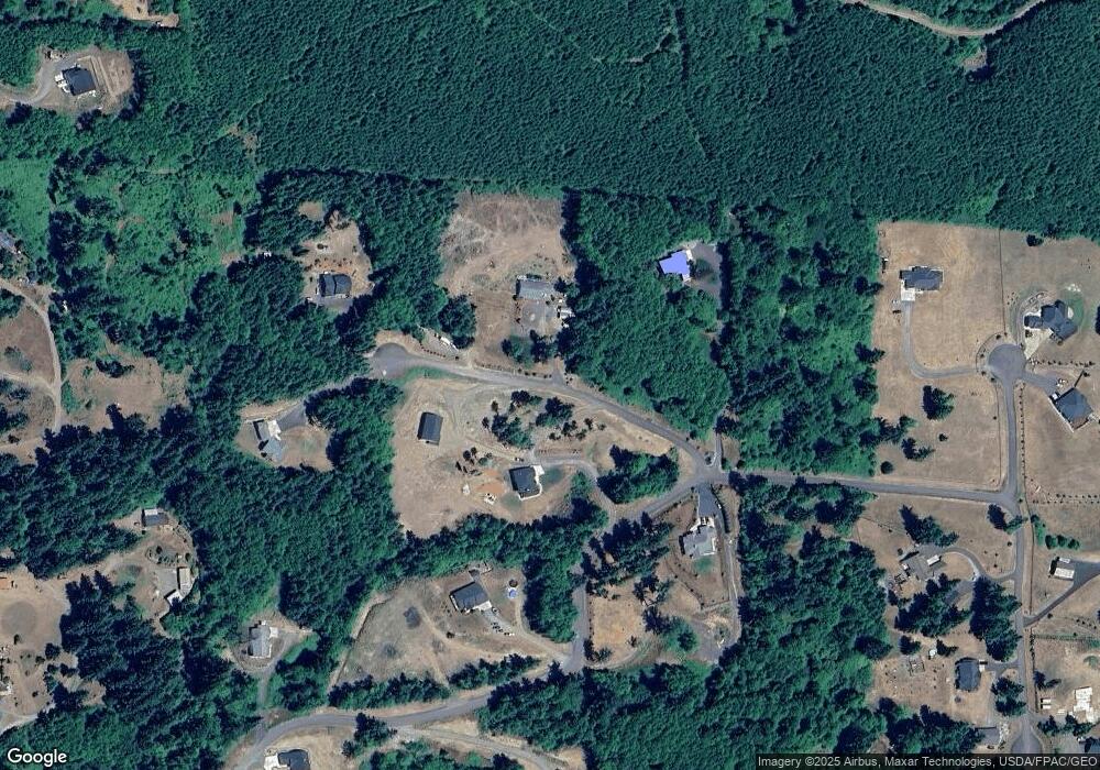
Map
Nearby Homes
- 143 Bootjack Ln Unit Lot 2
- 143 Bootjack Ln Unit Lot 1
- 377 Bighorn Dr
- 136 Peppermill Rd
- 156 Peppermill Rd
- 116 Noreen Ln
- 253 S Goble Creek Rd
- 220 Wagner Rd
- 327 N Goble Creek Rd
- 510 Remington Dr
- 409 Cunningham Rd
- 0 XX Mount Pleasant Rd
- 00 Spreadborough Rd
- 147 Broken Mountain Dr
- 220 Hanson Rd
- 306 Cornwell Rd
- 373 Fishpond Rd
- 140 Owl Creek Ct
- 1482 Mountain View Rd
- 810 Kool Rd
- 0 Gentry Ct Unit 16534424
- 1720 Bodine Rd
- 1724 Bodine Rd
- 1720 Bodine Extension Rd
- 210 Gentry Ct
- 1 Bodine Ext Rd
- 1724 Bodine Extension Rd
- 1705 Bodine Rd
- 209 Gentry Ct
- 209 Gentry Ct Unit Lot11
- 209 Gentry Ct Unit Lot10
- 209 Gentry Ct Unit Lot12
- 1604 Bodine Rd
- 1 Gentry Ct
- 1717 Bodine Rd
- 187 Gentry Ct
- 1727 Bodine Extension Rd
- 107 Gentry Ct
- 511 Ravenwood Rd
- 510 Ravenwood Rd