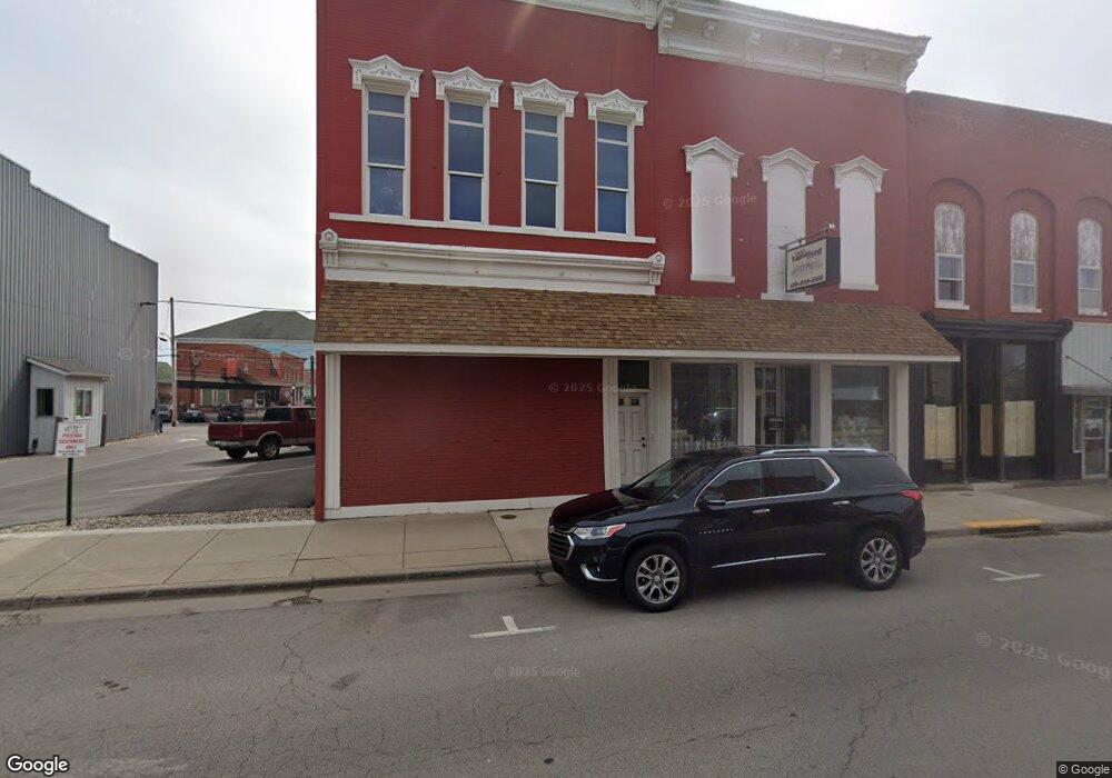
0 Groveport Pi Rd Columbus Grove, OH 45830
Obetz-Lockbourne NeighborhoodEstimated Value: $82,000 - $169,000
--
Bed
--
Bath
--
Sq Ft
--
Built
About This Home
This home is located at 0 Groveport Pi Rd, Columbus Grove, OH 45830 and is currently estimated at $125,500. 0 Groveport Pi Rd is a home with nearby schools including Watkins Elementary School, Buckeye Middle School, and Marion-Franklin High School.
Ownership History
Date
Name
Owned For
Owner Type
Purchase Details
Closed on
Dec 27, 2024
Sold by
Taghavi Neda
Bought by
2233 Groveport Llc
Current Estimated Value
Purchase Details
Closed on
Jul 27, 2018
Sold by
Groveport Propety Group Llc
Bought by
Taghavi Neda
Purchase Details
Closed on
Sep 8, 2010
Sold by
Hedges Lloyd Jd and Hedges Lloyd
Bought by
Groveport Property Group Llc
Purchase Details
Closed on
Jun 4, 2007
Sold by
Ash Estella M and Ash Harold
Bought by
Hedges Lloyd
Purchase Details
Closed on
Dec 5, 1994
Sold by
Shrf Annie Sutton Pr
Bought by
Home National Bank Of Arkansas
Create a Home Valuation Report for This Property
The Home Valuation Report is an in-depth analysis detailing your home's value as well as a comparison with similar homes in the area
Home Values in the Area
Average Home Value in this Area
Purchase History
| Date | Buyer | Sale Price | Title Company |
|---|---|---|---|
| 2233 Groveport Llc | -- | None Listed On Document | |
| Taghavi Neda | $70,000 | Preferred Title | |
| Groveport Property Group Llc | -- | None Available | |
| Hedges Lloyd | -- | None Available | |
| Home National Bank Of Arkansas | $20,000 | -- |
Source: Public Records
Tax History Compared to Growth
Tax History
| Year | Tax Paid | Tax Assessment Tax Assessment Total Assessment is a certain percentage of the fair market value that is determined by local assessors to be the total taxable value of land and additions on the property. | Land | Improvement |
|---|---|---|---|---|
| 2024 | $454 | $9,910 | $9,910 | -- |
| 2023 | $448 | $9,905 | $9,905 | $0 |
| 2022 | $136 | $2,560 | $2,560 | $0 |
| 2021 | $136 | $2,560 | $2,560 | $0 |
| 2020 | $137 | $2,560 | $2,560 | $0 |
| 2019 | $139 | $2,240 | $2,240 | $0 |
| 2018 | $70 | $2,240 | $2,240 | $0 |
| 2017 | $139 | $2,240 | $2,240 | $0 |
| 2016 | $88 | $1,300 | $1,300 | $0 |
| 2015 | $40 | $1,300 | $1,300 | $0 |
| 2014 | $81 | $1,300 | $1,300 | $0 |
| 2013 | $42 | $1,365 | $1,365 | $0 |
Source: Public Records
Map
Nearby Homes
- 534 Stambaugh Ave
- 574 Koebel Ave
- 485 Stambaugh Ave
- 611 Lock Ave
- 308 Hosack St
- 319 E Barthman Ave
- 268 Hinkle Ave
- 168 Benfield Ave
- 259 Hinkle Ave
- 238 E Barthman Ave
- 868 Lawndale Ave
- 229 Southard Dr
- 82 Delray Rd
- 1808 S 6th St Unit 810
- 393 E Woodrow Ave
- 195-197 E Innis Ave
- 457 E Woodrow Ave Unit 459
- 1756 Bruck St
- 306 E Woodrow Ave
- 69 E Woodrow Ave
- 2233 Groveport Rd
- 2257 Groveport Rd
- 0 Cochrane Ave
- 2228 Groveport Rd Unit 230
- 2216 Groveport Rd
- 2250 Parsons Ave
- 2202 Groveport Rd
- 2252 Parsons Ave
- 2198 Groveport Pike
- 2287 Groveport Rd
- 353 Stambaugh Ave
- 2198 Groveport Rd
- 2194 Groveport Rd
- 2225 Curtis St
- 2231 Curtis St
- 453 Stambaugh Ave Unit 455
- 2219 Curtis St
- 457 Stambaugh Ave
- 469 Stambaugh Ave
- 444 Stambaugh Ave
