--
Bed
--
Bath
--
Sq Ft
781.74
Acres
About This Home
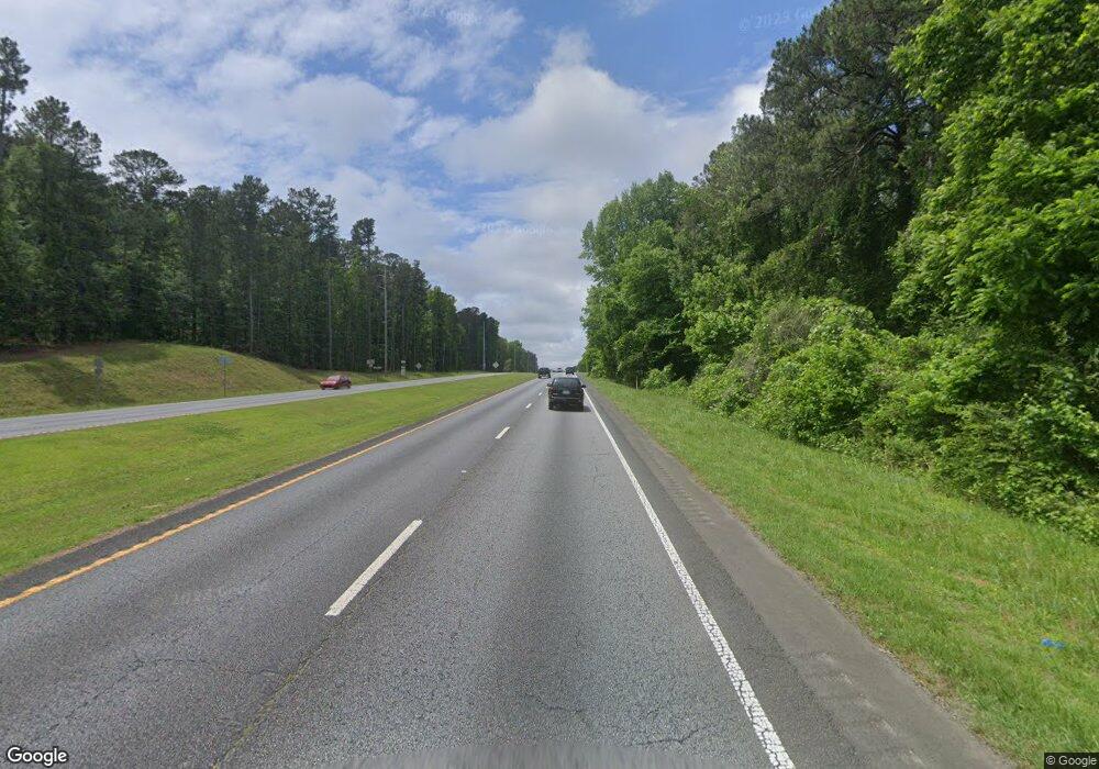
This home is located at 0 Highway 129 Unit 9072821, Gray, GA 31032. 0 Highway 129 Unit 9072821 is a home located in Jones County with nearby schools including Gray Elementary School, Gray Station Middle School, and Jones County High School.
Ownership History
Date
Name
Owned For
Owner Type
Purchase Details
Closed on
Aug 23, 2019
Sold by
Lightwood Farms 3 Llc
Bought by
Landmark Land Company Llc
Purchase Details
Closed on
Dec 13, 2010
Sold by
Achenahatchee Forest
Bought by
Lightwood Farm 3 Llc
Purchase Details
Closed on
Jun 1, 2010
Sold by
International Paper Co Eta
Bought by
Brp Llc
Purchase Details
Closed on
Jul 22, 2005
Sold by
American Natural Resources
Bought by
Achenahatchee Forest
Purchase Details
Closed on
Nov 23, 2004
Sold by
American Natural Resources Llc
Bought by
American Natural Resources Ii Llc
Purchase Details
Closed on
Sep 10, 2004
Sold by
Weyerhauesar Company
Bought by
American Natural Resources Llc
Create a Home Valuation Report for This Property
The Home Valuation Report is an in-depth analysis detailing your home's value as well as a comparison with similar homes in the area
Home Values in the Area
Average Home Value in this Area
Purchase History
| Date | Buyer | Sale Price | Title Company |
|---|---|---|---|
| Landmark Land Company Llc | $1,148,511 | -- | |
| Lightwood Farm 3 Llc | $1,828,170 | -- | |
| Brp Llc | -- | -- | |
| Achenahatchee Forest | $3,200,000 | -- | |
| American Natural Resources Ii Llc | $145,000 | -- | |
| American Natural Resources Llc | $215,100 | -- |
Source: Public Records
Tax History Compared to Growth
Tax History
| Year | Tax Paid | Tax Assessment Tax Assessment Total Assessment is a certain percentage of the fair market value that is determined by local assessors to be the total taxable value of land and additions on the property. | Land | Improvement |
|---|---|---|---|---|
| 2023 | $4,857 | $396,547 | $396,547 | $0 |
| 2022 | $4,717 | $376,720 | $376,720 | $0 |
| 2021 | $4,589 | $376,720 | $376,720 | $0 |
| 2020 | $4,462 | $376,720 | $376,720 | $0 |
| 2019 | $4,338 | $376,720 | $376,720 | $0 |
| 2018 | $4,216 | $376,720 | $376,720 | $0 |
| 2017 | $4,094 | $376,720 | $376,720 | $0 |
| 2016 | $3,981 | $376,720 | $376,720 | $0 |
| 2015 | $3,666 | $376,720 | $376,720 | $0 |
| 2014 | -- | $502,293 | $502,293 | $0 |
Source: Public Records
Map
Nearby Homes
- 185 Old Eatonton Rd
- 0 Old Eatonton Rd
- 118&120 Buckeye Ln
- 118 & 120 Buckeye Ln NW
- 114 Allens Alley
- 112 Cedar Ln NW
- 0 Phillips Rd Unit 10307410
- 127 Goodwin Rd NW
- 127 Parham Rd NW
- 0 Stallings Rd Unit 10492745
- 0 Stallings Rd Unit 23077984
- 194 Phillips Rd
- 653 Parham Rd NW
- 0 Mcdade Rd Unit 10545345
- 0 Mcdade Rd Unit 10545336
- 0 Mcdade Rd Unit 10545325
- 0 Mcdade Rd Unit 23668134
- 0 Mcdade Rd Unit 23668135
- 642 Parham Rd NW
- 169 Twilight Shores Rd
- 0 Highway 129 Unit 122590
- 0 Highway 129 Unit 122588
- 0 Mathis Rd
- 0 Mathis Rd Unit 7166228
- 0 Mathis Rd Unit 8661013
- 0 Mathis Rd Unit 8205911
- 0 Mathis Rd Unit 8112092
- 0 Mathis Rd Unit 7526180
- 0 Mathis Rd Unit 7526146
- 0 Mathis Rd Unit 8070992
- 0 Mathis Rd Unit 7527900
- 0 Mathis Rd Unit 7555793
- 0 Mathis Rd Unit 7173517
- 0 Mathis Rd Unit 7159974
- 0 Mathis Rd Unit 8076340
- 0 Mathis Rd Unit 8076314
- 0 Mathis Rd Unit 8165420
- 0 Mathis Rd Unit 8732354
- 0 Mathis Rd Unit 8732636
- 2543 Eatonton Hwy
