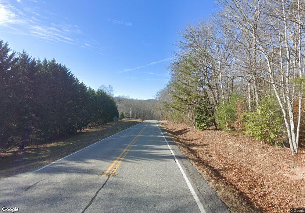
0 Highway 325 Mtn Wood Unit 7286096 Blairsville, GA 30512
Ivylog NeighborhoodEstimated Value: $712,000 - $1,116,000
4
Beds
4
Baths
2,932
Sq Ft
$314/Sq Ft
Est. Value
About This Home
This home is located at 0 Highway 325 Mtn Wood Unit 7286096, Blairsville, GA 30512 and is currently estimated at $919,954, approximately $313 per square foot. 0 Highway 325 Mtn Wood Unit 7286096 is a home located in Union County with nearby schools including Union County Primary School, Union County Elementary School, and Union County Middle School.
Ownership History
Date
Name
Owned For
Owner Type
Purchase Details
Closed on
Nov 21, 2024
Sold by
Poteete Larry
Bought by
Poteete Larry and Poteete Stacey
Current Estimated Value
Purchase Details
Closed on
Feb 5, 2016
Sold by
Gerrard Florence Ford
Bought by
Poteete Larry and Poteete Stacey
Purchase Details
Closed on
May 7, 2001
Sold by
Conklin Ramona Jean
Bought by
Ford Florence M
Purchase Details
Closed on
Oct 8, 1974
Bought by
Conklin Ramona Jean
Create a Home Valuation Report for This Property
The Home Valuation Report is an in-depth analysis detailing your home's value as well as a comparison with similar homes in the area
Home Values in the Area
Average Home Value in this Area
Purchase History
| Date | Buyer | Sale Price | Title Company |
|---|---|---|---|
| Poteete Larry | -- | -- | |
| Poteete Larry | $30,000 | -- | |
| Ford Florence M | $47,500 | -- | |
| Conklin Ramona Jean | $6,000 | -- |
Source: Public Records
Tax History Compared to Growth
Tax History
| Year | Tax Paid | Tax Assessment Tax Assessment Total Assessment is a certain percentage of the fair market value that is determined by local assessors to be the total taxable value of land and additions on the property. | Land | Improvement |
|---|---|---|---|---|
| 2024 | $4,339 | $369,400 | $38,600 | $330,800 |
| 2023 | $4,803 | $362,800 | $38,600 | $324,200 |
| 2022 | $3,822 | $289,120 | $35,760 | $253,360 |
| 2021 | $3,394 | $255,760 | $35,760 | $220,000 |
| 2020 | $3,553 | $189,791 | $22,862 | $166,929 |
| 2019 | $3,358 | $189,791 | $22,862 | $166,929 |
| 2018 | $3,100 | $176,449 | $22,862 | $153,587 |
| 2017 | $2,055 | $127,841 | $22,862 | $104,979 |
| 2016 | $402 | $22,862 | $22,862 | $0 |
| 2015 | $405 | $22,862 | $22,862 | $0 |
| 2013 | -- | $22,862 | $22,862 | $0 |
Source: Public Records
Map
Nearby Homes
- 4.73A Hwy 325 Mtn Wood
- 0 Hwy 325 Mtn Wood Unit 7543873
- 55 Restoration Rd
- 55 Restoration Rd
- 39 Mountain Woods Trail
- 5.72 Mountain Woods Rd
- 58 Mountain Woods Ln
- 8000 Mountain Woods Ln
- 20 Mountain Woods Rd
- 2005 Mountain Woods Rd
- 55 Mountain Woods Trail
- 301 Dean Gap Acres
- 126 Mountain Woods Rd
- Tract 3 Restoration Rd
- 0 Dean Gap Acres
- 76 Mountain Woods Ln
- 277 Dean Gap Acres
- 0 Restoration Rd Unit 8166651
- 0 Restoration Rd
- 13 Emmaus Way
