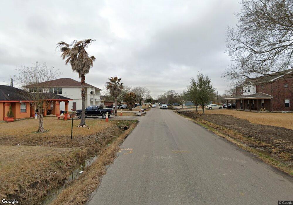
0 Holmes St Unit 91603734 La Porte, TX 77571
Estimated Value: $370,000 - $482,000
3
Beds
3
Baths
3,327
Sq Ft
$135/Sq Ft
Est. Value
About This Home
This home is located at 0 Holmes St Unit 91603734, La Porte, TX 77571 and is currently estimated at $448,425, approximately $134 per square foot. 0 Holmes St Unit 91603734 is a home located in Harris County with nearby schools including La Porte Elementary School, La Porte Junior High School, and La Porte High School.
Ownership History
Date
Name
Owned For
Owner Type
Purchase Details
Closed on
Mar 1, 2016
Sold by
Dorman Jerry Stanford and Dorman Barbara
Bought by
Bright Nagila Akema
Current Estimated Value
Purchase Details
Closed on
Dec 30, 2015
Sold by
Dorman Stephanie and Harris Kellie L Dorman
Bought by
Dorman Jerry Stanford and Dorman Barbara
Purchase Details
Closed on
Aug 9, 1999
Sold by
Food Systems Corp
Bought by
Holdar Properties Inc
Create a Home Valuation Report for This Property
The Home Valuation Report is an in-depth analysis detailing your home's value as well as a comparison with similar homes in the area
Home Values in the Area
Average Home Value in this Area
Purchase History
| Date | Buyer | Sale Price | Title Company |
|---|---|---|---|
| Bright Nagila Akema | -- | Startex Title Company | |
| Dorman Jerry Stanford | -- | Startex Title Company | |
| Holdar Properties Inc | -- | -- |
Source: Public Records
Tax History Compared to Growth
Tax History
| Year | Tax Paid | Tax Assessment Tax Assessment Total Assessment is a certain percentage of the fair market value that is determined by local assessors to be the total taxable value of land and additions on the property. | Land | Improvement |
|---|---|---|---|---|
| 2025 | $6,387 | $504,000 | $96,875 | $407,125 |
| 2024 | $6,387 | $420,000 | $90,625 | $329,375 |
| 2023 | $6,387 | $524,000 | $71,875 | $452,125 |
| 2022 | $9,500 | $332,000 | $71,875 | $260,125 |
| 2021 | $8,842 | $324,975 | $62,500 | $262,475 |
| 2020 | $9,190 | $350,000 | $62,500 | $287,500 |
| 2019 | $8,714 | $300,000 | $50,000 | $250,000 |
| 2018 | $653 | $31,250 | $31,250 | $0 |
| 2017 | $921 | $31,250 | $31,250 | $0 |
| 2016 | $921 | $31,250 | $31,250 | $0 |
| 2015 | $745 | $31,250 | $31,250 | $0 |
| 2014 | $745 | $25,000 | $25,000 | $0 |
Source: Public Records
Map
Nearby Homes
- 322 S Carroll St
- 424 S Holmes St
- 501 S Holmes St
- 305 S Carroll St
- 309 S Brownell St
- 0 S Donaldson Ave Unit 79302397
- 0 S Donaldson Ave Unit 98135220
- 319 S Ohio St
- 615 S Nugent St
- 00 S Donaldson
- 000 S Donaldson
- 508 Donaldson St
- 708 S Carroll St
- 702 S Holmes St
- 611 S Ohio St
- 720 E Main St
- 811 E Main St
- 113 N Holmes St
- 622 S Idaho St
- 602 E Main St
- 0 Holmes St Unit 70161087
- 409 S Holmes St
- 413 S Holmes St
- 402 S Carroll St
- 406 S Carroll St
- 402 S Holmes St
- 406 S Holmes St
- 387 S Holmes St Unit D4
- 410 S Holmes St
- 326 S Carroll St
- 427 S Holmes St
- 414 S Holmes St
- 410 S Carroll St
- 418 S Holmes St
- 322 S Holmes St
- 318 S Carroll St
- 318 S Holmes St
- 401 S Nugent St
- 428 S Holmes St
- 314 S Carroll St