0 Hopp Rd St Unit 55288 St. Johns, MI 48879
Estimated Value: $45,324
--
Bed
--
Bath
--
Sq Ft
4.17
Acres
About This Home
This home is located at 0 Hopp Rd St Unit 55288, St. Johns, MI 48879 and is currently estimated at $45,324. 0 Hopp Rd St Unit 55288 is a home located in Clinton County with nearby schools including St. Johns High School.
Ownership History
Date
Name
Owned For
Owner Type
Purchase Details
Closed on
Aug 20, 2021
Sold by
Peatross Courtney and Peatross William
Bought by
Martin Michael E and Martin Bonnie L
Current Estimated Value
Purchase Details
Closed on
Oct 16, 2019
Sold by
Svendsen Laurie P
Bought by
Peatross Courtney and Peatross William
Home Financials for this Owner
Home Financials are based on the most recent Mortgage that was taken out on this home.
Original Mortgage
$24,000
Interest Rate
3.5%
Mortgage Type
New Conventional
Purchase Details
Closed on
Apr 29, 2015
Sold by
Kline Jody M and Pung Jody M
Bought by
Svendsen Laurie P
Create a Home Valuation Report for This Property
The Home Valuation Report is an in-depth analysis detailing your home's value as well as a comparison with similar homes in the area
Home Values in the Area
Average Home Value in this Area
Purchase History
| Date | Buyer | Sale Price | Title Company |
|---|---|---|---|
| Martin Michael E | $37,000 | None Available | |
| Peatross Courtney | $32,000 | None Available | |
| Svendsen Laurie P | $31,000 | Parks Title |
Source: Public Records
Mortgage History
| Date | Status | Borrower | Loan Amount |
|---|---|---|---|
| Previous Owner | Peatross Courtney | $24,000 |
Source: Public Records
Tax History Compared to Growth
Tax History
| Year | Tax Paid | Tax Assessment Tax Assessment Total Assessment is a certain percentage of the fair market value that is determined by local assessors to be the total taxable value of land and additions on the property. | Land | Improvement |
|---|---|---|---|---|
| 2025 | $788 | $29,600 | $29,600 | $0 |
| 2024 | $312 | $26,200 | $26,200 | $0 |
| 2023 | $310 | $26,200 | $0 | $0 |
| 2022 | $775 | $25,300 | $25,300 | $0 |
| 2021 | $1,018 | $27,600 | $27,600 | $0 |
| 2020 | $1,000 | $22,200 | $22,200 | $0 |
| 2019 | $713 | $18,200 | $18,200 | $0 |
| 2018 | $643 | $16,700 | $16,700 | $0 |
| 2017 | -- | $16,200 | $16,200 | $0 |
| 2016 | $667 | $14,200 | $14,200 | $0 |
| 2015 | -- | $14,700 | $0 | $0 |
| 2011 | -- | $15,200 | $0 | $0 |
Source: Public Records
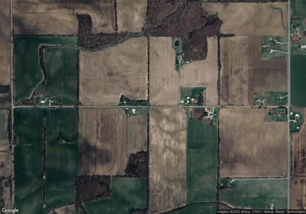
Map
Nearby Homes
- 8555 W Pratt Rd
- 8546 Church Rd
- 10349 S Francis Rd
- 11471 S Bauer Rd
- 10880 S Francis Rd
- 11603 S Wacousta Rd
- 00 W Cutler Rd
- 11433 S Francis Rd
- 7100 W Centerline Rd
- 5337 W Chadwick Rd
- 7897 S Grove Rd
- 12850 S Wacousta Rd
- 4975 W Cutler Rd
- 7713 Jon Scott Dr
- 6740 W Herbison Rd
- 0000 S Lowell Rd
- 11781 W Herbison Rd
- 13600 Forest Hill Rd
- 10510 S Airport Rd
- 10600 S Airport Rd
- 9100 Hopp Rd
- 8470 S Wacousta Rd
- 8500 S Wacousta Rd
- Vl S Wacousta Parcel F Rd
- 9261 Hopp Rd
- 8521 S Wacousta Rd
- 8250 S Wacousta Rd
- 9150 Hopp Rd
- 9364 Hopp Rd
- 9400 Hopp Rd
- 8215 S Wacousta Rd
- 8800 S Wacousta Rd
- Vl S Hopp Rd
- 9315 W Pratt Rd
- 8888 S Wacousta Rd
- 8091 S Wacousta Rd
- 9684 Hopp Rd
- 9051 W Pratt Rd
- 9441 W Pratt Rd
- 9445 W Pratt Rd