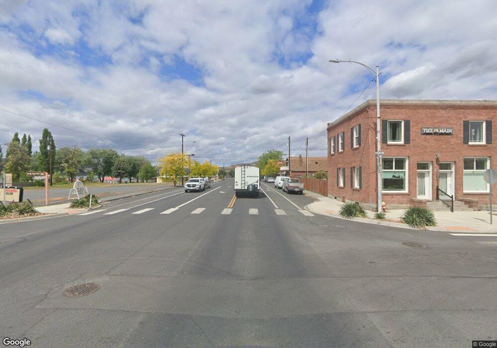
0 Hwy 17 Unit 828696 Soap Lake, WA 98851
Estimated Value: $59,243 - $113,000
--
Bed
--
Bath
--
Sq Ft
4.5
Acres
About This Home
This home is located at 0 Hwy 17 Unit 828696, Soap Lake, WA 98851 and is currently estimated at $86,414. 0 Hwy 17 Unit 828696 is a home located in Grant County with nearby schools including Ephrata High School.
Ownership History
Date
Name
Owned For
Owner Type
Purchase Details
Closed on
Aug 16, 2021
Sold by
Anderson Beau
Bought by
Cullinan Michael D
Current Estimated Value
Home Financials for this Owner
Home Financials are based on the most recent Mortgage that was taken out on this home.
Original Mortgage
$40,000
Outstanding Balance
$30,792
Interest Rate
2.2%
Mortgage Type
Stand Alone Refi Refinance Of Original Loan
Estimated Equity
$55,622
Purchase Details
Closed on
Dec 11, 2020
Sold by
Victory Group Llc
Bought by
Anderson Beau
Purchase Details
Closed on
Jun 19, 2015
Sold by
Anderson Beau and Brown Steele
Bought by
Victory Group Llc
Purchase Details
Closed on
Jun 18, 2015
Sold by
Brown Kelly
Bought by
Brown Steele
Purchase Details
Closed on
Feb 12, 2015
Sold by
Robinson Sharon L
Bought by
Garrison Douglas P
Create a Home Valuation Report for This Property
The Home Valuation Report is an in-depth analysis detailing your home's value as well as a comparison with similar homes in the area
Home Values in the Area
Average Home Value in this Area
Purchase History
| Date | Buyer | Sale Price | Title Company |
|---|---|---|---|
| Cullinan Michael D | $50,000 | Stewart Title Company | |
| Anderson Beau | -- | None Available | |
| Victory Group Llc | -- | Stewart Title | |
| Brown Steele | -- | Stewart Title | |
| Anderson Beau | -- | Stewart Title | |
| Brown Steele | $16,000 | Stewart Title | |
| Garrison Douglas P | $1,995 | None Available |
Source: Public Records
Mortgage History
| Date | Status | Borrower | Loan Amount |
|---|---|---|---|
| Open | Cullinan Michael D | $40,000 |
Source: Public Records
Tax History Compared to Growth
Tax History
| Year | Tax Paid | Tax Assessment Tax Assessment Total Assessment is a certain percentage of the fair market value that is determined by local assessors to be the total taxable value of land and additions on the property. | Land | Improvement |
|---|---|---|---|---|
| 2024 | $873 | $76,550 | $76,550 | $0 |
| 2023 | $892 | $32,900 | $32,900 | $0 |
| 2022 | $386 | $32,900 | $32,900 | $0 |
| 2021 | $395 | $32,900 | $32,900 | $0 |
| 2020 | $416 | $32,550 | $32,550 | $0 |
| 2019 | $315 | $32,550 | $32,550 | $0 |
| 2018 | $437 | $32,500 | $32,500 | $0 |
| 2017 | $348 | $27,625 | $27,625 | $0 |
| 2016 | $424 | $32,500 | $32,500 | $0 |
| 2013 | -- | $32,500 | $32,500 | $0 |
Source: Public Records
Map
Nearby Homes
- 19014 A 5
- 153 Quincy Place NW
- 1569 Road 19 NE
- 298 Road 19 NW
- 19055 Franklin St NW
- 358 Ephrata Ave NW
- 19160 Franklin St NW
- 69 Adrian Ave NW
- 715 Buttercup St S
- 1176 Washington 28
- 19214 Lakeview Dr NW
- 2866 Road 20 NE
- 85 7th Ave SW
- 0 Parcel 160661000 Unit NWM2331983
- 400 S Division St
- 453 5th Ave SE
- 242 5th Ave SE
- 19283 Saint Andrews Dr NW
- 714 Canterbury Rd NW
- 19341 Saint Andrews Dr NW
- 0 Hwy 17 Unit NWM32014303
- 0 Hwy 17 Unit NWM2044391
- 0 Hwy 17 Unit 1453460
- 0 NE Road 18 5
- 726 Road 18.5 NE
- 726 Road 18 5 NE
- 662 Road 18 5 NE
- 726 W Haven #5 NE Unit 5
- 0 Sr 17 Unit 29113062
- 603 Road 18.8 NE
- 18641 Division .5 NE
- 469 Road 18.5 NE
- 470 Road 18.8 NE
- 665 Road 18.8 NE
- 18388 Division 5
- 915 NE 18 8 Rd Unit 8
- 18312 Division .5 NE
- #NKA Hwy 17
- #KNA Hwy 17
- 436 Road 18 NE
