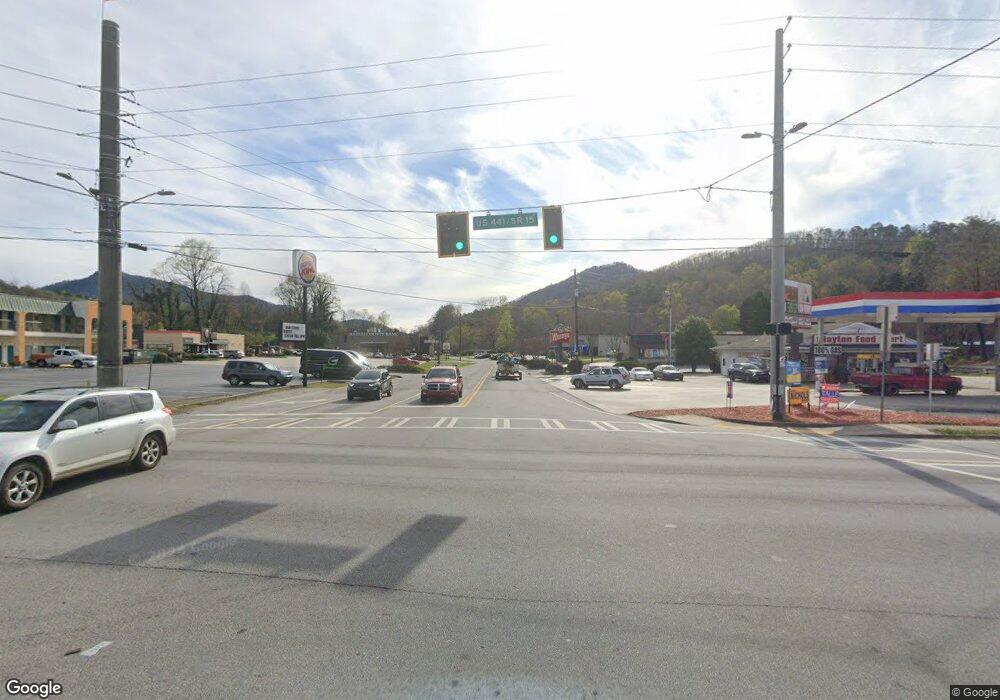
0 Hwy 441 N Unit 7325720 Rabun Gap, GA 30568
Estimated Value: $347,000 - $447,000
--
Bed
1
Bath
2,204
Sq Ft
$179/Sq Ft
Est. Value
About This Home
This home is located at 0 Hwy 441 N Unit 7325720, Rabun Gap, GA 30568 and is currently estimated at $395,323, approximately $179 per square foot. 0 Hwy 441 N Unit 7325720 is a home located in Rabun County with nearby schools including Rabun County Primary School, Rabun County High School, and Rabun Gap Nacoochee School.
Ownership History
Date
Name
Owned For
Owner Type
Purchase Details
Closed on
Feb 5, 2016
Sold by
Nichols Dawn K
Bought by
Billingsley Vaughn and Billingsley Lillie
Current Estimated Value
Purchase Details
Closed on
Dec 3, 2014
Sold by
Bradley Carolyn Faye
Bought by
Billingsley Vaughn and Billingsley Lillie S
Purchase Details
Closed on
May 4, 2005
Sold by
Nichols Dawn King
Bought by
Nichols Dawn King and Bradley Carolyn Faye
Purchase Details
Closed on
Dec 1, 2004
Bought by
Nichols Dawn King
Purchase Details
Closed on
Jun 1, 1998
Purchase Details
Closed on
Sep 1, 1992
Purchase Details
Closed on
Mar 1, 1983
Create a Home Valuation Report for This Property
The Home Valuation Report is an in-depth analysis detailing your home's value as well as a comparison with similar homes in the area
Home Values in the Area
Average Home Value in this Area
Purchase History
| Date | Buyer | Sale Price | Title Company |
|---|---|---|---|
| Billingsley Vaughn | $150,000 | -- | |
| Billingsley Vaughn | $150,000 | -- | |
| Billingsley Vaughn | $130,000 | -- | |
| Billingsley Vaughn | $130,000 | -- | |
| Nichols Dawn King | -- | -- | |
| Nichols Dawn King | -- | -- | |
| Nichols Dawn King | -- | -- | |
| Nichols Dawn King | -- | -- | |
| -- | -- | -- | |
| -- | -- | -- | |
| -- | -- | -- | |
| -- | -- | -- | |
| -- | -- | -- | |
| -- | -- | -- |
Source: Public Records
Tax History Compared to Growth
Tax History
| Year | Tax Paid | Tax Assessment Tax Assessment Total Assessment is a certain percentage of the fair market value that is determined by local assessors to be the total taxable value of land and additions on the property. | Land | Improvement |
|---|---|---|---|---|
| 2025 | $182 | $70,848 | $66,111 | $4,737 |
| 2024 | $174 | $70,537 | $66,111 | $4,426 |
| 2023 | $532 | $109,120 | $88,541 | $20,579 |
| 2022 | $514 | $102,810 | $83,007 | $19,803 |
| 2021 | $469 | $94,482 | $77,473 | $17,009 |
| 2020 | $439 | $92,332 | $77,473 | $14,859 |
| 2019 | $442 | $92,332 | $77,473 | $14,859 |
| 2018 | $440 | $92,332 | $77,473 | $14,859 |
| 2017 | $1,736 | $59,759 | $59,759 | $0 |
| 2016 | $1,127 | $59,790 | $59,790 | $0 |
| 2015 | $1,151 | $59,790 | $59,790 | $0 |
| 2014 | $1,202 | $62,100 | $62,100 | $0 |
Source: Public Records
Map
Nearby Homes
- 0 John Beck Dockins Rd Unit 10606531
- 0 Stella Ln Unit 10485082
- 0 Uplander Unit 10628218
- 0 Uplander Unit M181832
- 137 Olds Mountain Peak Rd
- 52 Lucky Ln
- 153 Coleman Heights Ln
- 333 Favor
- 668 Mountainside Dr
- 0 Wolffork Rd Unit 10624471
- 476 Franklin St
- 407 Blackberry Dr
- 1422 Wolffork Rd
- 243 Degroff Ln
- 0 N U S 441 NW Unit 10489249
- 100 Windsong Ln
- 0 Us-441 S Unit 10226435
- 548 Black Rock Mountain Pkwy
- LOT 113 Mountain Ridge Dr
- LOT 112 Mountain Ridge Dr
- 0 Hwy 441 N Unit 7325911
- 0 Hwy 441 N Unit 7520382
- 4755 Hwy 441 N
- 4755 Highway 441 N
- 104 Explorer Ln
- 234 Brooks Ln
- 126 Shearwater Ln
- 357 Little River Ln
- 291 Little River Ln
- 439 Little River Ln
- 72 Brooks Ln
- 236 John Beck Dockins Rd
- 4541 Highway 441 N
- 168 John Beck Dockins Rd
- 458 John Beck Dockins Rd
- 172 John Beck Dockins Rd
- 253 Little River Ln
- 939 Yorkhouse Rd
- 337 John Beck Dockins Rd
- 0 Yorkhouse Rd Unit 10376084
