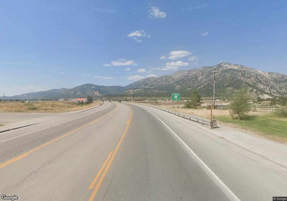
0 Hwy 89 Unit 11-1210 Alpine, WY 83128
Estimated Value: $1,062,000 - $1,914,987
3
Beds
3
Baths
2,202
Sq Ft
$643/Sq Ft
Est. Value
About This Home
This home is located at 0 Hwy 89 Unit 11-1210, Alpine, WY 83128 and is currently estimated at $1,415,997, approximately $643 per square foot. 0 Hwy 89 Unit 11-1210 is a home located in Lincoln County with nearby schools including Etna Elementary School, Thayne Elementary School, and Star Valley Middle School.
Ownership History
Date
Name
Owned For
Owner Type
Purchase Details
Closed on
Oct 4, 2022
Sold by
Mountain X Llc
Bought by
Maras Glenna and Maras Andrew
Current Estimated Value
Purchase Details
Closed on
May 28, 2019
Sold by
C & C Trucking Inc
Bought by
Mountain X Llc
Create a Home Valuation Report for This Property
The Home Valuation Report is an in-depth analysis detailing your home's value as well as a comparison with similar homes in the area
Home Values in the Area
Average Home Value in this Area
Purchase History
| Date | Buyer | Sale Price | Title Company |
|---|---|---|---|
| Maras Glenna | -- | Wyoming Title & Escrow | |
| Mountain X Llc | -- | -- |
Source: Public Records
Mortgage History
| Date | Status | Borrower | Loan Amount |
|---|---|---|---|
| Closed | Maras Glenna | -- |
Source: Public Records
Tax History Compared to Growth
Tax History
| Year | Tax Paid | Tax Assessment Tax Assessment Total Assessment is a certain percentage of the fair market value that is determined by local assessors to be the total taxable value of land and additions on the property. | Land | Improvement |
|---|---|---|---|---|
| 2025 | $5,907 | $73,780 | $17,252 | $56,528 |
| 2024 | $5,907 | $94,713 | $22,823 | $71,890 |
| 2023 | $5,678 | $91,139 | $20,831 | $70,308 |
| 2022 | $4,848 | $77,806 | $16,024 | $61,782 |
| 2021 | $3,525 | $56,406 | $10,682 | $45,724 |
| 2020 | $2,776 | $44,433 | $10,682 | $33,751 |
| 2019 | $667 | $10,682 | $10,682 | $0 |
| 2018 | $680 | $10,889 | $10,889 | $0 |
| 2017 | $670 | $10,753 | $10,753 | $0 |
| 2016 | -- | $12,680 | $12,680 | $0 |
| 2015 | -- | $12,680 | $12,680 | $0 |
| 2014 | -- | $12,680 | $12,680 | $0 |
Source: Public Records
Map
Nearby Homes
- LOT 33 Marie Ln
- 126 Corral Rd
- 0 Marten Place Unit 24-1407
- 604 Falcon Dr
- 22 River Trail Dr
- 22 Trail Ridge Rd
- 202 Alpine Hills Dr
- 8.60 ACRES McNeel Power Plant Rd
- LOT 24 Trail Ridge Rd
- 1558 Trail Ridge Rd
- 227 McNeal Power Plant Rd
- 2 Browney Ln
- 6 Browney Ln
- 616 McNeel Rd
- 399 Granite Ridge Dr
- L05 Alpine Meadow Loop
- LOT 2 Kibbie Pkwy
- 10 ACRES Stewart Trail Rd
- LOTS 1 & 2 Lever Springs Rd
- 1190 Saddle Dr
- 0 Hwy 89 Unit B4-8785
- 0 Hwy 89 Unit B2-17342
- 0 Hwy 89 Unit B1-17604
- 0 Hwy 89 Unit B1-17602
- 0 Hwy 89 Unit B1-17594
- 0 Hwy 89 Unit B1-17592
- 0 Hwy 89 Unit B1-11394
- 0 Hwy 89 Unit B1-11392
- 0 Hwy 89 Unit B0-19982
- 0 Hwy 89 Unit 10-1022
- 0 Hwy 89 Unit 20-3413
- 0 Hwy 89 Unit 14-2601
- 112900 Us Highway 89
- LOT #8 Kara St
- 112840 Us Highway 89
- 164 Hawthorne Dr
- 188 Hawthorne Dr
- LOT 5 Marie Ln
- 179 Marie Ln
- LOT 33, 34 Hawthorne
