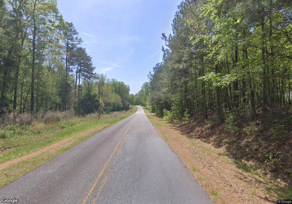
0 J B Owens Rd Unit CM919006 Bethlehem, GA 30620
Estimated Value: $275,000
--
Bed
--
Bath
--
Sq Ft
14.73
Acres
About This Home
This home is located at 0 J B Owens Rd Unit CM919006, Bethlehem, GA 30620 and is currently estimated at $275,000. 0 J B Owens Rd Unit CM919006 is a home located in Barrow County with nearby schools including Bethlehem Elementary School, Haymon-Morris Middle School, and Apalachee High School.
Ownership History
Date
Name
Owned For
Owner Type
Purchase Details
Closed on
Nov 6, 2023
Sold by
Bullard Land Planning Inc
Bought by
Lillie Aleah T and Lillie Zachariah S
Current Estimated Value
Home Financials for this Owner
Home Financials are based on the most recent Mortgage that was taken out on this home.
Original Mortgage
$125,625
Interest Rate
7.63%
Mortgage Type
New Conventional
Purchase Details
Closed on
Oct 12, 2022
Sold by
Almoner Ahmad
Bought by
Bullard Land Planning Inc
Home Financials for this Owner
Home Financials are based on the most recent Mortgage that was taken out on this home.
Original Mortgage
$117,000
Interest Rate
6.02%
Mortgage Type
Mortgage Modification
Purchase Details
Closed on
Jun 30, 2016
Sold by
Bagwell Benjamin L
Bought by
Almoner Ahmad
Purchase Details
Closed on
Oct 20, 2011
Sold by
Bagwell Benjamin L And
Bought by
Bagwell Benjamin L And
Purchase Details
Closed on
Feb 3, 2000
Bought by
Parkview Development
Create a Home Valuation Report for This Property
The Home Valuation Report is an in-depth analysis detailing your home's value as well as a comparison with similar homes in the area
Home Values in the Area
Average Home Value in this Area
Purchase History
| Date | Buyer | Sale Price | Title Company |
|---|---|---|---|
| Lillie Aleah T | $167,500 | -- | |
| Bullard Land Planning Inc | $180,000 | -- | |
| Almoner Ahmad | $40,000 | -- | |
| Bagwell Benjamin L And | -- | -- | |
| Parkview Development | -- | -- |
Source: Public Records
Mortgage History
| Date | Status | Borrower | Loan Amount |
|---|---|---|---|
| Closed | Lillie Aleah T | $125,625 | |
| Previous Owner | Bullard Land Planning Inc | $117,000 |
Source: Public Records
Tax History Compared to Growth
Tax History
| Year | Tax Paid | Tax Assessment Tax Assessment Total Assessment is a certain percentage of the fair market value that is determined by local assessors to be the total taxable value of land and additions on the property. | Land | Improvement |
|---|---|---|---|---|
| 2024 | $412 | $17,019 | $17,019 | $0 |
| 2023 | $410 | $17,019 | $17,019 | $0 |
| 2022 | $641 | $22,908 | $22,908 | $0 |
| 2021 | $546 | $18,326 | $18,326 | $0 |
| 2020 | $551 | $18,468 | $18,468 | $0 |
| 2019 | $562 | $18,468 | $18,468 | $0 |
| 2018 | $559 | $18,468 | $18,468 | $0 |
| 2017 | $538 | $18,468 | $18,468 | $0 |
| 2016 | $619 | $20,540 | $20,540 | $0 |
| 2015 | $622 | $20,540 | $20,540 | $0 |
| 2014 | $990 | $31,583 | $31,583 | $0 |
| 2013 | -- | $31,583 | $31,583 | $0 |
Source: Public Records
Map
Nearby Homes
- 449 & 455 Carl-Bethlehem Rd
- 1109 Ravenwood Dr
- 1101 Ravenwood Dr
- 0 McElhannon Rd SW Unit 10581793
- 824 Pruitt Rd
- 755 Harry McCarty Rd
- 468 Grand Oaks Ave
- 1217 Cabin Bridge Rd
- 0 Jb Owens Unit LOT 2 - 2.09 ACRES
- 0 Jb Owens Unit LOT 3 - 2.01 ACRES
- 0 Jb Owens Unit 7552902
- 0 Jb Owens Unit 7552891
- 575 Mackinaw Dr
- 784 Manger Ave
- 0 Tanners Bridge Cr
- 0 Manger Ave E Unit 20154677
- 0 Manger Ave E Unit 20127001
- 1071 Covenant Ct
- 758 Clarence Edwards Rd
- 724 Manger Ave
- 0 J B Owens Rd
- 000 J B Owens Rd
- 0 J B Owens Rd Unit 11 ACRES 10523394
- 0 J B Owens Rd Unit 11 ACRES 10438746
- 0 J B Owens Rd Unit 7147451
- 0 J B Owens Rd Unit 11 ACRES 10112309
- 943 Arch Tanner Rd
- 955 Arch Tanner Rd
- 950 Arch Tanner Rd
- 940 Arch Tanner Rd
- 912 Arch Tanner Rd
- 932 Brisco Mill Rd
- 1089 Arch Tanner Rd
- 1081 Arch Tanner Rd
- 1093 Arch Tanner Rd
- 1085 Arch Tanner Rd
- 1073 Arch Tanner Rd
- 1097 Arch Tanner Rd Unit Lot 4
- 932 Arch Tanner Rd
- 932 Briscoe Mill Rd