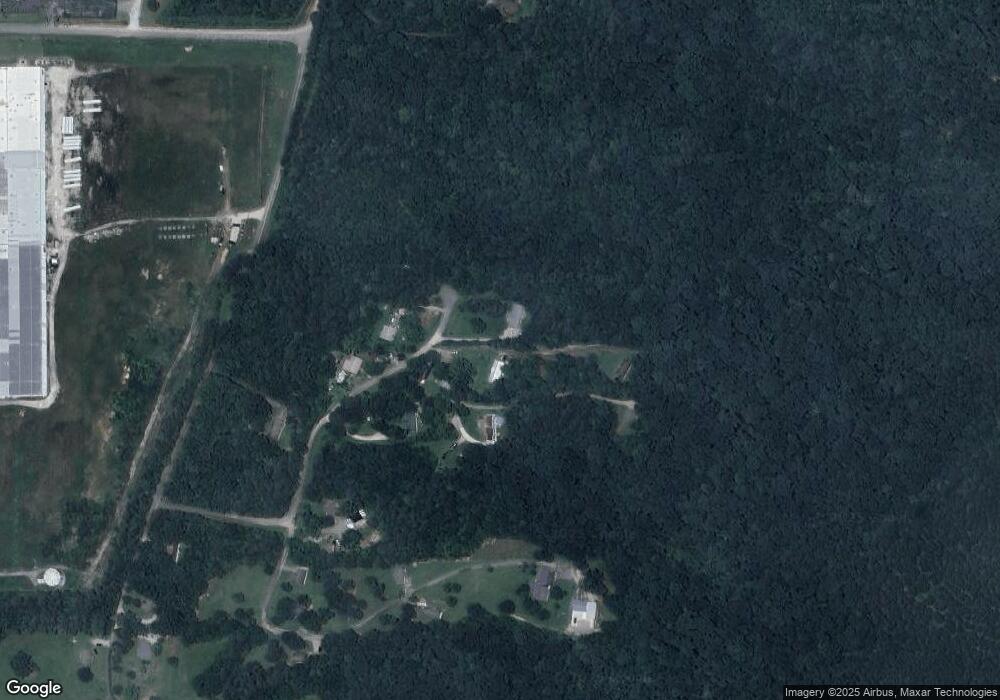
0 L Q Ware Ln Unit 1277111 Ringgold, GA 30736
Estimated Value: $285,000 - $328,000
--
Bed
--
Bath
1,420
Sq Ft
$215/Sq Ft
Est. Value
About This Home
This home is located at 0 L Q Ware Ln Unit 1277111, Ringgold, GA 30736 and is currently estimated at $305,850, approximately $215 per square foot. 0 L Q Ware Ln Unit 1277111 is a home located in Catoosa County with nearby schools including Ringgold Primary School, Ringgold Elementary School, and Heritage Middle School.
Ownership History
Date
Name
Owned For
Owner Type
Purchase Details
Closed on
Aug 30, 2022
Sold by
Wyzard Ashlee Dean
Bought by
Attaway Bryon Kenneth
Current Estimated Value
Home Financials for this Owner
Home Financials are based on the most recent Mortgage that was taken out on this home.
Original Mortgage
$251,100
Outstanding Balance
$239,388
Interest Rate
4.99%
Mortgage Type
New Conventional
Estimated Equity
$66,462
Purchase Details
Closed on
Sep 6, 2019
Sold by
Adams William C
Bought by
Wyzard Ashlee Dean
Home Financials for this Owner
Home Financials are based on the most recent Mortgage that was taken out on this home.
Original Mortgage
$152,682
Interest Rate
3.6%
Mortgage Type
FHA
Purchase Details
Closed on
Apr 19, 1986
Sold by
Phillips Carolyn D
Bought by
Phillips Carolyn D
Purchase Details
Closed on
Apr 18, 1986
Sold by
Phillips James Robert
Bought by
Phillips Carolyn D
Create a Home Valuation Report for This Property
The Home Valuation Report is an in-depth analysis detailing your home's value as well as a comparison with similar homes in the area
Home Values in the Area
Average Home Value in this Area
Purchase History
| Date | Buyer | Sale Price | Title Company |
|---|---|---|---|
| Attaway Bryon Kenneth | $265,000 | -- | |
| Wyzard Ashlee Dean | $155,500 | -- | |
| Phillips Carolyn D | -- | -- | |
| Phillips Carolyn D | -- | -- |
Source: Public Records
Mortgage History
| Date | Status | Borrower | Loan Amount |
|---|---|---|---|
| Open | Attaway Bryon Kenneth | $251,100 | |
| Previous Owner | Wyzard Ashlee Dean | $152,682 |
Source: Public Records
Tax History Compared to Growth
Tax History
| Year | Tax Paid | Tax Assessment Tax Assessment Total Assessment is a certain percentage of the fair market value that is determined by local assessors to be the total taxable value of land and additions on the property. | Land | Improvement |
|---|---|---|---|---|
| 2024 | $1,906 | $89,366 | $22,356 | $67,010 |
| 2023 | $1,613 | $72,069 | $22,356 | $49,713 |
| 2022 | $1,263 | $58,408 | $21,082 | $37,326 |
| 2021 | $1,180 | $58,408 | $21,082 | $37,326 |
| 2020 | $1,224 | $52,896 | $21,082 | $31,814 |
| 2019 | $440 | $31,195 | $12,965 | $18,230 |
| 2018 | $846 | $34,240 | $12,965 | $21,275 |
| 2017 | $991 | $40,127 | $19,223 | $20,904 |
| 2016 | $1,002 | $38,541 | $19,223 | $19,318 |
| 2015 | -- | $38,541 | $19,223 | $19,318 |
| 2014 | -- | $33,318 | $14,000 | $19,318 |
| 2013 | -- | $29,568 | $14,000 | $15,568 |
Source: Public Records
Map
Nearby Homes
- 0 Battlefield Pkwy Unit 1521890
- 0 Keith Rd Unit 1511399
- 383 Red Tail Dr
- 359 Red Tail Dr
- 0 Hwy 151 Unit 10530956
- 0 Hwy 151 Unit 1512839
- 0 Etowah Unit 129188
- 0 Etowah Unit 7323783
- 95 Night Shade Ln
- 478 Dedmon Rd
- 56 Ginger Dr
- 69 Crabtree Dr
- 555 Dedmon Rd
- 0 Clearview Dr Unit RTC2683558
- 0 Clearview Dr Unit RTC2683557
- 0 Clearview Dr Unit 1396224
- 0 Clearview Dr Unit 1396221
- 0 Greenwood Rd Unit RTC3013946
- 0 Greenwood Rd Unit 1522046
- 59 Willowbrook Dr
- 82 Lq Ware Ln
- 166 Lq Ware Ln
- 246 Morningshade Ln
- 218 Lq Ware Ln
- 181 Lq Ware Ln
- 1231 Hackett Mill Rd
- 1391 Hackett Mill Rd
- 1421 Hackett Mill Rd
- 0 Keith Rd Unit 1102474
- 0 Breckinridge Dr Unit 1106642
- 0 Breckinridge Dr Unit 1106585
- 0 Lee Hwy Unit 1111095
- 4 Farmington Dr
- 11 Farmington Dr
- 14 Farmington Dr
- 6 Farmington Dr
- 16 Farmington Dr
- 7 Farmington Dr
- 9 Farmington Dr
- 2 McConnell Farm Cir
