0 Lakeview Blvd Unit 2935035 Millersport, OH 43046
Estimated Value: $397,000 - $747,000
2
Beds
2
Baths
1,745
Sq Ft
$328/Sq Ft
Est. Value
About This Home
This home is located at 0 Lakeview Blvd Unit 2935035, Millersport, OH 43046 and is currently estimated at $572,000, approximately $327 per square foot. 0 Lakeview Blvd Unit 2935035 is a home located in Fairfield County with nearby schools including Millersport Elementary School and Millersport Jr/Sr High School.
Ownership History
Date
Name
Owned For
Owner Type
Purchase Details
Closed on
Jul 24, 2023
Sold by
Smith Yolanda
Bought by
Gregory Cory
Current Estimated Value
Home Financials for this Owner
Home Financials are based on the most recent Mortgage that was taken out on this home.
Original Mortgage
$400,000
Outstanding Balance
$334,427
Interest Rate
6.69%
Mortgage Type
Seller Take Back
Estimated Equity
$237,573
Purchase Details
Closed on
Oct 20, 1995
Sold by
Laughlin Laura W
Bought by
Smith David L and Smith Yolanda
Home Financials for this Owner
Home Financials are based on the most recent Mortgage that was taken out on this home.
Original Mortgage
$26,756
Interest Rate
7.68%
Mortgage Type
New Conventional
Purchase Details
Closed on
Sep 7, 1993
Sold by
Wright Frederick Wehrle
Bought by
Laughlin Laura W
Create a Home Valuation Report for This Property
The Home Valuation Report is an in-depth analysis detailing your home's value as well as a comparison with similar homes in the area
Home Values in the Area
Average Home Value in this Area
Purchase History
| Date | Buyer | Sale Price | Title Company |
|---|---|---|---|
| Gregory Cory | $700,000 | Northwest Advantage Title | |
| Smith David L | $87,000 | -- | |
| Laughlin Laura W | -- | -- |
Source: Public Records
Mortgage History
| Date | Status | Borrower | Loan Amount |
|---|---|---|---|
| Open | Gregory Cory | $400,000 | |
| Previous Owner | Smith David L | $26,756 |
Source: Public Records
Tax History Compared to Growth
Tax History
| Year | Tax Paid | Tax Assessment Tax Assessment Total Assessment is a certain percentage of the fair market value that is determined by local assessors to be the total taxable value of land and additions on the property. | Land | Improvement |
|---|---|---|---|---|
| 2024 | $6,942 | $115,500 | $115,500 | -- |
| 2023 | $3,498 | $86,630 | $86,630 | -- |
| 2022 | $3,516 | $86,630 | $86,630 | $0 |
| 2021 | $3,550 | $78,750 | $78,750 | $0 |
| 2020 | $3,563 | $78,750 | $78,750 | $0 |
| 2019 | $3,563 | $78,750 | $78,750 | $0 |
| 2018 | $2,888 | $57,750 | $57,750 | $0 |
| 2017 | $2,888 | $57,750 | $57,750 | $0 |
| 2016 | $2,665 | $57,750 | $57,750 | $0 |
| 2015 | $2,709 | $57,750 | $57,750 | $0 |
| 2014 | $2,199 | $57,750 | $57,750 | $0 |
| 2013 | $2,199 | $57,750 | $57,750 | $0 |
Source: Public Records
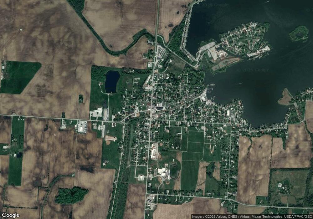
Map
Nearby Homes
- 12700 Onion Island NE
- 12946 W Bank Dr NE
- 13180 W Bank Dr NE
- 12580 W Bank Dr NE
- 13244 W Bank Dr NE
- 3621 S Bank Rd NE
- 12656 W Bank Dr NE
- 13404 W Bank Dr NE
- 13474 W Bank Dr NE
- 3333 S Bank Rd NE
- 12291 Ohio Ave
- 3317 S Bank Rd NE
- 3427 S Bank Rd NE
- 12055 7th Ave
- 2486 Mallard Point Ln
- 3308 Shepard Ave
- 13556 Richards St NE
- 3483 N Bank Rd
- 2592 Summit St
- 2582 E Park St
- 3232 Maple Ave NE
- 3232 Maple Ave NE
- 3238 Cottonwood Ct NE
- 3254 Cottonwood Ct NE
- 3230 Cottonwood Ct NE
- 3230 Cottonwood Ct NE
- 3255 Cottonwood Ct NE
- 3218 Maple Ave NE
- 3222 Cottonwood Ct NE
- 3235 Cottonwood Ct NE
- 3235 Cottonwood Ct NE
- 3210 Maple Ave NE
- 3202 Maple Ave NE
- 3226 Middle Ct NE
- 3191 Maple Ave NE
- 3190 Cottonwood Ct NE
- 3194 Maple Ave NE
- 3203 Cottonwood Ct NE
- 3240 Middle Ct NE
- 3183 Maple Ave NE