0 Lower Valley Pike Unit 1042610 Springfield, OH 45502
Estimated payment $293/month
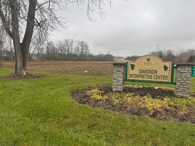
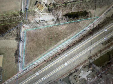
About This Lot
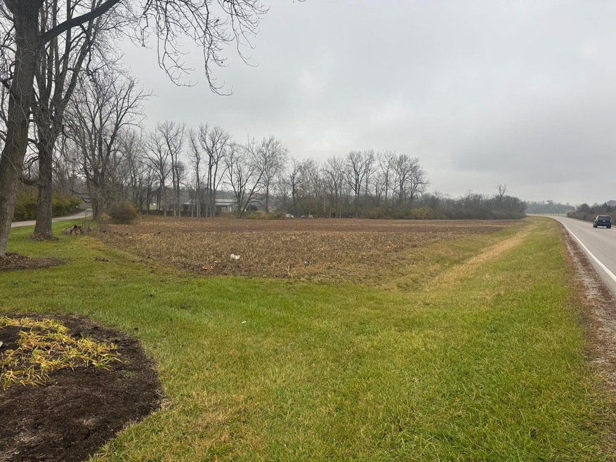
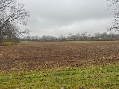
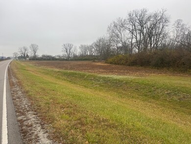
3.27 acres with approximately 1.080 sq. ft. of road frontage on Lower Valley Pike. Land is in a water way flood zone.
Property Details
Property Type
- Land
Est. Annual Taxes
- $668
Lot Details
- 3.27 Acre Lot
- Zoning described as Agricultural
Community Details
- No Home Owners Association
Listing and Financial Details
- Assessor Parcel Number 0100600033000058
Map
Home Values in the Area
Average Home Value in this Area
Property History
| Date | Event | Price | List to Sale | Price per Sq Ft |
|---|---|---|---|---|
| 11/20/2025 11/20/25 | For Sale | $44,900 | -- | -- |
Source: Western Regional Information Systems & Technology (WRIST)
MLS Number: 1042610
Disclaimer: Certain information contained herein is derived from information provided by parties other than Homes.com. All information provided is deemed reliable, but is not guaranteed to be accurate and should be independently verified.
![]() IDX information is provided exclusively for personal, non-commercial use, and may not be used for any purpose other than to identify prospective properties consumers may be interested in purchasing.
IDX information is provided exclusively for personal, non-commercial use, and may not be used for any purpose other than to identify prospective properties consumers may be interested in purchasing.
- 0 Lower Valley Pike Unit 947313
- 1120 W High St
- 222 N Race St Unit 224
- 0 S Plum St
- 1009 W High St
- 101`103 N Western
- 711 W Mulberry St
- 935 W North St Unit 935
- 833 W Mulberry St
- 306 N Western Ave
- 1205 W High St
- 516 W Clark St
- 423 N Jackson St Unit 425
- 1212 W Pleasant St
- 1230 W Pleasant St
- 366 N Isabella St
- 830 Dibert Ave
- 1420 Parker Ct
- 410 W Liberty St
- 702 S Wittenberg Ave
- 147 S Shaffer St Unit .5
- 44 W High St Unit B
- 816 W Liberty St
- 913 S Limestone St
- 909 S Limestone St
- 314 Selma Rd Unit 1/2
- 314 Selma Rd
- 312 Selma Rd
- 312 Selma Rd Unit 1/2
- 124 E Cecil St
- 1129.5 Garfield Ave
- 536 Homeview Ave
- 731 E High St
- 700 E McCreight Ave
- 1576 E High St
- 1580 Highland Ave Unit 1582 1/2
- 1590-1592 E High St
- 1910 E High St
- 2310 N Limestone St
- 2100 E High St
