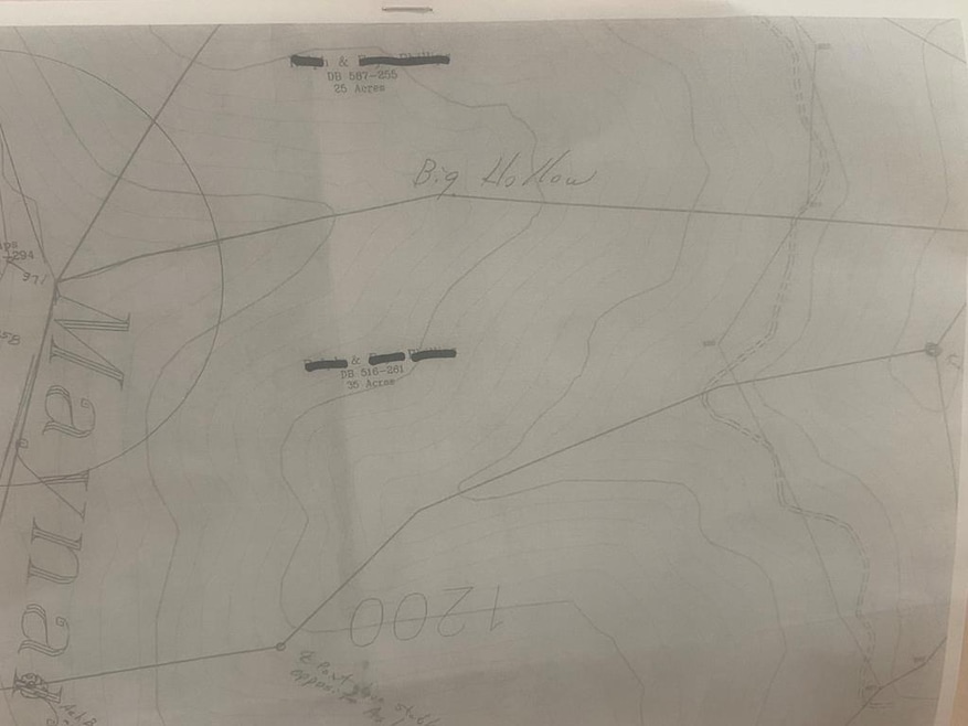
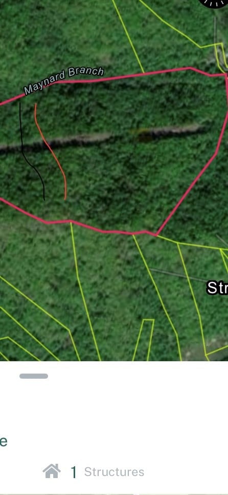
0 Maynard Branch Burnwell, KY 41514
Estimated payment $433/month
Total Views
11,516
40
Acres
$1,750
Price per Acre
1,742,400
Sq Ft Lot
About This Lot
40 Acres of Undeveloped Land on Maynard Branch in Burnwell KY. Located within 15 minutes of Devil Anse Trailhead of the Hatfield McCoy Trail System
Listing Agent
AAA Real Estate Services Brokerage Phone: 6064339700 License #212720 Listed on: 08/01/2025
Property Details
Property Type
- Land
Lot Details
- 40 Acre Lot
Schools
- Belfry High School
Map
Create a Home Valuation Report for This Property
The Home Valuation Report is an in-depth analysis detailing your home's value as well as a comparison with similar homes in the area
Property History
| Date | Event | Price | List to Sale | Price per Sq Ft |
|---|---|---|---|---|
| 11/24/2025 11/24/25 | For Sale | $70,000 | 0.0% | -- |
| 11/02/2025 11/02/25 | Off Market | $70,000 | -- | -- |
| 08/01/2025 08/01/25 | For Sale | $70,000 | -- | -- |
Source: Eastern Kentucky Association of REALTORS®
Source: Eastern Kentucky Association of REALTORS®
MLS Number: 125276
Nearby Homes
- 173 Cooper Hill
- 31 Perry Stanley Rd
- 565 W Virginia 49
- 00 State Highway 319
- 00 State Highway 319
- 0000 State Highway 319
- 0 Cow Branch
- 135 Lick Creek Rd
- 1132 Midland Ave
- 433 Forest Hills Rd
- 24342 U S 119
- 84 84 Loftis Tipple Rd - Lots 1-2-3-4
- 84 84 Loftis Tipple Rd Lots 6-8-10-12
- 0 00 Unit 126430
- 940 Forest Hills Rd
- 341 State Highway 292 E
- 31 Jerry Bottom Ct
- 511 Hatfield Branch Rd
- 529 Hatfield Branch Rd
- 469 Hatfield Branch


