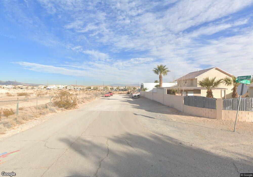
0 Mohawk St Unit 2675414 Las Vegas, NV 89118
Estimated Value: $185,000 - $1,621,000
--
Bed
--
Bath
--
Sq Ft
2.5
Acres
About This Home
This home is located at 0 Mohawk St Unit 2675414, Las Vegas, NV 89118 and is currently estimated at $815,309. 0 Mohawk St Unit 2675414 is a home located in Clark County with nearby schools including Helen Jydstrup Elementary School, Grant Sawyer Middle School, and Durango High School.
Ownership History
Date
Name
Owned For
Owner Type
Purchase Details
Closed on
Oct 18, 2021
Sold by
Fan Xinping
Bought by
White B Llc
Current Estimated Value
Purchase Details
Closed on
Oct 7, 2021
Sold by
Ahl Ul Bayt Center Of Nevada Inc
Bought by
Fan Xinping
Purchase Details
Closed on
May 10, 2018
Sold by
Karasik Debbie and Seideman Gary
Bought by
Ahl Ui Bayt Center Of Nevada Inc
Purchase Details
Closed on
Aug 1, 1996
Sold by
Seideman Alan
Bought by
Seideman Alan
Purchase Details
Closed on
Jul 10, 1995
Sold by
Seideman Ben
Bought by
Seideman Alan
Create a Home Valuation Report for This Property
The Home Valuation Report is an in-depth analysis detailing your home's value as well as a comparison with similar homes in the area
Home Values in the Area
Average Home Value in this Area
Purchase History
| Date | Buyer | Sale Price | Title Company |
|---|---|---|---|
| White B Llc | -- | None Available | |
| Fan Xinping | $567,000 | Ort Co Of Nevada | |
| Ahl Ui Bayt Center Of Nevada Inc | $349,000 | Chicago Title Las Vegas | |
| Seideman Alan | -- | -- | |
| Seideman Alan | -- | -- | |
| Seideman Alan | -- | -- |
Source: Public Records
Tax History Compared to Growth
Tax History
| Year | Tax Paid | Tax Assessment Tax Assessment Total Assessment is a certain percentage of the fair market value that is determined by local assessors to be the total taxable value of land and additions on the property. | Land | Improvement |
|---|---|---|---|---|
| 2025 | $2,397 | $218,750 | $218,750 | -- |
| 2024 | $2,055 | $218,750 | $218,750 | -- |
| 2023 | $2,055 | $192,500 | $192,500 | $0 |
| 2022 | $1,903 | $154,000 | $154,000 | $0 |
| 2021 | $1,763 | $140,000 | $140,000 | $0 |
| 2020 | $1,634 | $140,000 | $140,000 | $0 |
| 2019 | $1,531 | $122,500 | $122,500 | $0 |
| 2018 | $1,461 | $105,000 | $105,000 | $0 |
| 2017 | $2,823 | $96,250 | $96,250 | $0 |
| 2016 | $1,368 | $77,000 | $77,000 | $0 |
| 2015 | $1,365 | $70,000 | $70,000 | $0 |
| 2014 | $1,323 | $43,750 | $43,750 | $0 |
Source: Public Records
Map
Nearby Homes
- 6210 W Quail Ave
- 5790 Westwind Rd
- 5354 Silver Branch Ave
- 5990 Viscaya Grove St
- 5645 Warm Light St
- 5332 Avory Peak Ct
- 5607 W Dewey Dr
- 5910 W Post Rd
- 0 S Lindell Rd
- 0 W Patrick Ln Unit 2718906
- 5691 Leaning Oak Ave
- 5829 W Patrick Ln
- 5461 Dungaree St
- 5449 Dungaree St
- 5885 Prospector Trail Unit 6
- 5434 Lost Ln
- 6053 Conroe Ct
- 5055 W Hacienda Ave Unit 2003
- 5055 W Hacienda Ave Unit 1046
- 5055 W Hacienda Ave Unit 2041
- 0 Mohawk St Unit 1949717
- 0 Mohawk St Unit 2037521
- 0 Mohawk St Unit 2320633
- 0 Mohawk St Unit 2449055
- 5820 Mohawk St
- 5840 Mohawk St
- 5860 Mohawk St
- 5876 Lindell Rd
- 5340 W Quail Ave
- 5540 W Oquendo Rd
- 5866 Lindell Rd
- 5550 W Oquendo Rd
- 5310 W Quail Ave
- 5330 W Quail Ave
- 5560 W Oquendo Rd
- 0 Lindell Rd Unit 2125569
- 0 Lindell Rd Unit 1838032
- 0 Lindell Rd Unit 2338707
- 0 Lindell Rd Unit 2289483