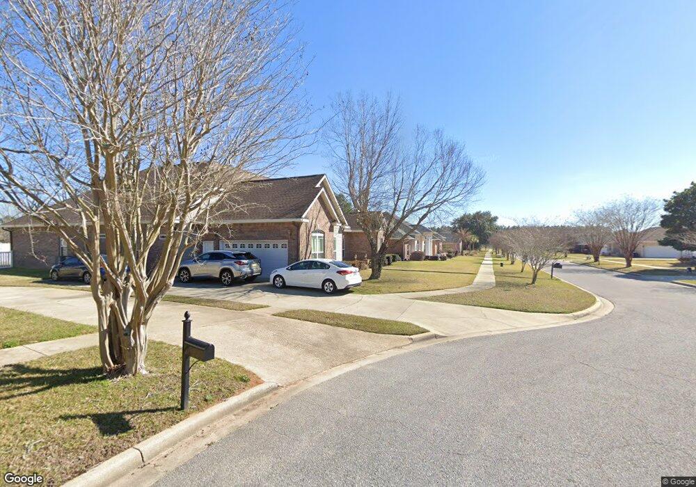
0 Mt Pilot St Unit 614965 Cantonment, FL 32533
Estimated Value: $417,173 - $485,000
4
Beds
3
Baths
2,425
Sq Ft
$184/Sq Ft
Est. Value
About This Home
This home is located at 0 Mt Pilot St Unit 614965, Cantonment, FL 32533 and is currently estimated at $446,793, approximately $184 per square foot. 0 Mt Pilot St Unit 614965 is a home located in Escambia County with nearby schools including Pine Meadow Elementary School, Beulah Middle School, and J.M. Tate Senior High School.
Ownership History
Date
Name
Owned For
Owner Type
Purchase Details
Closed on
Oct 31, 2016
Sold by
Toman Alice Jane
Bought by
Stephenson George M and Stephenson Patricia A
Current Estimated Value
Purchase Details
Closed on
Oct 30, 2015
Sold by
Wells Janet D
Bought by
Callaway Kevin L and Callaway Kathleen A
Home Financials for this Owner
Home Financials are based on the most recent Mortgage that was taken out on this home.
Original Mortgage
$37,500
Interest Rate
3.89%
Mortgage Type
Purchase Money Mortgage
Create a Home Valuation Report for This Property
The Home Valuation Report is an in-depth analysis detailing your home's value as well as a comparison with similar homes in the area
Home Values in the Area
Average Home Value in this Area
Purchase History
| Date | Buyer | Sale Price | Title Company |
|---|---|---|---|
| Stephenson George M | $230,000 | Citizens Title Group Inc | |
| Callaway Kevin L | $56,500 | Surety Land Title Of Fl Llc |
Source: Public Records
Mortgage History
| Date | Status | Borrower | Loan Amount |
|---|---|---|---|
| Previous Owner | Callaway Kevin L | $37,500 |
Source: Public Records
Tax History Compared to Growth
Tax History
| Year | Tax Paid | Tax Assessment Tax Assessment Total Assessment is a certain percentage of the fair market value that is determined by local assessors to be the total taxable value of land and additions on the property. | Land | Improvement |
|---|---|---|---|---|
| 2024 | $4,811 | $367,476 | $60,000 | $307,476 |
| 2023 | $4,811 | $331,557 | $0 | $0 |
| 2022 | $4,337 | $334,355 | $45,000 | $289,355 |
| 2021 | $3,920 | $274,015 | $0 | $0 |
| 2020 | $2,778 | $238,859 | $0 | $0 |
| 2019 | $2,728 | $233,489 | $0 | $0 |
| 2018 | $2,725 | $229,136 | $0 | $0 |
| 2017 | $2,718 | $224,424 | $0 | $0 |
| 2016 | $2,348 | $191,251 | $0 | $0 |
| 2015 | $2,343 | $189,922 | $0 | $0 |
| 2014 | $2,340 | $188,415 | $0 | $0 |
Source: Public Records
Map
Nearby Homes
- 116 Mt Pilot St
- 213 Newberry St
- 412 Mayberry St
- 1422 Starlight Dr
- 1420 Starlight Dr
- 33 Littleton St
- 1718 W 9 & Half Mile Rd
- 45 Newport St
- 1403 Twilight Dr
- 1412 Croquet Dr
- 3780 Ashland Ave
- 9001 Thompson Dr
- 2562 Trailwood Dr
- 9050 Pasadena St
- 1441 Dunhurst Dr
- 8964 Abbington Dr
- 2292 Trailwood Dr
- 1405 Dunhurst Dr
- 8920 Brigade Trail
- 1318 Kayzan St
- 0 Mt Pilot St Unit 596539
- 150 Danville St
- 104 Mt Pilot St
- 100 BLK Mt Pilot St
- 0 Mount Pilot St
- 100 Mt Pilot St
- 154 Danville St
- 108 Mt Pilot St
- 105 Mount Pilot St
- 158 Danville St
- 109 Mt Pilot St
- 112 Mt Pilot St
- 113 Mt Pilot St
- 162 Danville St
- 200 Newberry St Unit BLK
- 200 Newberry St
- 115 Mt Pilot St
- 208 Newberry St
- 166 Danville St
- 120 Mt Pilot St
