M
Seller's Agent in 2017
Michael Tragner
Fountains Land Inc.
(802) 223-8644
54 Total Sales
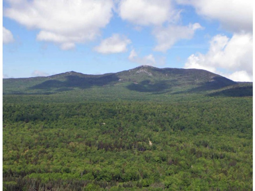
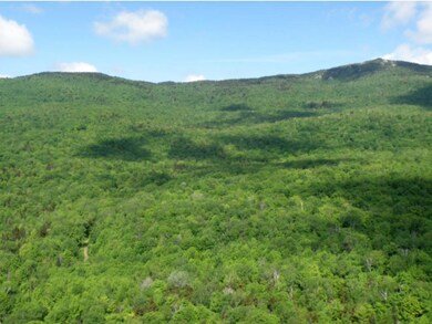
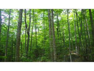
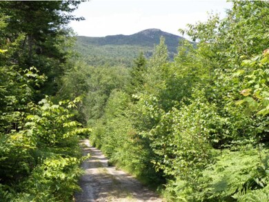
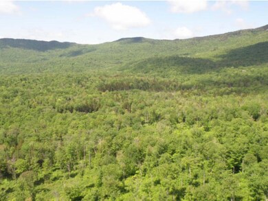

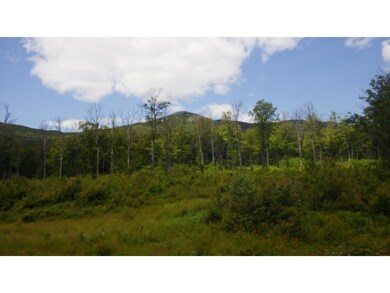
On the eastern slopes of the Worcester Range, this property offers timber production, recreation and homesteading. The property shares 3 miles of boundary with Putnam State Forest; includes the Burnt Mountain summit; has an internal road that leads to sweeping views of Mount Hunger; and is 10 miles from Montpelier. The forestâs western terrain rises steadily from east to west, culminating at Burnt Mountain. Terrain for the eastern section of the forest rises south to north over mostly gentle slopes. Much of this terrain is easily accessible and there are attractive views of the mountains and the Montpelier area. The propertyâs southeastern area provides level homestead opportunity relatively close to the town road and power, while the landscape at the end of the internal road provides a compelling, remote location for a house or camp. The forest has benefited from decades of professional stewardship and the timber resource is dominated by northern hardwoods.â
Last Agent to Sell the Property
Fountains Land Inc. License #081.0004141 Listed on: 08/10/2015
| Date | Event | Price | List to Sale | Price per Sq Ft |
|---|---|---|---|---|
| 12/22/2017 12/22/17 | Sold | $864,100 | -24.5% | -- |
| 09/28/2017 09/28/17 | Pending | -- | -- | -- |
| 08/10/2015 08/10/15 | For Sale | $1,144,500 | -- | -- |
M
Seller's Agent in 2017
Michael Tragner
Fountains Land Inc.
(802) 223-8644
54 Total Sales
Source: PrimeMLS
MLS Number: 4443685
Disclaimer: Certain information contained herein is derived from information provided by parties other than Homes.com. All information provided is deemed reliable, but is not guaranteed to be accurate and should be independently verified.
![]() Copyright 2026 PrimeMLS, Inc. All rights reserved. This information is deemed reliable, but not guaranteed. The data relating to real estate displayed on this display comes in part from the IDX Program of PrimeMLS. The information being provided is for consumers’ personal, non-commercial use and may not be used for any purpose other than to identify prospective properties consumers may be interested in purchasing.
Copyright 2026 PrimeMLS, Inc. All rights reserved. This information is deemed reliable, but not guaranteed. The data relating to real estate displayed on this display comes in part from the IDX Program of PrimeMLS. The information being provided is for consumers’ personal, non-commercial use and may not be used for any purpose other than to identify prospective properties consumers may be interested in purchasing.
Ask me questions while you tour the home.
