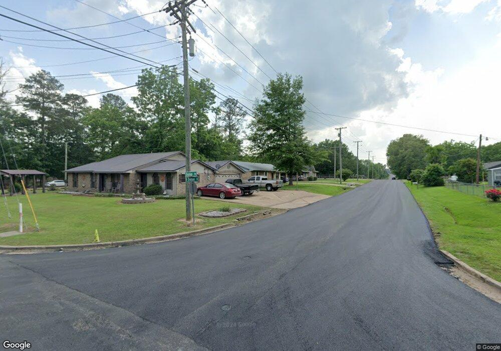
0 N Highway 45 @ Dunlap Rd West Point, MI 39773
--
Bed
--
Bath
--
Sq Ft
4.46
Acres
About This Home
This home is located at 0 N Highway 45 @ Dunlap Rd, West Point, MI 39773. 0 N Highway 45 @ Dunlap Rd is a home located in Clay County with nearby schools including East Side Elementary School, West Clay Elementary School, and Church Hill Elementary School.
Create a Home Valuation Report for This Property
The Home Valuation Report is an in-depth analysis detailing your home's value as well as a comparison with similar homes in the area
Home Values in the Area
Average Home Value in this Area
Tax History Compared to Growth
Map
Nearby Homes
- 0 Us Hwy 45a Unit 4033641
- 0 Us Hwy 45a Unit 22-3720
- 8143 N Hwy 45 Alt
- 399 Lone Oak Dr
- 218 Lewellen St
- 0 Us-45 Alt N Lot 14
- 165 William Huffman Rd
- 318 Progress St
- 63 Clay St
- 0 Mississippi 50
- 593 Lone Oak Dr
- 530 E Morrow St
- 564 E Morrow St
- 26788 E Main St
- 26852 E Main St
- 159 Washington St
- 222 Wyman Dr
- 184 Tournament St
- 98 Court St
- 229 S Division St
- 0 N Hwy 45
- 89 Dunlap Rd
- 1119 Barksdale Rd
- 1131 Barksdale Rd
- 170 Dunlap Rd
- 159 Dunlap Rd
- 1107 Barksdale Rd
- 177 Dunlap Rd
- 1113 Barksdale Rd
- 63 Barksdale Dr
- 200 Dunlap Rd
- 53 Dunlap Rd
- 417 Dunlap Rd
- 512 Dunlap Rd
- 1321 Barksdale Rd
- 210 Dunlap Rd
- 1127 Barksdale Rd
- 1345 Barksdale Rd
- 1351 Barksdale Rd
- 8099 U S 45 Alternate
