
Seller's Agent in 2020
Charles Crannell
Badger Peabody & Smith Realty
(603) 991-9421
9 in this area
64 Total Sales
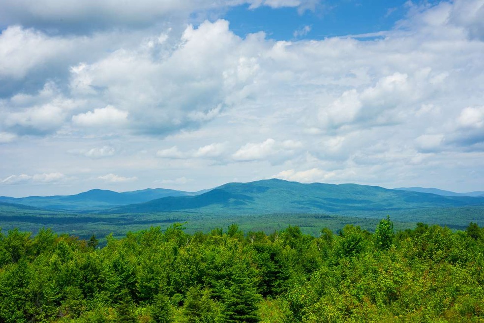


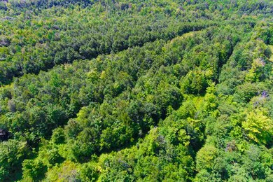
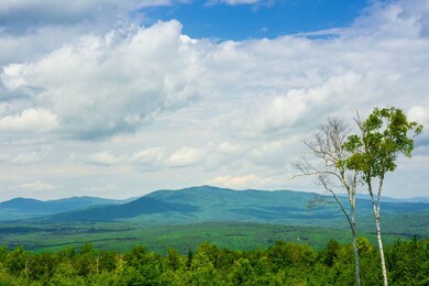
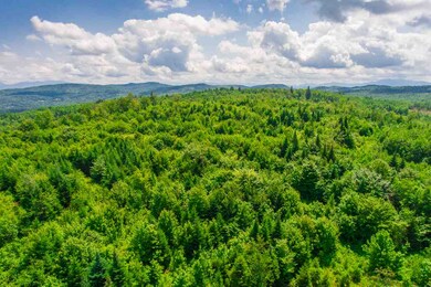
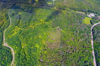
You can own 340 acres of land with views at the top over the Connecticut River to the Western Vermont Mountain Range also with some cutting you will see Cannon Mountain & Mt. Lafayette to the east. This property consists of two lots; 38+/-AC parcel and 302+/-AC parcel. The land can be used for recreation or development or keep it as an investment whatever your plans. Separate tax bills;sell the smaller(38AC) parcel and obtain a ROW to the 304 AC piece. Many options available with this large tract of land. Mt. Misery & Osgood Farm Roads are town roads and the land has major frontage on Rt. 135. Access the old logging road from Rt. 135 and go right up! Approximately five miles to Rt.I-93 and seven miles to downtown Littleton. Land is in Current Use. There are not many large parcels left and this one has a lot to offer.
Last Agent to Sell the Property
Badger Peabody & Smith Realty Brokerage Phone: 603-823-5700 License #048563 Listed on: 06/10/2019
Last Buyer's Agent
Badger Peabody & Smith Realty Brokerage Phone: 603-823-5700 License #048563 Listed on: 06/10/2019
| Date | Event | Price | List to Sale | Price per Sq Ft |
|---|---|---|---|---|
| 06/08/2020 06/08/20 | Sold | $260,000 | -21.0% | -- |
| 05/12/2020 05/12/20 | Pending | -- | -- | -- |
| 06/10/2019 06/10/19 | For Sale | $329,000 | -- | -- |
Seller's Agent in 2020
Charles Crannell
Badger Peabody & Smith Realty
(603) 991-9421
9 in this area
64 Total Sales
Source: PrimeMLS
MLS Number: 4757433
Disclaimer: Certain information contained herein is derived from information provided by parties other than Homes.com. All information provided is deemed reliable, but is not guaranteed to be accurate and should be independently verified.
![]() Copyright 2025 PrimeMLS, Inc. All rights reserved. This information is deemed reliable, but not guaranteed. The data relating to real estate displayed on this display comes in part from the IDX Program of PrimeMLS. The information being provided is for consumers’ personal, non-commercial use and may not be used for any purpose other than to identify prospective properties consumers may be interested in purchasing.
Copyright 2025 PrimeMLS, Inc. All rights reserved. This information is deemed reliable, but not guaranteed. The data relating to real estate displayed on this display comes in part from the IDX Program of PrimeMLS. The information being provided is for consumers’ personal, non-commercial use and may not be used for any purpose other than to identify prospective properties consumers may be interested in purchasing.