0 Near Kolob Res - Serenity Ln Ln Virgin, UT 84779
Estimated Value: $413,000
--
Bed
--
Bath
--
Sq Ft
0.67
Acres
About This Home
This home is located at 0 Near Kolob Res - Serenity Ln Ln, Virgin, UT 84779 and is currently estimated at $413,000. 0 Near Kolob Res - Serenity Ln Ln is a home located in Washington County with nearby schools including Hurricane Middle School, Hurricane High School, and Springdale School.
Ownership History
Date
Name
Owned For
Owner Type
Purchase Details
Closed on
Mar 15, 2016
Sold by
Jensen Lance and Jensen Lance M
Bought by
Jensen Lance M and Jensen Gina R
Current Estimated Value
Purchase Details
Closed on
Jun 6, 2014
Sold by
Hall Laron W and Hall Linda W
Bought by
Postma Kim Lea and Postma Kori Lin
Purchase Details
Closed on
Aug 8, 2008
Sold by
Beatty Donald Lee and Beatty Klea R
Bought by
Hall Laron W and Hall Linda W
Purchase Details
Closed on
Oct 18, 2006
Sold by
Beatty Donald Lee and Beatty Klea R
Bought by
Beatty Donald Lee and Beatty Klea R
Create a Home Valuation Report for This Property
The Home Valuation Report is an in-depth analysis detailing your home's value as well as a comparison with similar homes in the area
Home Values in the Area
Average Home Value in this Area
Purchase History
| Date | Buyer | Sale Price | Title Company |
|---|---|---|---|
| Jensen Lance M | -- | Accommodation | |
| Jensen Lance | -- | First American Title Ins Co | |
| Postma Kim Lea | -- | None Available | |
| Hall Laron W | -- | None Available | |
| Beatty Donald Lee | -- | None Available |
Source: Public Records
Tax History Compared to Growth
Tax History
| Year | Tax Paid | Tax Assessment Tax Assessment Total Assessment is a certain percentage of the fair market value that is determined by local assessors to be the total taxable value of land and additions on the property. | Land | Improvement |
|---|---|---|---|---|
| 2025 | $167 | $24,800 | $24,800 | -- |
| 2023 | $131 | $19,800 | $19,800 | -- |
| 2022 | $171 | $19,800 | $19,800 | $0 |
| 2021 | $110 | $13,200 | $13,200 | $0 |
| 2020 | $124 | $13,200 | $13,200 | $0 |
| 2019 | $124 | $13,200 | $13,200 | $0 |
| 2018 | $132 | $13,200 | $0 | $0 |
| 2017 | $159 | $15,400 | $0 | $0 |
| 2016 | $175 | $16,500 | $0 | $0 |
| 2015 | $182 | $16,500 | $0 | $0 |
| 2014 | $182 | $16,500 | $0 | $0 |
Source: Public Records
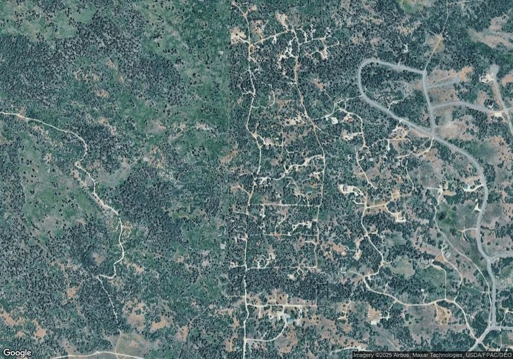
Map
Nearby Homes
- 0 82 Unit 25-261262
- 0 Rd Unit 25-261251
- 367 N Spring Dr
- 367 N Spring Dr Unit 67
- 345 N Terrace Dr
- Lot 10 Spring Dr
- 248 N Spring Dr
- Lot 8 Spring Dr
- 271 N Whispering Pines Cir
- 271 Whispering Pines
- 216 Maple Cir
- 394 N W
- 2212 E Egan Rd
- 20 Acres Miners Peak
- 20 Acres Miners Peak Rd
- 1913 E Badger Way
- 3823 S Old Highway 91
- 4002 E 80 S
- 3747 S Old Highway 91 Unit 294
- 3747 S Old Highway 91
- 297 N Serenity Ln
- 754 W Kolob Dr
- 756 W Kolob Dr
- 754 W Kolob Dr
- 726 Skyview Ln
- 0 Skyview Ln
- 706 Deer Trail Ln
- 747 W Deer Trail Ln
- Lot #26 Deer Trail Ln
- 0 Unit 20-215551
- Lot 5 Peaceful Acres Unit Sub Unit 2
- Lot 5 Peaceful Acres Unit Sub
- 350 N Serenity Ln
- 8 Rainbow Dr
- 332 N Tranquility Dr
- 277 N Tranquility Dr
- 644 W Skyview Ln
- 185 N Tranquility Dr
- Lot 1 Peaceful Acres
- 321 N Tranquility Dr