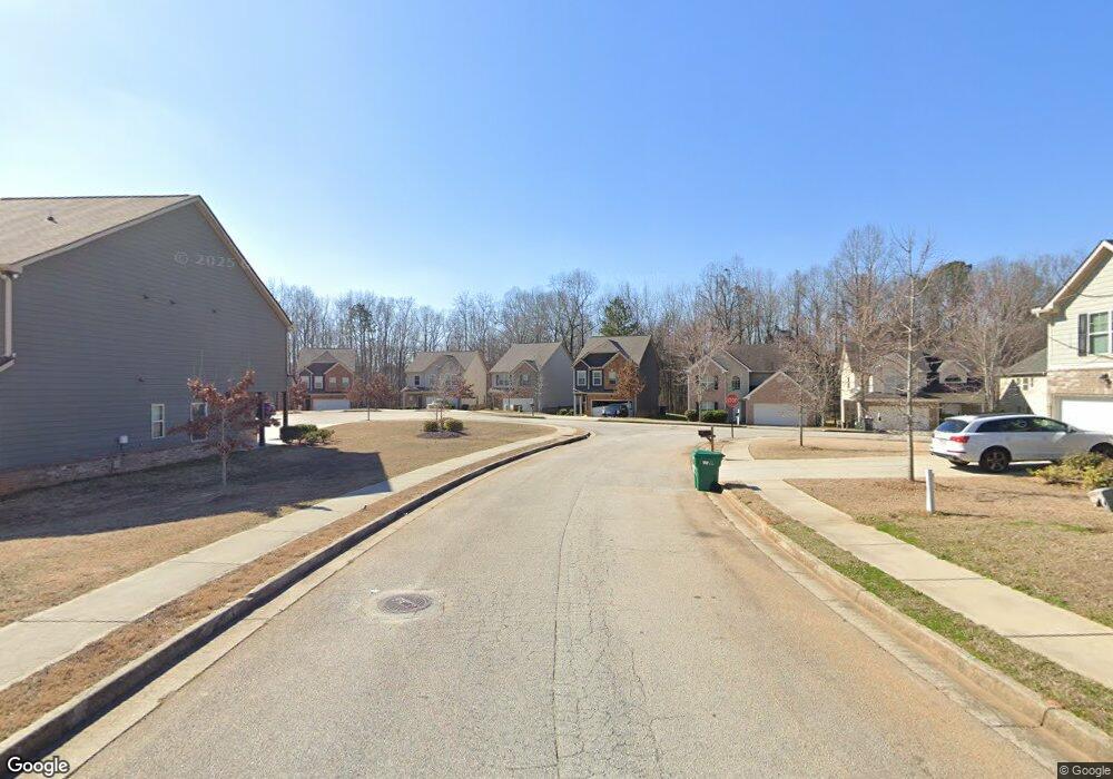
0 Nutwood Trace Unit 7024011 Locust Grove, GA 30248
Estimated Value: $258,000 - $291,000
3
Beds
3
Baths
1,780
Sq Ft
$156/Sq Ft
Est. Value
About This Home
This home is located at 0 Nutwood Trace Unit 7024011, Locust Grove, GA 30248 and is currently estimated at $277,855, approximately $156 per square foot. 0 Nutwood Trace Unit 7024011 is a home located in Henry County with nearby schools including Locust Grove Elementary School, Locust Grove Middle School, and Locust Grove High School.
Ownership History
Date
Name
Owned For
Owner Type
Purchase Details
Closed on
Mar 18, 2020
Sold by
Spector Flock Noa
Bought by
Progress Atlanta Llc
Current Estimated Value
Purchase Details
Closed on
Nov 21, 2017
Sold by
Safe Frture Real Estate In
Bought by
Spector-Flock Noa
Purchase Details
Closed on
Aug 17, 2017
Sold by
Not Provided
Bought by
Safe Frture Real Estate Invest
Purchase Details
Closed on
Jul 14, 2014
Sold by
Heritage Bank
Bought by
Neda Investments Llc
Create a Home Valuation Report for This Property
The Home Valuation Report is an in-depth analysis detailing your home's value as well as a comparison with similar homes in the area
Home Values in the Area
Average Home Value in this Area
Purchase History
| Date | Buyer | Sale Price | Title Company |
|---|---|---|---|
| Progress Atlanta Llc | $202,000 | -- | |
| Spector-Flock Noa | $64,000 | -- | |
| Safe Frture Real Estate Invest | $302,500 | -- | |
| Neda Investments Llc | $143,000 | -- |
Source: Public Records
Tax History Compared to Growth
Tax History
| Year | Tax Paid | Tax Assessment Tax Assessment Total Assessment is a certain percentage of the fair market value that is determined by local assessors to be the total taxable value of land and additions on the property. | Land | Improvement |
|---|---|---|---|---|
| 2025 | $4,798 | $123,240 | $15,103 | $108,137 |
| 2024 | $4,798 | $123,240 | $16,000 | $107,240 |
| 2023 | $4,453 | $122,960 | $16,000 | $106,960 |
| 2022 | $3,299 | $90,240 | $16,000 | $74,240 |
| 2021 | $2,719 | $74,040 | $16,000 | $58,040 |
| 2020 | $2,662 | $72,480 | $13,000 | $59,480 |
| 2019 | $442 | $12,000 | $12,000 | $0 |
| 2018 | $336 | $9,200 | $9,200 | $0 |
| 2016 | $283 | $7,760 | $7,760 | $0 |
| 2015 | $190 | $5,040 | $5,040 | $0 |
| 2014 | $100 | $2,640 | $2,640 | $0 |
Source: Public Records
Map
Nearby Homes
- 380 Higgins Rd
- 198 Aster Ave
- 194 Aster Ave
- 501 Vervain Dr
- 501 Kirkland Dr
- 190 Aster Ave
- 505 Kirkland Dr
- 191 Aster Ave
- 186 Aster Ave
- 505 Vervain Dr
- 608 Lobelia Dr
- 182 Aster Ave
- 178 Aster Ave
- 269 Baumgard Way
- 188 Sophie Cir
- 150 Aster Ave
- Cali Plan at Cedar Ridge - Locust Grove Station
- Belfort Plan at Cedar Ridge - Locust Grove Station
- Galen Plan at Cedar Ridge - Locust Grove Station
- Hayden Plan at Cedar Ridge - Locust Grove Station
- 0 Nutwood Trace Unit 3146922
- 0 Nutwood Trace Unit 3225333
- 0 Nutwood Trace Unit 7023933
- 0 Nutwood Trace Unit 8702373
- 0 Nutwood Trace Unit 3225393
- 0 Nutwood Trace Unit 8769300
- 0 Nutwood Trace Unit 8771147
- 726 Nutwood Trace
- 317 Nutwood Trace
- 313 Nutwood Trace
- 321 Nutwood Trace
- 1232 Nutwood Trace
- 1232 Nutwood Trace Unit 97
- 1221 Nutwood Trace
- 1221 Nutwood Trace Unit 94
- 1236 Nutwood Trace
- 1228 Nutwood Trace
- 1224 Nutwood Trace
- 1224 Nutwood Trace Unit 95
- 1228 Nutwood Trace Unit 96