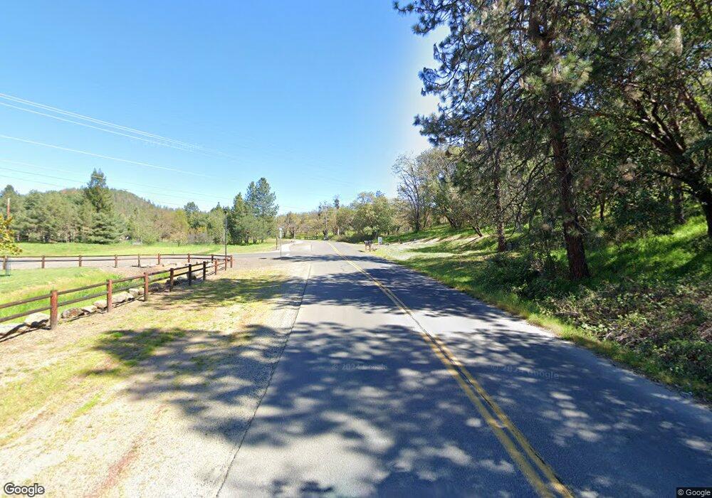
0 Pair A Dice Ranch Rd Unit 102915133 Jacksonville, OR 97530
--
Bed
--
Bath
--
Sq Ft
30
Acres
About This Home
This home is located at 0 Pair A Dice Ranch Rd Unit 102915133, Jacksonville, OR 97530. 0 Pair A Dice Ranch Rd Unit 102915133 is a home located in Jackson County with nearby schools including Jacksonville Elementary School, McLoughlin Middle School, and South Medford High School.
Ownership History
Date
Name
Owned For
Owner Type
Purchase Details
Closed on
Jul 24, 2013
Sold by
Hubro Granite Llc
Bought by
Hughes Bros Cost
Purchase Details
Closed on
Jul 11, 2013
Sold by
Weathers E Gary and Weathers Robin L
Bought by
Hubro Granite Llc
Purchase Details
Closed on
Aug 22, 2011
Sold by
Hubro Granite Llc
Bought by
Weathers E Gary and Weathers Robin L
Home Financials for this Owner
Home Financials are based on the most recent Mortgage that was taken out on this home.
Original Mortgage
$300,000
Interest Rate
4.43%
Mortgage Type
Seller Take Back
Purchase Details
Closed on
Nov 10, 2005
Sold by
Groom George L and Groom Marie
Bought by
Hubro Granite Llc
Home Financials for this Owner
Home Financials are based on the most recent Mortgage that was taken out on this home.
Original Mortgage
$340,000
Interest Rate
5.9%
Mortgage Type
Purchase Money Mortgage
Create a Home Valuation Report for This Property
The Home Valuation Report is an in-depth analysis detailing your home's value as well as a comparison with similar homes in the area
Home Values in the Area
Average Home Value in this Area
Purchase History
| Date | Buyer | Sale Price | Title Company |
|---|---|---|---|
| Hughes Bros Cost | -- | None Available | |
| Hubro Granite Llc | $300,000 | None Available | |
| Weathers E Gary | $300,000 | Amerititle | |
| Hubro Granite Llc | $550,000 | Amerititle | |
| Groom George L | -- | -- |
Source: Public Records
Mortgage History
| Date | Status | Borrower | Loan Amount |
|---|---|---|---|
| Previous Owner | Weathers E Gary | $300,000 | |
| Previous Owner | Hubro Granite Llc | $340,000 |
Source: Public Records
Tax History Compared to Growth
Tax History
| Year | Tax Paid | Tax Assessment Tax Assessment Total Assessment is a certain percentage of the fair market value that is determined by local assessors to be the total taxable value of land and additions on the property. | Land | Improvement |
|---|---|---|---|---|
| 2025 | $949 | $96,670 | $96,670 | -- |
| 2024 | $949 | $93,860 | $93,860 | -- |
| 2023 | $927 | $91,130 | $91,130 | $0 |
| 2022 | $890 | $91,130 | $91,130 | $0 |
| 2021 | $865 | $88,480 | $88,480 | $0 |
| 2020 | $844 | $85,910 | $85,910 | $0 |
| 2019 | $822 | $80,990 | $80,990 | $0 |
| 2018 | $800 | $78,640 | $78,640 | $0 |
| 2017 | $793 | $78,640 | $78,640 | $0 |
| 2016 | $779 | $74,130 | $74,130 | $0 |
| 2015 | $752 | $74,130 | $74,130 | $0 |
| 2014 | $742 | $69,890 | $69,890 | $0 |
Source: Public Records
Map
Nearby Homes
- 1528 Morton Way
- 465 Strawberry Hill Ln
- 4075 Livingston Rd
- 440 Richard Way
- 321 Pair A Dice Ranch Rd
- 791 Oregon 238
- 560 Woodberry Ln
- 1916 Old Military Rd
- 325 Jackson Creek Dr
- 245 Jackson Creek Dr
- 480 N Oregon St
- 802 Steepleview Dr
- 440 N 4th St Unit 103
- 440 N 4th St Unit 104
- 195 E St
- 1055 N 5th St Unit 79
- 1055 N 5th St Unit 15
- 375 W Elm St
- 415 E C St
- 2555 Old Military Rd
- 0 Pair-A-dice Ranch Rd Unit 100230954
- 0 Pair-A-dice Ranch Rd Unit 400 220175918
- 0 Pair-A-dice Ranch Rd Unit 102913640
- 0 Pair-A-dice Ranch Rd Unit 102916570
- 0 Pair-A-dice Ranch Rd Unit 102946139
- 0 Pair-A-dice Ranch Rd Unit 102988472
- 1000 Morton Way
- 1000 Morton Way
- 2459 Pair A Dice Ranch Rd
- 520 Morton Way
- 4065 Livingston Rd
- 495 Morton Way
- 500 Morton Way
- 455 Morton Way
- 4243 Livingston Rd
- 4111 Livingston Rd
- 400 Morton Way
- 4225 Livingston Rd
- 412 Hodson Rd
- 465 Strawberry Hill Dr
