0 Parcel A Sanderson Trail Unit 65019054538 Greenville, MI 48838
Estimated Value: $66,000 - $342,000
--
Bed
--
Bath
--
Sq Ft
2.8
Acres
About This Home
This home is located at 0 Parcel A Sanderson Trail Unit 65019054538, Greenville, MI 48838 and is currently estimated at $204,000. 0 Parcel A Sanderson Trail Unit 65019054538 is a home located in Montcalm County with nearby schools including Greenville Senior High School and St. Charles Elementary School.
Ownership History
Date
Name
Owned For
Owner Type
Purchase Details
Closed on
May 1, 2013
Sold by
Vanoverloop James A
Bought by
Vanoverloop James A and James A Van Overloop Protection Trust
Current Estimated Value
Purchase Details
Closed on
Dec 20, 2007
Sold by
Joiner Llc
Bought by
Vanoverloop James
Purchase Details
Closed on
Nov 14, 2006
Sold by
Wesley Dionne
Bought by
Joiner Llc
Purchase Details
Closed on
Aug 24, 2006
Sold by
Sanderson Lake Llc
Bought by
Wesley Dionne
Purchase Details
Closed on
Mar 1, 2006
Sold by
Sanderson Lake Llc
Bought by
Montcalm County Treasurer
Purchase Details
Closed on
May 31, 2005
Sold by
Earth & Water Development Llc
Bought by
Sanderson Lake Llc
Purchase Details
Closed on
Jul 22, 2003
Sold by
Sanderson Lake Llc
Bought by
Earth & Water Development Llc
Create a Home Valuation Report for This Property
The Home Valuation Report is an in-depth analysis detailing your home's value as well as a comparison with similar homes in the area
Home Values in the Area
Average Home Value in this Area
Purchase History
| Date | Buyer | Sale Price | Title Company |
|---|---|---|---|
| Vanoverloop James A | -- | None Available | |
| Vanoverloop James | $15,000 | None Available | |
| Vanoverloop James | $15,000 | -- | |
| Joiner Llc | -- | -- | |
| Wesley Dionne | -- | -- | |
| Montcalm County Treasurer | -- | -- | |
| Sanderson Lake Llc | $100 | -- | |
| Earth & Water Development Llc | $40,000 | -- |
Source: Public Records
Tax History Compared to Growth
Tax History
| Year | Tax Paid | Tax Assessment Tax Assessment Total Assessment is a certain percentage of the fair market value that is determined by local assessors to be the total taxable value of land and additions on the property. | Land | Improvement |
|---|---|---|---|---|
| 2025 | $342 | $8,200 | $0 | $0 |
| 2024 | $336 | $8,200 | $0 | $0 |
| 2023 | -- | $8,200 | $0 | $0 |
| 2022 | -- | $7,800 | $0 | $0 |
| 2021 | -- | $7,800 | $0 | $0 |
| 2020 | -- | -- | $0 | $0 |
| 2019 | -- | -- | $0 | $0 |
| 2018 | -- | -- | $0 | $0 |
| 2017 | -- | -- | $0 | $0 |
| 2016 | -- | -- | $0 | $0 |
| 2015 | -- | -- | $0 | $0 |
| 2014 | -- | -- | $0 | $0 |
Source: Public Records
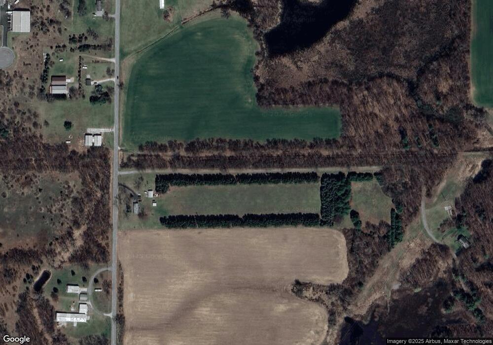
Map
Nearby Homes
- 8040 S Backus Rd
- V/L Industrial Park Dr
- 814 E Coffren Ave
- 1008 Cedarwood St
- 1005 Cedarwood St
- 716 E Oak St
- 1008 Cedarwood Dr
- 1005 Cedarwood Dr
- 503 E Water St
- 1204 Cedarwood St
- 1206 Cedarwood St
- Integrity 2000 Plan at Edgewood Pines North
- Integrity 1910 Plan at Edgewood Pines North
- Integrity 1750 Plan at Edgewood Pines North
- Elements 2700 Plan at Edgewood Pines North - Elements
- Integrity 1800 Plan at Edgewood Pines North
- Elements 2090 Plan at Edgewood Pines North - Elements
- Elements 1870 Plan at Edgewood Pines North - Elements
- Elements 1680 Plan at Edgewood Pines North - Elements
- Integrity 1520 Plan at Edgewood Pines North
- 0 Parcel A Sanderson Trail Unit 19054538
- 7168 Sanderson Trail
- 7124 Sanderson Trail
- 0 Parcel G Sanderson Trail Unit 65019054539
- 0 Parcel G Sanderson Trail Unit 19054539
- 7429 Backus Rd
- 0 Sanderson Trail Unit 71013052965
- 0 Sanderson Trail Unit 65016057765
- 0 Sanderson Trail Unit M13052968
- 0 Sanderson Trail Unit M13052965
- 0 Sanderson Trail Unit M16057765
- 0 Sanderson Trail Unit LOT F 3413331
- 0 Sanderson Trail Unit LOT A 3413333
- 0 Sanderson Trail Unit LOT G 3413329
- 0 Sanderson Trail Unit LOT D 3413332
- 0 Sanderson Trail Unit LOT C 3413327
- 0 Sanderson Trail Unit PAR B 3350262
- 0 Sanderson Trail Unit PAR 4 3323392
- 0 Sanderson Trail
- 0 Sanderson Trail