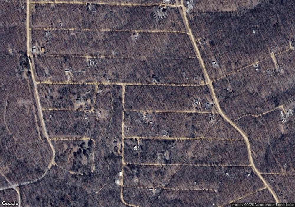
0 Pheasant Dr Unit 25752534 Other, AR 72482
Estimated Value: $80,000 - $142,000
Studio
--
Bath
--
Sq Ft
6,098
Sq Ft Lot
About This Home
This home is located at 0 Pheasant Dr Unit 25752534, Other, AR 72482 and is currently estimated at $111,000. 0 Pheasant Dr Unit 25752534 is a home located in Sharp County with nearby schools including Cherokee Elementary School, Highland Middle School, and Highland High School.
Ownership History
Date
Name
Owned For
Owner Type
Purchase Details
Closed on
Jan 3, 2025
Sold by
Foust Frank
Bought by
Philpott Patricia
Current Estimated Value
Purchase Details
Closed on
Dec 1, 2022
Sold by
Ettel Curtis
Bought by
Foust Frank
Purchase Details
Closed on
May 8, 2021
Sold by
The Fairgreen Fields Trust
Bought by
Ettel Curt
Purchase Details
Closed on
Sep 22, 2010
Sold by
The Green Goose Inc
Bought by
Khan Sohel Anjum and Ishtiaq Ambreen
Purchase Details
Closed on
Apr 29, 2010
Sold by
Commissioner Of State Lands
Bought by
The Green Goose Inc
Create a Home Valuation Report for This Property
The Home Valuation Report is an in-depth analysis detailing your home's value as well as a comparison with similar homes in the area
Purchase History
| Date | Buyer | Sale Price | Title Company |
|---|---|---|---|
| Philpott Patricia | $8,000 | Homestead Title | |
| Philpott Patricia | $8,000 | Homestead Title | |
| Foust Frank | -- | Homestead Abstract & Title | |
| Foust Frank | -- | Homestead Abstract & Title | |
| Ettel Curt | $1,750 | None Available | |
| Khan Sohel Anjum | $1,000 | None Available | |
| The Green Goose Inc | -- | None Available |
Source: Public Records
Tax History Compared to Growth
Tax History
| Year | Tax Paid | Tax Assessment Tax Assessment Total Assessment is a certain percentage of the fair market value that is determined by local assessors to be the total taxable value of land and additions on the property. | Land | Improvement |
|---|---|---|---|---|
| 2025 | $7 | $200 | $200 | $0 |
| 2024 | $7 | $200 | $200 | $0 |
| 2023 | $7 | $200 | $200 | $0 |
| 2022 | $7 | $200 | $200 | $0 |
| 2021 | $7 | $200 | $200 | $0 |
| 2020 | $7 | $200 | $200 | $0 |
| 2019 | $7 | $200 | $200 | $0 |
| 2018 | $7 | $200 | $200 | $0 |
| 2017 | $7 | $0 | $0 | $0 |
| 2016 | $0 | $200 | $200 | $0 |
| 2015 | -- | $200 | $200 | $0 |
| 2014 | -- | $200 | $200 | $0 |
| 2013 | -- | $200 | $200 | $0 |
Source: Public Records
Map
Nearby Homes
- 25 Cardinal Hill
- 51 Oriole Dr
- 0 Pheasant Cir
- Lot 25-24 Thrush Dr
- 21 Whippoorwill Cir
- TBD Hawthorne Dr
- XX Summit Ridge Dr
- Lot 6 Oak Ln
- Lot 4 Oak Ln
- 120 Frontier Dr
- 0 Newman Trail
- 1 Deer Trail
- 21 Nocturne Dr
- 295 S Summit Ridge Dr
- 9 Summit Ridge Cir
- Lot 11 Mimosa Ln
- 10 Dogwood Trail
- Lot 5 Buckboard Ln
- Lots 1-3 Acres Rd
- 000 Acres Rd
- 0 Pheasant Dr Unit 58013811
- 35 Pheasant Dr
- 29 Oriole Dr
- 664 Newman Trail
- Lot 26 Pheasant Dr
- 58 Oriole Dr
- Lots 3-4 Cardinal Hill
- 0 Cardinal Hill
- 9 Pheasant Dr
- Lot 26-16 Hitching Post Dr
- Lot 5 Cardinal Hill Dr
- 16 Hitching Post Rd Unit A
- Lot 20 Robinhood Dr
- 1 Pheasant Dr
- 32 Woodcock Rd
- 7 Quail Trail
- Lots 19-20 Quail Dr
- Lots 19-20 Quail Dr
- Lot 22-12 Quail Dr
- Lot 22-12 Quail Dr
