0 R Path Unit 7781547 Cotopaxi, CO 81223
Estimated Value: $430,953 - $460,000
2
Beds
2
Baths
1,854
Sq Ft
$239/Sq Ft
Est. Value
About This Home
This home is located at 0 R Path Unit 7781547, Cotopaxi, CO 81223 and is currently estimated at $442,738, approximately $238 per square foot. 0 R Path Unit 7781547 is a home located in Fremont County with nearby schools including Cotopaxi Elementary School and Cotopaxi Junior/Senior High School.
Ownership History
Date
Name
Owned For
Owner Type
Purchase Details
Closed on
Jun 6, 2018
Sold by
Adkins James F and Adkins Maura
Bought by
Zuidema Myron J and Zuidema Sharon L
Current Estimated Value
Purchase Details
Closed on
Aug 14, 2006
Sold by
Little Bear Llc
Bought by
Adkins James F and Adkins Maura
Home Financials for this Owner
Home Financials are based on the most recent Mortgage that was taken out on this home.
Original Mortgage
$123
Interest Rate
6.77%
Mortgage Type
Purchase Money Mortgage
Purchase Details
Closed on
Jan 2, 2005
Sold by
Sedoris Jack E and Sedoris Clara M
Bought by
Little Bear Llc Co
Purchase Details
Closed on
Mar 24, 1964
Sold by
Flo Colo Acres
Bought by
Sedoris
Create a Home Valuation Report for This Property
The Home Valuation Report is an in-depth analysis detailing your home's value as well as a comparison with similar homes in the area
Home Values in the Area
Average Home Value in this Area
Purchase History
| Date | Buyer | Sale Price | Title Company |
|---|---|---|---|
| Zuidema Myron J | -- | Unified Title Co | |
| Zuidema Myron J | $8,500 | Unified Title Co | |
| Adkins James F | $12,500 | None Available | |
| Little Bear Llc Co | $5,000 | None Available | |
| Sedoris | -- | -- |
Source: Public Records
Mortgage History
| Date | Status | Borrower | Loan Amount |
|---|---|---|---|
| Previous Owner | Adkins James F | $123 |
Source: Public Records
Tax History Compared to Growth
Tax History
| Year | Tax Paid | Tax Assessment Tax Assessment Total Assessment is a certain percentage of the fair market value that is determined by local assessors to be the total taxable value of land and additions on the property. | Land | Improvement |
|---|---|---|---|---|
| 2024 | $836 | $21,330 | $0 | $0 |
| 2023 | $836 | $17,250 | $0 | $0 |
| 2022 | $633 | $13,633 | $0 | $0 |
| 2021 | $637 | $14,026 | $0 | $0 |
| 2020 | $522 | $11,714 | $0 | $0 |
| 2019 | $116 | $2,601 | $2,601 | $0 |
| 2018 | $104 | $2,327 | $0 | $0 |
| 2017 | $104 | $2,327 | $0 | $0 |
| 2016 | $103 | $2,320 | $0 | $0 |
| 2015 | $103 | $2,320 | $0 | $0 |
| 2012 | -- | $2,900 | $2,900 | $0 |
Source: Public Records
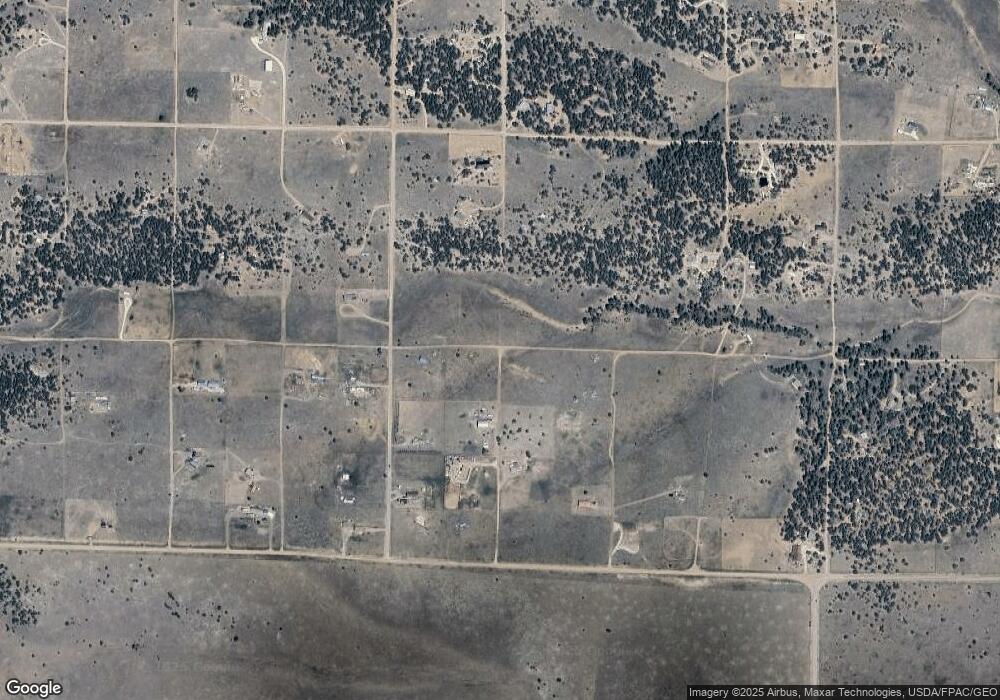
Map
Nearby Homes
- 1812 17th Trail
- 1838 17th Trail
- 876 Q Path
- 1839 19th Trail
- 1888 19th Trail
- TBD 20th Trail
- TBD 21st Trail
- 1263 23rd Trail
- TR-36 23rd Trail
- 1739 17th Trail
- 1204 Hitching Post Rd
- 0 Trail
- 2225 P Path
- 1204 Hitching Post Rd
- 1712 9th Trail
- 0 Q Path Unit REC8928071
- 0 Q Path Unit 7992612
- Lot 90 7th Trail
- TBD 7th Trail
- Lot 100 7th Trail
- 0 R Path Unit 3685089
- 1787 17th Trail
- 0 R Path Unit 1991254
- 0 R Path Unit REC6340149
- TR-83 17th Trail
- TR-83 17th Trail Unit TR-83
- 1813 17th Trail Unit 47
- 1813 17th Trail
- 0 R Path Unit 4451519
- 1738 16th Trail
- 1738 16th Trail Unit TR57
- 1863 17th Trail
- 1526 R Path
- 1862 17th Trail
- 1863 18th Trail
- 1863 16th Trail Unit 61
- 1712 17th Trail
- 1638 17th Trail
- 1887 17th Trail