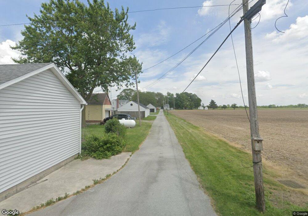
0 Railroad St Custar, OH 43511
Estimated Value: $59,000 - $142,000
Studio
--
Bath
--
Sq Ft
5,009
Sq Ft Lot
About This Home
This home is located at 0 Railroad St, Custar, OH 43511 and is currently estimated at $100,500. 0 Railroad St is a home with nearby schools including Bowling Green High School.
Ownership History
Date
Name
Owned For
Owner Type
Purchase Details
Closed on
Nov 16, 2006
Sold by
First Federal Bank Of The Midwest
Bought by
Crawford Stephen W and Crawford Mary Ann
Current Estimated Value
Purchase Details
Closed on
Feb 9, 2006
Sold by
Villarreal Ernesto
Bought by
First Federal Bank Of The Midwest
Purchase Details
Closed on
May 1, 2001
Sold by
Villarreal Ernesto
Bought by
Villarreal Rosemarie
Purchase Details
Closed on
Oct 27, 1999
Sold by
Bumpus Richard M and Bumpus Ada R
Bought by
Bumpus Ada M and The Bumpus Revocable Living Trust
Purchase Details
Closed on
Jan 1, 1990
Bought by
Bumpus Richard M
Create a Home Valuation Report for This Property
The Home Valuation Report is an in-depth analysis detailing your home's value as well as a comparison with similar homes in the area
Purchase History
| Date | Buyer | Sale Price | Title Company |
|---|---|---|---|
| Crawford Stephen W | $17,000 | American Title Agency | |
| First Federal Bank Of The Midwest | $40,000 | None Available | |
| Villarreal Rosemarie | -- | -- | |
| Villarreal Ii Ernesto | -- | -- | |
| Villarreal Rosemarie | -- | -- | |
| Bumpus Ada M | -- | -- | |
| Bumpus Richard M | -- | -- |
Source: Public Records
Tax History
| Year | Tax Paid | Tax Assessment Tax Assessment Total Assessment is a certain percentage of the fair market value that is determined by local assessors to be the total taxable value of land and additions on the property. | Land | Improvement |
|---|---|---|---|---|
| 2025 | $41 | $875 | $875 | -- |
| 2024 | $41 | $875 | $875 | -- |
| 2023 | $41 | $880 | $880 | $0 |
| 2021 | $36 | $740 | $740 | $0 |
| 2020 | $35 | $740 | $740 | $0 |
| 2019 | $36 | $740 | $740 | $0 |
| 2018 | $36 | $740 | $740 | $0 |
| 2017 | $47 | $740 | $740 | $0 |
| 2016 | $56 | $1,160 | $1,160 | $0 |
| 2015 | $58 | $1,160 | $1,160 | $0 |
| 2014 | -- | $1,160 | $1,160 | $0 |
| 2013 | $65 | $1,160 | $1,160 | $0 |
Source: Public Records
Map
Nearby Homes
- 22759 Defiance Pike
- 21490 Portage Rd
- 24642 Hammansburg Rd Unit 309-0700
- 20175 Taylor St
- 20280 Locust St
- 13439 Ash St
- 117 Meadow Ln
- 115 Meadow Ln
- 113 N Meadow Ln
- 116 Meadow Ln
- 119 N Harvest St
- 112 N Harvest Dr
- 121 N Harvest St
- 118 N Harvest Dr
- 120 N Harvest Dr
- 102 N Harvest Dr
- 107 N Harvest St
- 125 N Harvest Dr
- 117 N Harvest St
- 123 N Harvest St
- 9042 Railroad
- 22885 Defiance Pike
- 22885 Main St
- 22879 Defiance Pike
- 22879 Perry St
- 22867 Defiance Pike
- 22938 Main St
- 8952 Custar Rd
- 22886 Defiance Pike
- 22855 Defiance Pike
- 22868 Defiance Pike
- 22984 Main St
- 22856 Main St
- 8924 Custar Rd
- 22797 Defiance Pike
- 22883 Defiance Pike
- 22990 Defiance Pike
- 22823 Main St
- 00 Custar
- 8906 Custar Rd
Your Personal Tour Guide
Ask me questions while you tour the home.