--
Bed
--
Bath
--
Sq Ft
47
Acres
About This Home
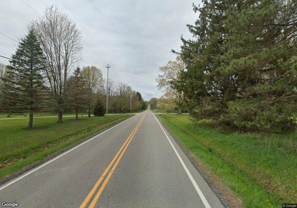
This home is located at 0 Rapids Rd Unit 4382791, Hiram, OH 44234. 0 Rapids Rd Unit 4382791 is a home located in Geauga County with nearby schools including Berkshire Elementary School and Berkshire High School.
Ownership History
Date
Name
Owned For
Owner Type
Purchase Details
Closed on
Sep 8, 2022
Sold by
Windsor Road Land Llc
Bought by
Miller Noah J and Miller Robert N
Purchase Details
Closed on
May 7, 2022
Sold by
Phelan Katherine B and Phelan Harold A
Bought by
Windsor Road Land Llc
Purchase Details
Closed on
Jan 1, 1990
Bought by
Phelan Harold A Trustee
Create a Home Valuation Report for This Property
The Home Valuation Report is an in-depth analysis detailing your home's value as well as a comparison with similar homes in the area
Home Values in the Area
Average Home Value in this Area
Purchase History
| Date | Buyer | Sale Price | Title Company |
|---|---|---|---|
| Miller Noah J | $225,000 | -- | |
| Windsor Road Land Llc | -- | None Listed On Document | |
| Phelan Harold A Trustee | -- | -- |
Source: Public Records
Tax History Compared to Growth
Tax History
| Year | Tax Paid | Tax Assessment Tax Assessment Total Assessment is a certain percentage of the fair market value that is determined by local assessors to be the total taxable value of land and additions on the property. | Land | Improvement |
|---|---|---|---|---|
| 2024 | $2,669 | $65,490 | $65,490 | $0 |
| 2023 | $2,669 | $65,490 | $65,490 | $0 |
| 2022 | $2,669 | $57,790 | $57,790 | $0 |
| 2021 | $2,688 | $57,790 | $57,790 | $0 |
| 2020 | $2,559 | $57,790 | $57,790 | $0 |
| 2019 | $245 | $57,790 | $57,790 | $0 |
| 2018 | $2,665 | $57,790 | $57,790 | $0 |
| 2017 | $2,453 | $57,790 | $57,790 | $0 |
| 2016 | $2,443 | $57,790 | $57,790 | $0 |
| 2015 | $2,444 | $57,790 | $57,790 | $0 |
| 2014 | $2,282 | $57,790 | $57,790 | $0 |
| 2013 | $2,293 | $57,790 | $57,790 | $0 |
Source: Public Records
Map
Nearby Homes
- 18400 Shaw Rd
- 30 Cardinal Dr
- 19109 Tilden Rd
- 151 Oaktree Ln
- 142 Oaktree Ln
- 76 Cardinal Dr
- 14020 Kimpton Trail
- 11945 Ladue Trail
- 11830 Starbush Ct
- 11611 E Washington St
- 18420 May Ct
- 17072 Ravenna Rd
- 16949 Ravenna Rd
- SR 82 Ohio 82
- 0 Garfield Rd
- 6846 Wakefield Rd
- 7991 Norton Rd
- 16310 Valley Rd
- 16195 Snow Rd
- 16374 Ravenna Rd
- 18550 Rapids Rd
- 13000 Winagle Rd
- 18531 Rapids Rd
- 18530 Rapids Rd
- 18572 Rapids Rd
- 18635 Rapids Rd
- 18510 Rapids Rd
- 18519 Rapids Rd
- 13009 Winagle Rd
- 18655 Rapids Rd
- 18490 Rapids Rd
- 12954 Winagle Rd
- 18491 Fox Rd
- V/L Rapids Rd
- 18460 Rapids Rd
- 13010 Greystone Dr
- 12945 Winagle Rd
- 18439 Rapids Rd
- 18440 Rapids Rd
- 18485 Fox Rd