0 Remington Rd Unit 7345608 Cleveland, GA 30528
Estimated Value: $342,000 - $1,822,075
1
Bed
1
Bath
956
Sq Ft
$1,132/Sq Ft
Est. Value
About This Home
This home is located at 0 Remington Rd Unit 7345608, Cleveland, GA 30528 and is currently estimated at $1,082,038, approximately $1,131 per square foot. 0 Remington Rd Unit 7345608 is a home located in Lumpkin County with nearby schools including Lumpkin County High School.
Ownership History
Date
Name
Owned For
Owner Type
Purchase Details
Closed on
May 14, 2019
Sold by
Bsk Holdings Llc
Bought by
Bci Advisors Ltd
Current Estimated Value
Purchase Details
Closed on
Jun 8, 2009
Sold by
Ge Mcfarland & Co Llc
Bought by
Bsk Holdings Llc
Purchase Details
Closed on
Mar 27, 2008
Sold by
Not Provided
Bought by
Bsk Holdings Llc
Purchase Details
Closed on
Mar 14, 2008
Sold by
Not Provided
Bought by
Bsk Holdings Llc
Purchase Details
Closed on
Mar 26, 2002
Sold by
Keoster Dean and Keoster Kara
Bought by
Cannon Falls Lodge Llc
Create a Home Valuation Report for This Property
The Home Valuation Report is an in-depth analysis detailing your home's value as well as a comparison with similar homes in the area
Home Values in the Area
Average Home Value in this Area
Purchase History
| Date | Buyer | Sale Price | Title Company |
|---|---|---|---|
| Bci Advisors Ltd | -- | -- | |
| Bsk Holdings Llc | -- | -- | |
| Bsk Holdings Llc | -- | -- | |
| Bsk Holdings Llc | $900,000 | -- | |
| Cannon Falls Lodge | $900,000 | -- | |
| Cannon Falls Lodge Llc | $1,049,000 | -- |
Source: Public Records
Tax History Compared to Growth
Tax History
| Year | Tax Paid | Tax Assessment Tax Assessment Total Assessment is a certain percentage of the fair market value that is determined by local assessors to be the total taxable value of land and additions on the property. | Land | Improvement |
|---|---|---|---|---|
| 2024 | $12,711 | $540,377 | $86,117 | $454,260 |
| 2023 | $3,604 | $153,215 | $100,556 | $52,659 |
| 2022 | $2,935 | $118,561 | $80,300 | $38,261 |
| 2021 | $3,035 | $118,561 | $80,300 | $38,261 |
| 2020 | $3,128 | $118,561 | $80,300 | $38,261 |
| 2019 | $3,171 | $119,116 | $80,300 | $38,816 |
| 2018 | $3,249 | $114,506 | $80,300 | $34,206 |
| 2017 | $3,274 | $113,173 | $80,300 | $32,873 |
| 2016 | $3,275 | $109,521 | $80,300 | $29,221 |
| 2015 | $2,887 | $109,521 | $80,300 | $29,221 |
| 2014 | $2,887 | $109,521 | $80,300 | $29,221 |
| 2013 | -- | $91,099 | $80,299 | $10,799 |
Source: Public Records
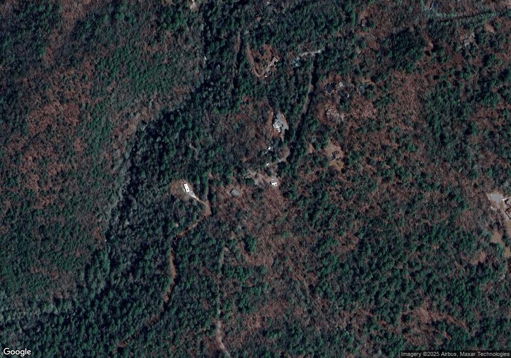
Map
Nearby Homes
- 15103 Highway 19 N
- 275 Corinth Church Rd
- 0 Corinth Church Rd Unit 413322
- 0 Corinth Church Rd Unit 10463002
- 0 Corinth Church Rd Unit 7527787
- 802 Pine Knot Dr
- 0 Highway 129 N Unit 10623203
- 0 Highway 129 N Unit 10601810
- 147 Hester Gap Rd
- 532 Highland Trail
- 310 Highland Trail
- 129 Pine Rd
- 31 Pine Rd
- 457 Celie Ann Seabolt Rd
- 0 Paradise Valley Rd Unit 10468779
- 0 Harkins Rd Unit 10533789
- 0 Harkins Rd Unit 7588388
- 11161 Highway 19 N
- 0 Damascus Church Rd Unit 21674636
- T S T S Jarrard Rd
- 607 Remington Rd
- 597 Remington Rd
- 14965 Highway 19 N
- 14683 Highway 19 N
- 1247 Remington Rd
- 14910 U S Highway 19
- 330 Turners Campsite Rd
- 277 Corinth Church Rd
- 14910 Highway 19 N
- 14351 Highway 19 N
- 14910 U S 19
- 269 Corinth Church Rd
- 15105 Highway 19 N
- 279 Corinth Church Rd
- 15105 N 19th St
- 15105 U S Highway 19
- 15105 U S 19
- 492 Dicks Creek Rd
- 606 Remington Rd
- 196 Turners Campsite Rd