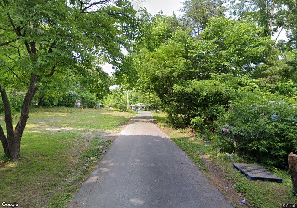
0 Rosenwold St Unit 1266621 Rossville, GA 30741
Estimated Value: $13,000 - $202,000
--
Bed
--
Bath
--
Sq Ft
2.06
Acres
About This Home
This home is located at 0 Rosenwold St Unit 1266621, Rossville, GA 30741 and is currently estimated at $135,000. 0 Rosenwold St Unit 1266621 is a home located in Walker County with nearby schools including Stone Creek Elementary School, Rossville Middle School, and Ridgeland High School.
Ownership History
Date
Name
Owned For
Owner Type
Purchase Details
Closed on
Apr 25, 2022
Sold by
Long Nathaniel
Bought by
Fairbanks David T
Current Estimated Value
Purchase Details
Closed on
Nov 8, 2018
Sold by
Long Ike Lee
Bought by
Long Nathaniel
Purchase Details
Closed on
Dec 30, 1994
Sold by
Long Estella
Bought by
Long Ike Lee and Long Nathaniel
Purchase Details
Closed on
Jan 1, 1972
Bought by
Long Estella
Create a Home Valuation Report for This Property
The Home Valuation Report is an in-depth analysis detailing your home's value as well as a comparison with similar homes in the area
Home Values in the Area
Average Home Value in this Area
Purchase History
| Date | Buyer | Sale Price | Title Company |
|---|---|---|---|
| Fairbanks David T | -- | -- | |
| Long Nathaniel | -- | -- | |
| Long Ike Lee | -- | -- | |
| Long Estella | -- | -- |
Source: Public Records
Tax History Compared to Growth
Tax History
| Year | Tax Paid | Tax Assessment Tax Assessment Total Assessment is a certain percentage of the fair market value that is determined by local assessors to be the total taxable value of land and additions on the property. | Land | Improvement |
|---|---|---|---|---|
| 2024 | $64 | $3,143 | $3,143 | $0 |
| 2023 | $65 | $3,143 | $3,143 | $0 |
| 2022 | $73 | $3,143 | $3,143 | $0 |
| 2021 | $81 | $3,143 | $3,143 | $0 |
| 2020 | $84 | $3,139 | $3,139 | $0 |
| 2019 | $85 | $3,139 | $3,139 | $0 |
| 2018 | $83 | $3,149 | $3,149 | $0 |
| 2017 | $126 | $4,198 | $4,198 | $0 |
| 2016 | $103 | $4,198 | $4,198 | $0 |
| 2015 | $103 | $3,968 | $3,968 | $0 |
| 2014 | $100 | $3,968 | $3,968 | $0 |
| 2013 | -- | $3,968 | $3,968 | $0 |
Source: Public Records
Map
Nearby Homes
- 0 Gate St
- 01 7th St
- 109 7th St
- 170 7th St
- 0 7th St
- 705 Park City Rd
- 823 Schmitt Rd
- 843 Schmitt Rd
- 7 Broadway St
- 9 Longstreet Rd
- 309 Barnhardt Cir
- 811 Park City Rd
- 152 Coffman Dr
- 0 Park City Rd Unit 1519998
- 338 Kinsey St
- 1925 Barrett Dr
- 1629 W Rebel Rd
- 1955 Old Lafayette Rd
- 47 Battle Bluff Dr
- 610 Corbley Rd
- 0 Rosenwold St Unit 1266622
- 0 Rosenwald St Unit 1327673
- 0 Rosenwald St
- 74 Rosenwald St
- 107 Rosenwald St
- 568 S Washington St
- 144 Rosenwald St
- 490 S Washington St
- 490 S Washington St
- 827 Washington St S
- 826 S Washington St
- 656 S Washington St
- 467 Orchard Ave
- 319 Dodge St
- 633 S Washington St
- 659 S Washington St
- 316 Dodge St
- 450 Orchard Ave
- 304 Dodge St
- 0 Devine St Unit 1014697
