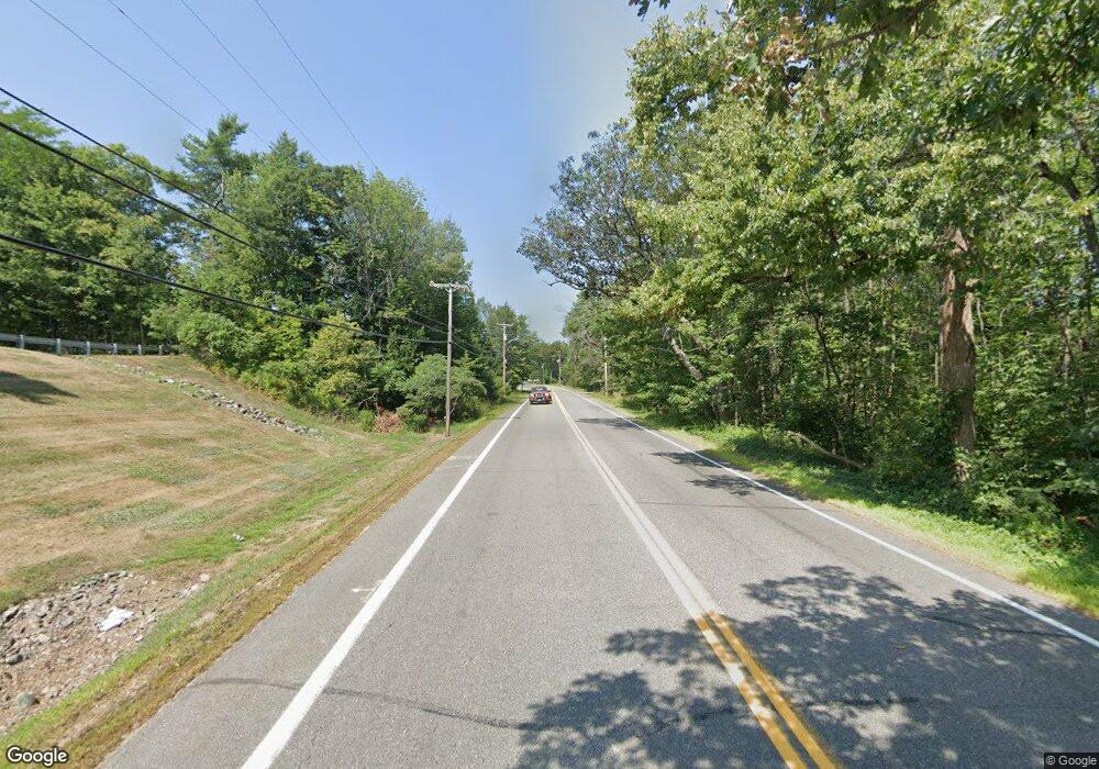
0 Route 25 Unit 584661 Parsonsfield, ME 04047
--
Bed
--
Bath
--
Sq Ft
0.71
Acres
About This Home
This home is located at 0 Route 25 Unit 584661, Parsonsfield, ME 04047. 0 Route 25 Unit 584661 is a home located in York County.
Create a Home Valuation Report for This Property
The Home Valuation Report is an in-depth analysis detailing your home's value as well as a comparison with similar homes in the area
Home Values in the Area
Average Home Value in this Area
Tax History Compared to Growth
Map
Nearby Homes
- 266 S Hiram Rd
- 35 Pine St
- 32 Summer St
- 12 Main St
- 696 S Hiram Rd
- 122 Ossipee Trail
- 96 Maple St
- Lot #8 Jordan Heights Rd
- Lot #2 Jordan Heights Rd
- Lot #3 Jordan Heights Rd
- 20 Main St
- Lot #4 Jordan Heights Rd
- Lot #11 Jordan Heights Rd
- 4 Bridge St
- 248 Spec Pond Rd
- 272 Tripptown Rd
- 761 Pendexter Rd
- 20 Hollyhock Farm Ln
- 6-13 Main St
- 206 Gilman Rd
- 0 Route 25 Unit 176964
- 0 Route 25 Unit 659789
- 0 Route 25 Unit 1451642
- 350 Federal Rd
- 344 Federal Rd
- 362 Federal Rd
- 365 Federal Rd
- 328 Federal Rd
- 338 Federal Rd
- 312 Federal St
- 19 Dewitt Ln
- 0 Maple St Unit 277976
- 0 Maple St Unit 225610
- 0 Maple St Unit 221805
- 0 Maple St Unit 166264
- 0 Maple St Unit 947249
- 0 Maple St Unit 968788
- 0 Maple St Unit 1441323
- 275 S South Hiram Rd
- 275 S Hiram Rd