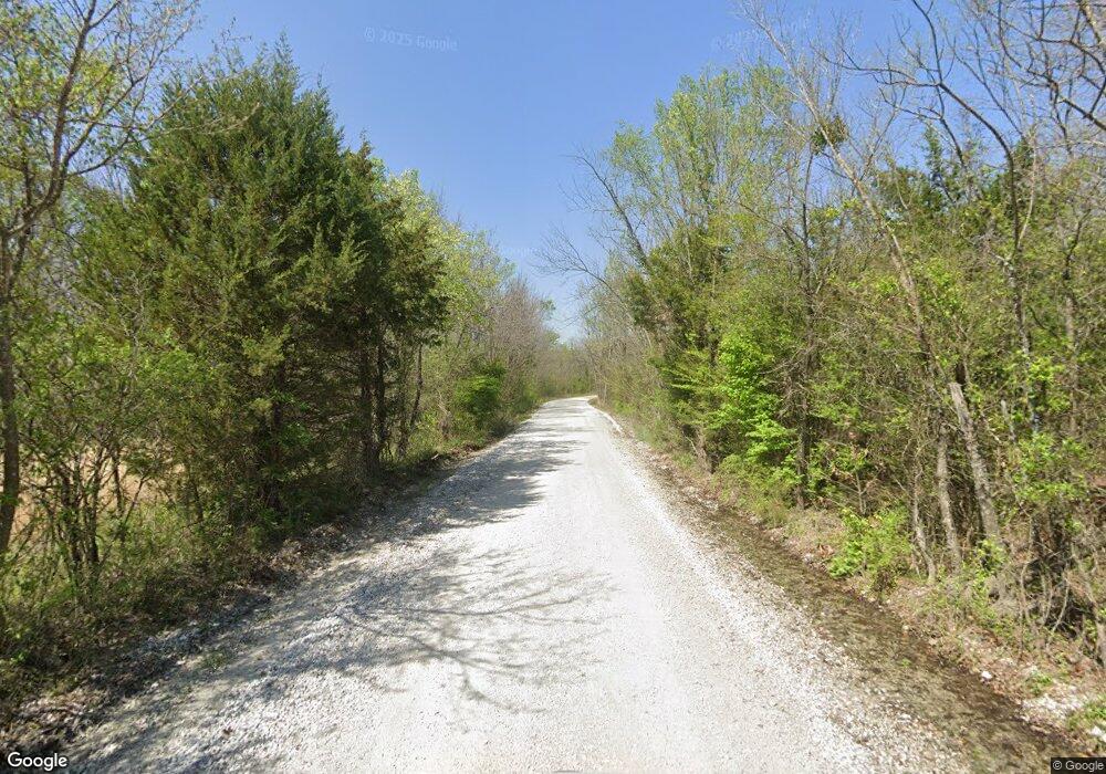
0 S 4495 Rd Unit 1818591 Gore, OK 74435
Redbird Smith NeighborhoodEstimated Value: $54,110
--
Bed
--
Bath
1,232
Sq Ft
$44/Sq Ft
Est. Value
About This Home
This home is located at 0 S 4495 Rd Unit 1818591, Gore, OK 74435 and is currently estimated at $54,110, approximately $43 per square foot. 0 S 4495 Rd Unit 1818591 is a home located in Sequoyah County with nearby schools including Vian Elementary School, Vian Middle School, and Vian High School.
Ownership History
Date
Name
Owned For
Owner Type
Purchase Details
Closed on
May 21, 2019
Sold by
Ford Bryce R and Ford Sharon R
Bought by
Black Brian and Black Angela
Current Estimated Value
Purchase Details
Closed on
Aug 22, 2012
Sold by
Bullock Barbara D
Bought by
Buttery David H and Buttery Sherry L
Home Financials for this Owner
Home Financials are based on the most recent Mortgage that was taken out on this home.
Original Mortgage
$32,661
Interest Rate
3.57%
Mortgage Type
Future Advance Clause Open End Mortgage
Purchase Details
Closed on
Jun 24, 2004
Sold by
Red Bird Ranch Inc
Bought by
Bullock Barbara D
Create a Home Valuation Report for This Property
The Home Valuation Report is an in-depth analysis detailing your home's value as well as a comparison with similar homes in the area
Home Values in the Area
Average Home Value in this Area
Purchase History
| Date | Buyer | Sale Price | Title Company |
|---|---|---|---|
| Black Brian | $34,000 | Valley Land Title Company | |
| Buttery David H | $10,000 | None Available | |
| Bullock Barbara D | -- | -- |
Source: Public Records
Mortgage History
| Date | Status | Borrower | Loan Amount |
|---|---|---|---|
| Previous Owner | Buttery David H | $32,661 |
Source: Public Records
Tax History Compared to Growth
Tax History
| Year | Tax Paid | Tax Assessment Tax Assessment Total Assessment is a certain percentage of the fair market value that is determined by local assessors to be the total taxable value of land and additions on the property. | Land | Improvement |
|---|---|---|---|---|
| 2025 | $2,067 | $21,244 | $2,745 | $18,499 |
| 2024 | $2,067 | $1,980 | $1,980 | $0 |
| 2023 | $190 | $3,740 | $3,740 | $0 |
| 2022 | $363 | $3,740 | $3,740 | $0 |
| 2021 | $359 | $3,740 | $3,740 | $0 |
| 2020 | $372 | $3,740 | $3,740 | $0 |
| 2019 | $166 | $1,657 | $1,657 | $0 |
| 2018 | $254 | $2,816 | $2,816 | $0 |
| 2017 | $256 | $2,816 | $2,816 | $0 |
| 2016 | $257 | $2,816 | $2,816 | $0 |
| 2015 | $259 | $2,816 | $2,816 | $0 |
| 2014 | $33 | $356 | $356 | $0 |
Source: Public Records
Map
Nearby Homes
- TBD S 4497 Rd
- 100752 S 4497 Rd
- 100228 S 4500 Rd
- 449400 E 988 Rd
- 0 S 4494 Unit 2544945
- 5 E 980 Rd
- 97400 S 4498 Rd
- 98199 S 4498 Rd
- 100835 5440 Rd
- 99951 State Highway 82
- 3 E 984 Rd
- 98399 S 4503 Rd
- 98336 S 4503 Rd
- 98138 S 4492 Rd
- 98224 S 4489 Rd
- 98144 S 4489 Rd
- 449393 E 980 Rd
- 8 Darcy Dr
- 4 Darcy Dr
- 96729 S 4488 Rd
- 0 S 4495 Rd Unit 1735298
- 0 S 4495 Rd Unit 1807031
- 0 S 4495 Rd Unit 1824994
- 0 S 4495 Rd Unit 1842664
- 0 S 4495 Rd Unit 1900412
- 98366 S 4503 Rd
- 451966 E 980 Rd
- 449977 E 1000 Rd
- 01 S 4497 Rd
- 0 S 4498 Rd Unit 2128226
- 100077 S 4492 Rd
- 449960 E 1000 Rd
- 99566 S 4491 Rd
- 12026 Moonshine Rd
- 0 Moonshine Rd
- 0 S 4497 Rd
- 0 Moonshine Road 1000 Rd Unit 2340405
- 99892 Highway 100
