Estimated Value: $674,000 - $743,000
4
Beds
3
Baths
2,666
Sq Ft
$271/Sq Ft
Est. Value
About This Home
This home is located at 0 S Cove Dr Unit 2110588, Afton, OK 74331 and is currently estimated at $721,736, approximately $270 per square foot. 0 S Cove Dr Unit 2110588 is a home located in Delaware County with nearby schools including Cleora Public School.
Ownership History
Date
Name
Owned For
Owner Type
Purchase Details
Closed on
Oct 21, 2024
Sold by
Bell Gigi and Bell Dustin T
Bought by
Bell Gi Gi and Bell Dustin T
Current Estimated Value
Purchase Details
Closed on
Feb 2, 2016
Sold by
Buford Edward E and Bufford Bonnie
Bought by
Gustas Peter Nelson
Purchase Details
Closed on
Oct 1, 2004
Sold by
Grover Gary and Grover Michelle~Ford
Purchase Details
Closed on
Oct 28, 1998
Sold by
Grover Orrin F Trust
Create a Home Valuation Report for This Property
The Home Valuation Report is an in-depth analysis detailing your home's value as well as a comparison with similar homes in the area
Home Values in the Area
Average Home Value in this Area
Purchase History
| Date | Buyer | Sale Price | Title Company |
|---|---|---|---|
| Bell Gi Gi | -- | None Listed On Document | |
| Bell Gi Gi | -- | None Listed On Document | |
| Gustas Peter Nelson | $4,000 | None Available | |
| Gustas Peter Nelson | $4,000 | None Available | |
| -- | -- | -- | |
| -- | -- | -- | |
| -- | -- | -- | |
| -- | -- | -- |
Source: Public Records
Tax History Compared to Growth
Tax History
| Year | Tax Paid | Tax Assessment Tax Assessment Total Assessment is a certain percentage of the fair market value that is determined by local assessors to be the total taxable value of land and additions on the property. | Land | Improvement |
|---|---|---|---|---|
| 2025 | $38 | $57,578 | $1,409 | $56,169 |
| 2024 | $38 | $460 | $460 | $0 |
| 2023 | $38 | $460 | $460 | $0 |
| 2022 | $38 | $460 | $460 | $0 |
| 2021 | $39 | $460 | $460 | $0 |
| 2020 | $39 | $460 | $460 | $0 |
| 2019 | $39 | $460 | $460 | $0 |
| 2018 | $40 | $460 | $460 | $0 |
| 2017 | $40 | $460 | $460 | $0 |
| 2016 | $72 | $863 | $863 | $0 |
| 2015 | $65 | $863 | $863 | $0 |
| 2014 | $65 | $863 | $863 | $0 |
Source: Public Records
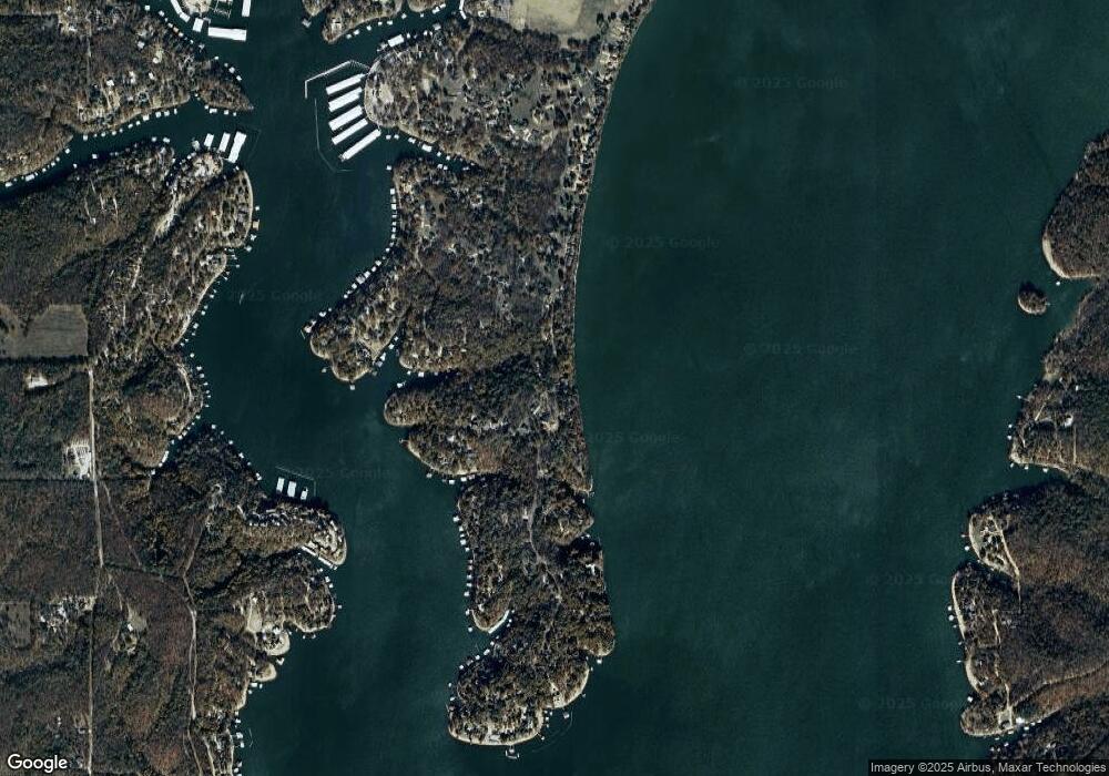
Map
Nearby Homes
- 0 S Coves Dr Unit 2516517
- 33765 S Coves Dr
- 451505 Mountain Quail Ln
- 33872 S Coves Dr
- 0 Lot 22 Blk 2 Coves
- 0 Lot 23 Blk 2 Coves
- 33690 Sage Grouse Cir
- 33601 Dogwood Cliff Townhomes Unit 6
- 33601 Dogwood Cliff Unit 15
- 33601 Dogwood Cliff Unit 14
- 33601 Dogwood Cliff
- 33662 Quail Ct
- TBD Pheasant Cir
- 0 Pheasant Cir Unit 25-2070
- 0 Lot 36 Blk 2 Pheasant Cir
- 33469 Blue Grouse Dr
- 0 Pheasant Ln
- 451354 Pheasant Ln
- 0 Blue Grouse Dr
- TBD Blue Grouse Dr
- 0 S Cove Dr Unit 227283
- 0 S Cove Dr Unit 304073
- 0 S Cove Dr Unit 2236267
- 0 S Cove Dr Unit 2037002
- 0 S Cove Dr Unit 2211643
- 0 S Coves Dr Unit 301026
- 0 S Coves Dr Unit 226406
- 0 S Coves Dr Unit 1024378
- 0 S Coves Dr Unit 1024366
- 0 S Coves Dr Unit 1024370
- 0 S Coves Dr Unit 110216
- 0 S Coves Dr Unit 304075
- 0 S Coves Dr Unit 304068
- 0 S Coves Dr Unit 1312208
- 0 S Coves Dr Unit 1401004
- 0 S Coves Dr Unit 218635
- 0 S Coves Dr Unit 915850
- 0 S Coves Dr Unit 21-983
- 0 S Coves Dr Unit 20-1855
- 0 S Coves Dr Unit 18-537