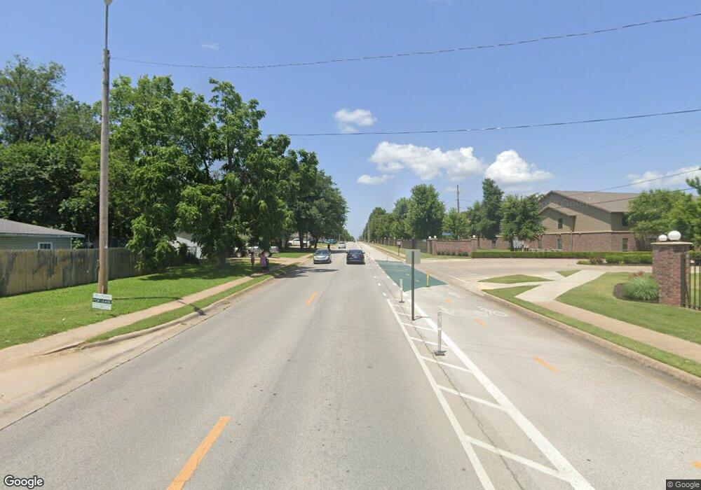
0 S Powell St Unit 1072510 Springdale, AR 72764
Estimated Value: $462,635 - $617,000
--
Bed
1
Bath
117,196
Sq Ft
$5/Sq Ft
Est. Value
About This Home
This home is located at 0 S Powell St Unit 1072510, Springdale, AR 72764 and is currently estimated at $539,818, approximately $4 per square foot. 0 S Powell St Unit 1072510 is a home located in Washington County with nearby schools including Jones Elementary School, J. O. Kelly Middle School, and George Junior High School.
Ownership History
Date
Name
Owned For
Owner Type
Purchase Details
Closed on
Mar 28, 2016
Sold by
Griggs Curtis James and King Bruline E
Bought by
Bjm Development Llc
Current Estimated Value
Purchase Details
Closed on
Feb 25, 2008
Sold by
Griggs Curtis James and King Burline E
Bought by
Griggs Curtis James and King Burline E
Purchase Details
Closed on
Jan 1, 1985
Bought by
Griggs Vola
Create a Home Valuation Report for This Property
The Home Valuation Report is an in-depth analysis detailing your home's value as well as a comparison with similar homes in the area
Home Values in the Area
Average Home Value in this Area
Purchase History
| Date | Buyer | Sale Price | Title Company |
|---|---|---|---|
| Bjm Development Llc | $200,000 | Advantage Title & Escrow | |
| Griggs Curtis James | -- | None Available | |
| Griggs Vola | -- | -- |
Source: Public Records
Tax History Compared to Growth
Tax History
| Year | Tax Paid | Tax Assessment Tax Assessment Total Assessment is a certain percentage of the fair market value that is determined by local assessors to be the total taxable value of land and additions on the property. | Land | Improvement |
|---|---|---|---|---|
| 2025 | $149,840 | $2,898,260 | $73,700 | $2,824,560 |
| 2024 | $3,810 | $73,700 | $73,700 | $0 |
| 2023 | $1,797 | $52,700 | $52,700 | $0 |
| 2022 | $1,634 | $31,000 | $31,000 | $0 |
| 2021 | $1,634 | $31,000 | $31,000 | $0 |
| 2020 | $899 | $31,000 | $31,000 | $0 |
| 2019 | $817 | $21,820 | $15,500 | $6,320 |
| 2018 | $1,150 | $21,820 | $15,500 | $6,320 |
| 2017 | $1,139 | $21,820 | $15,500 | $6,320 |
| 2016 | $789 | $21,820 | $15,500 | $6,320 |
| 2015 | $789 | $21,820 | $15,500 | $6,320 |
| 2014 | $915 | $24,240 | $16,660 | $7,580 |
Source: Public Records
Map
Nearby Homes
- 215 E Velma Ave
- 323 Caudle Ave
- 506 Caudle Ave
- 614 S Cleveland St
- 906 Holcomb St
- 16937 Arkansas 265
- 17015 Arkansas 265
- 614 David St
- 604 Crutcher St Unit A
- 522 Cormay Ct Unit A & B
- 1405 Young St
- 713 Maple Dr
- 0 Arkansas 265
- 421 Lucian Ln
- 710 E Meadow Ave
- 2006 A & B Christy Dr
- 2104 Hummingbird Dr
- 2008 A,B,C,D Kim Ave
- 1408 Christy Dr
- 2103 A,B,C,D Christy Dr
- 1506 Powell St
- 1510 S Powell St
- 9.50 Acres Powell St
- 1615 Hangar B Airport Ave
- 1608 Powell St
- 509 Fink Dr
- 505 Fink Dr
- 1407 Powell St
- 503 Fink Dr
- 1700 Powell St
- 510 Sisters Ave
- 501 Fink Dr
- 0 Powell Texas Park St Unit 1188230
- 409 Fink Dr
- 500 Sisters Ave
- 1414 Powell St
- 1414 Powell St Unit 202
- 1414 Powell St
- 1414 S Powell St
- 406 Sisters Ave
