0 S Unknown Rd Spangle, WA 99031
Estimated Value: $416,511 - $559,000
3
Beds
1
Bath
1,577
Sq Ft
$310/Sq Ft
Est. Value
About This Home
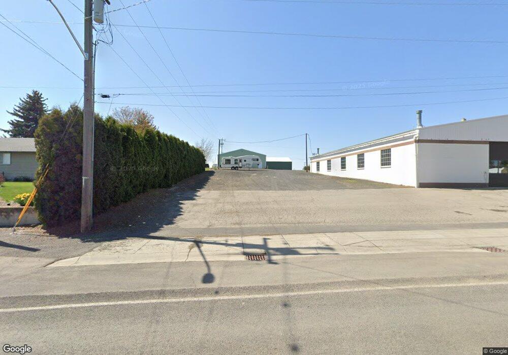
This home is located at 0 S Unknown Rd, Spangle, WA 99031 and is currently estimated at $488,128, approximately $309 per square foot. 0 S Unknown Rd is a home with nearby schools including Liberty Elementary/Junior High School, Liberty High School, and Upper Columbia Academy - Elementary School.
Ownership History
Date
Name
Owned For
Owner Type
Purchase Details
Closed on
Jul 11, 2016
Sold by
Boulder Creek Inc
Bought by
Greenburg Dan and Greenburg Janet
Current Estimated Value
Home Financials for this Owner
Home Financials are based on the most recent Mortgage that was taken out on this home.
Original Mortgage
$250,000
Outstanding Balance
$199,318
Interest Rate
3.54%
Mortgage Type
Seller Take Back
Estimated Equity
$288,810
Create a Home Valuation Report for This Property
The Home Valuation Report is an in-depth analysis detailing your home's value as well as a comparison with similar homes in the area
Purchase History
| Date | Buyer | Sale Price | Title Company |
|---|---|---|---|
| Greenburg Dan | $250,000 | Spokane County Title Company |
Source: Public Records
Mortgage History
| Date | Status | Borrower | Loan Amount |
|---|---|---|---|
| Open | Greenburg Dan | $250,000 |
Source: Public Records
Tax History
| Year | Tax Paid | Tax Assessment Tax Assessment Total Assessment is a certain percentage of the fair market value that is determined by local assessors to be the total taxable value of land and additions on the property. | Land | Improvement |
|---|---|---|---|---|
| 2025 | $2,581 | $376,850 | $173,850 | $203,000 |
| 2024 | $2,581 | $300,710 | $91,310 | $209,400 |
| 2023 | $2,149 | $280,580 | $79,780 | $200,800 |
| 2022 | $2,108 | $302,180 | $79,780 | $222,400 |
| 2021 | $2,052 | $226,230 | $72,530 | $153,700 |
| 2020 | $1,804 | $197,310 | $71,110 | $126,200 |
| 2019 | $1,557 | $180,710 | $66,010 | $114,700 |
| 2018 | $1,606 | $162,510 | $53,010 | $109,500 |
| 2017 | $1,469 | $136,510 | $33,310 | $103,200 |
| 2016 | $1,204 | $117,840 | $14,040 | $103,800 |
| 2015 | $1,266 | $117,340 | $13,540 | $103,800 |
| 2014 | -- | $117,340 | $13,540 | $103,800 |
| 2013 | -- | $0 | $0 | $0 |
Source: Public Records
Map
Nearby Homes
- 32311 S North Pine Creek Rd
- 0 Unassigned Address Rd Unit SAR202513397
- XXXXX Vacant Land
- 11900 E Hays Rd Unit Lot A - Parcel 9030
- 3703 Plaza Rd
- 365 N Pine St
- Lot 2 Nka Cheney Spangle Rd Unit Parcel 32085.9041
- 1112 E Jennings Rd
- 3013 E Watt Rd
- XXX E Cornwall Rd
- XX Vacant Land
- 1403 W Jennings Rd
- 102 E Cameron Rd
- 21608 S Mill Rd
- 20xxx S Parker Rd
- 209 E Ticknor St
- 27711 S Cheney Spangle Rd
- 22711 S Gateway Ln
- 4408 E Spangle Creek Rd
- 101 Kelsey Rd
- 0 E Davis Rd
- 5508 E Davis Rd
- 30115 S North Pine Creek Rd
- 30114 S North Pine Creek Rd
- 30616 S North Pine Creek Rd
- 6810 E Spangle Waverly Rd
- 0 E Spangle Waverly Rd
- X E Spangle Waverly Rd
- 30915 N Pine Creek
- 29818 N Pine Creek Rd
- 29515 S North Kentuck Trails Rd
- 30915 S North Pine Creek Rd
- 6919 E Spangle Waverly Rd
- 31404 S North Pine Creek Rd
- 000 E Spangle Waverly Rd
Your Personal Tour Guide
Ask me questions while you tour the home.