0 Sampsons Mill Rd Barnstable, MA 02635
Cotuit Neighborhood
--
Bed
--
Bath
--
Sq Ft
88,862
Sq Ft Lot
About This Home
This home is located at 0 Sampsons Mill Rd, Barnstable, MA 02635. 0 Sampsons Mill Rd is a home located in Barnstable County with nearby schools including West Villages Elementary School, Barnstable United Elementary School, and Barnstable Intermediate School.
Create a Home Valuation Report for This Property
The Home Valuation Report is an in-depth analysis detailing your home's value as well as a comparison with similar homes in the area
Home Values in the Area
Average Home Value in this Area
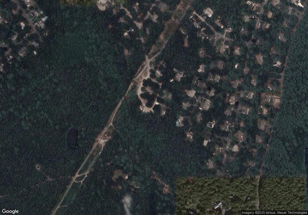
Map
Nearby Homes
- 602 Putnam Ave
- 15 Geraldine Rd
- 1456 Santuit-Newtown Rd
- 75 Bob White Run
- 1415 Old Post Rd
- 564 Cotuit Bay Dr
- 564 Cotuit Bay Dr
- 165 Baxter Neck Rd
- 170 Forest Hills Rd
- 135 Putnam Avenue (Land)
- 835 Old Post Rd
- 78 Brittany Dr
- 226 Dunrobin Rd
- 804 Main St
- 359 Baxter Neck Rd
- 70 Cape Dr Unit 14D
- 70 Cape Dr Unit 11D
- 70 Cape Dr Unit 11D
- 239 Oxford Dr
- 71 Sand Point
- 415 Sampsons Mill Rd
- 415 Sampsons Mill Rd
- 13 Thankful Ln
- 429 Sampsons Mill Rd
- 87 Roosevelt Rd
- 75 Roosevelt Rd
- 14 Thankful Ln
- 455 Sampsons Mill Rd
- 63 Roosevelt Rd
- 80 Roosevelt Rd
- 49 Roosevelt Rd
- 32 Thankful Ln
- 66 Roosevelt Rd
- 33 Roosevelt Rd
- 108 Roosevelt Rd
- 54 Roosevelt Rd
- 37 Thankful Ln
- 109 Roosevelt Rd
- 40 Roosevelt Rd
- 19 Roosevelt Rd
Your Personal Tour Guide
Ask me questions while you tour the home.