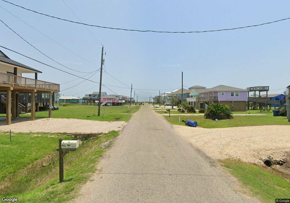
0 Sand Dune Ct Unit 11826740 Surfside Beach, TX 77541
Estimated Value: $501,000 - $585,000
--
Bed
--
Bath
880
Sq Ft
$611/Sq Ft
Est. Value
About This Home
This home is located at 0 Sand Dune Ct Unit 11826740, Surfside Beach, TX 77541 and is currently estimated at $538,000, approximately $611 per square foot. 0 Sand Dune Ct Unit 11826740 is a home located in Brazoria County with nearby schools including O'Hara Lanier Middle School, Freeport Intermediate School, and Brazosport High School.
Ownership History
Date
Name
Owned For
Owner Type
Purchase Details
Closed on
Aug 25, 2022
Sold by
Mulhollan Renalde L and Mulhollan Melinda
Bought by
Red Oak Office Space Llc
Current Estimated Value
Purchase Details
Closed on
Nov 20, 2021
Sold by
Carter Chrysta S
Bought by
Mulhollan Renalde and Mulhollan Melinda
Purchase Details
Closed on
Sep 24, 2003
Sold by
Linscombe John Caleb and Linscombe John Eric
Bought by
Brazos River Harbor Navigation District and Village Of Surfside Beach
Create a Home Valuation Report for This Property
The Home Valuation Report is an in-depth analysis detailing your home's value as well as a comparison with similar homes in the area
Home Values in the Area
Average Home Value in this Area
Purchase History
| Date | Buyer | Sale Price | Title Company |
|---|---|---|---|
| Red Oak Office Space Llc | -- | Stewart Title | |
| Mulhollan Renalde | -- | Great American Title | |
| Brazos River Harbor Navigation District | -- | -- |
Source: Public Records
Tax History Compared to Growth
Tax History
| Year | Tax Paid | Tax Assessment Tax Assessment Total Assessment is a certain percentage of the fair market value that is determined by local assessors to be the total taxable value of land and additions on the property. | Land | Improvement |
|---|---|---|---|---|
| 2025 | $9,964 | $479,880 | $314,570 | $165,310 |
| 2023 | $9,964 | $529,360 | $333,070 | $196,290 |
| 2022 | $1,326 | $60,140 | $60,140 | $0 |
| 2021 | $3,346 | $143,410 | $143,410 | $0 |
| 2020 | $3,334 | $143,410 | $143,410 | $0 |
| 2019 | $4,191 | $124,900 | $124,900 | $0 |
| 2018 | $2,623 | $106,400 | $106,400 | $0 |
| 2017 | $2,642 | $106,400 | $106,400 | $0 |
| 2016 | $2,648 | $106,400 | $106,400 | $0 |
| 2014 | $3 | $100 | $100 | $0 |
Source: Public Records
Map
Nearby Homes
- 214 Sand Dune Ct
- 106 Sand Dune Ct
- 130 Coral Ct
- 114 Coral Ct
- 125 Driftwood Ct
- 215 Driftwood Ct
- 507 Point Lookout
- 510 Point Lookout
- 315 Coral Ct
- 0 Ocean Ave
- 523 Blue Water Hwy
- 601 Wave Ct
- 334 Sand Dune Ct
- 110 Ocean Ave
- 617 Wave Ct
- 622 Crane Ct
- 323 Ocean Ave
- 203 Francis Cove
- 509 Bluewater Hwy
- 753 Bluewater Hwy
- 0 Sand Dune Ct Unit 38567
- 0 Sand Dune Ct Unit 27993
- 0 Sand Dune Ct Unit 46224
- 0 Sand Dune Ct Unit 14511342
- 0 Sand Dune Ct Unit 45935559
- 0 Sand Dune Ct Unit 63123470
- 0 Sand Dune Ct Unit 57238639
- 105 Sand Dune Ct
- Lot 2 Sand Dune Ct
- 111 Sand Dune Ct
- 115 Sand Dune Ct
- 114 Sand Dune Ct
- 110 Sand Dune Ct
- 202 Sand Dune Ct
- 211 Sand Dune Ct
- 7 Driftwood Ct
- 100 Coral St
- 206 Driftwood Ct