
Estimated payment $64/month
Total Views
2,899
10
Acres
$1,100
Price per Acre
435,600
Sq Ft Lot
Highlights
- No HOA
- Brush Vegetation
- Level Lot
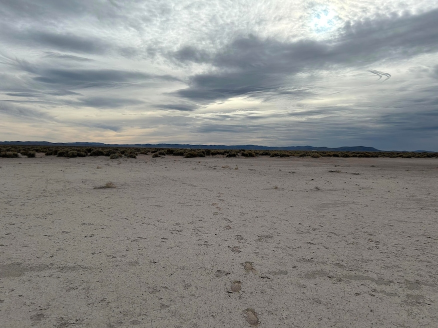
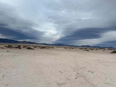
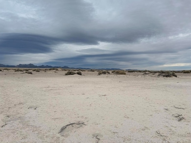
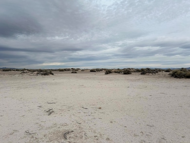
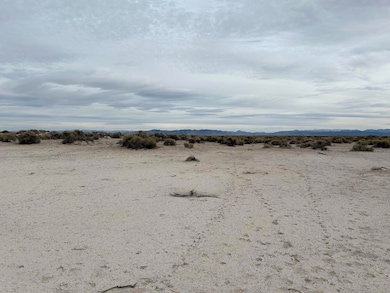
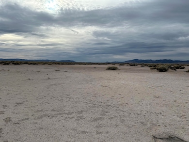
About This Lot
Beautiful and spacious 10 acre parcel approx. 4.3 miles southwest of Beryl. Great 360 Degree mountain and valley views. Enjoy the secluded and serenity of living off grid or a place to visit and camp with family and friends throughout the year. NO HOA or CCR's. Buyer to verify all information..

Property Details
Property Type
- Land
Lot Details
- 10 Acre Lot
- Brush Vegetation
- Native Plants
- Level Lot
- Property is zoned A20
Utilities
- Electricity Not Available
- Natural Gas Not Available
Community Details
- No Home Owners Association
Listing and Financial Details
- Assessor Parcel Number E-1524-0003-0002
Map
Create a Home Valuation Report for This Property
The Home Valuation Report is an in-depth analysis detailing your home's value as well as a comparison with similar homes in the area
Home Values in the Area
Average Home Value in this Area
Tax History
| Year | Tax Paid | Tax Assessment Tax Assessment Total Assessment is a certain percentage of the fair market value that is determined by local assessors to be the total taxable value of land and additions on the property. | Land | Improvement |
|---|---|---|---|---|
| 2025 | $66 | $8,855 | $8,855 | -- |
| 2023 | $66 | $8,855 | $8,855 | $0 |
| 2022 | $65 | $7,700 | $7,700 | $0 |
| 2021 | $30 | $3,500 | $3,500 | $0 |
| 2020 | $24 | $2,500 | $2,500 | $0 |
| 2019 | $25 | $2,500 | $2,500 | $0 |
| 2018 | $26 | $2,500 | $2,500 | $0 |
| 2017 | $25 | $2,500 | $2,500 | $0 |
| 2016 | $28 | $2,500 | $2,500 | $0 |
Source: Public Records
Property History
| Date | Event | Price | List to Sale | Price per Sq Ft |
|---|---|---|---|---|
| 10/01/2025 10/01/25 | Price Changed | $11,000 | -12.0% | -- |
| 07/09/2025 07/09/25 | Price Changed | $12,500 | -19.4% | -- |
| 05/04/2025 05/04/25 | For Sale | $15,500 | -- | -- |
Source: Iron County Board of REALTORS®
Source: Iron County Board of REALTORS®
MLS Number: 111185
APN: E-1524-0003-0002
Nearby Homes
- 0 Se1 4nw1 4sw1 4sec 3 T34s R17w Unit 25-260954
- 15 Acres Tax Id#0265543
- 15 Acres Tax Id#0265543
- 320 N 32 W
- 5 Acres With 0 5 Af of Water
- 0 15 Af of Water Right Unit 112858
- 0 20 Acres Unit E 5300 N SEC 35, T34
- 0 15 Af of Water Right Beryl Unit 25-264524
- 0 45 A F Water Right Unit 25-263178
- 0 45 A F Water Right Unit 112285
- 40 N 800 W
- Block 46 Lot 7
- BLK 77 Lot 24
- BLK 77 Lot 23
- 7985 W 7200 N
- 0 Unit 111559
- 7087 N 6500 W
- 0 19 86 Acre Lot + 1 A F Water Unit 25-261715
- 10090 N 600 W
- 9640 N 600 W